Anchorage· Koh Phing Kan (James Bond Island)· Thailand
James Bond Island Anchorage (Koh Daeng Yai channel)
8° 16.6′ N · 98° 29.0′ E
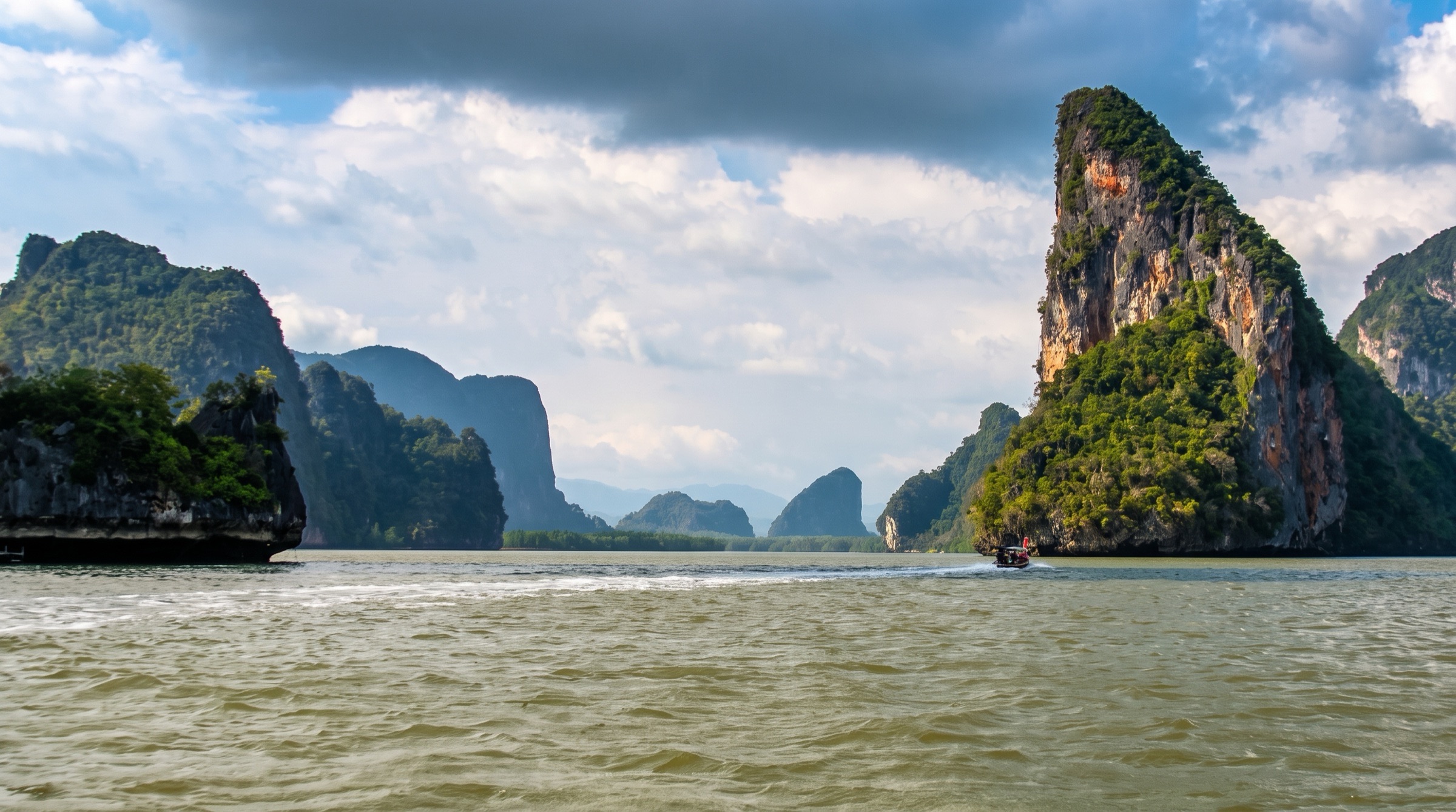
The best overnight spot near James Bond Island lies in the channel between Koh Raya Ring and the sheer cliffs of Koh Daeng Yai, which the Southeast Asia Pilot calls an exceptionally beautiful place to wake up.
Practical
Southeast Asia Pilot 'James Bond Anchorage (A)' waypoint 08°16.593N 98°28.965E, about 19 nm from Yacht Haven. 5–8 m, mud, good holding. Current up to 2 knots in the channel, strongest on the ebb. The sandbank east of the anchorage is very shallow and almost dries at low tide. Approach from the south through the Koh Yang / Koh Daeng Yai channel, keeping east of Koh Yang (a tall, thin rock column visible from far south), or from the southeast on the transit Koh Lolo in line with Koh Khai to clear the sand bars. A submerged rock in the Koh Yang / Koh Daeng Yai channel is missing from many charts, lies just below the surface at low tide and has been hit many times. Ao Phang Nga National Park fee is collected in cash by rangers who come to the boat: Southeast Asia Pilot quotes 400 THB per person per day (undated, verify locally); a cruising yacht in January 2025 paid 300 THB per person on a receipt valid five days. Tham Lod sea cave at Koh Thalu is about 3 km north by dinghy or kayak, best at mid-tide or lower.
Best for
Waking up among the towers and reaching James Bond Island before the tours
Itineraries that stop here
Nearby
- Ao Phang Nga National Park Entry Fee0.6 NM away
- Koh Yang Anchorage (James Bond B)0.7 NM away
- Koh Tapu Limestone Spire1 NM away
- Koh Phing Kan (James Bond Island)1.1 NM away
- Tham Lod Sea Cave (Koh Thalu)1.7 NM away
- Koh Thalu (Koh Talu) Pierced Islets1.9 NM away
- Koh Na Khae (Koh Hong group)2.9 NM away
- Koh Hong Anchorage A (Phang Nga)3.3 NM away