Anchorage· Stuart· Salish Sea — San Juans, Gulf Islands & Desolation Sound
Reid Harbor (Stuart Island)
48° 40.3′ N · 123° 11.6′ W
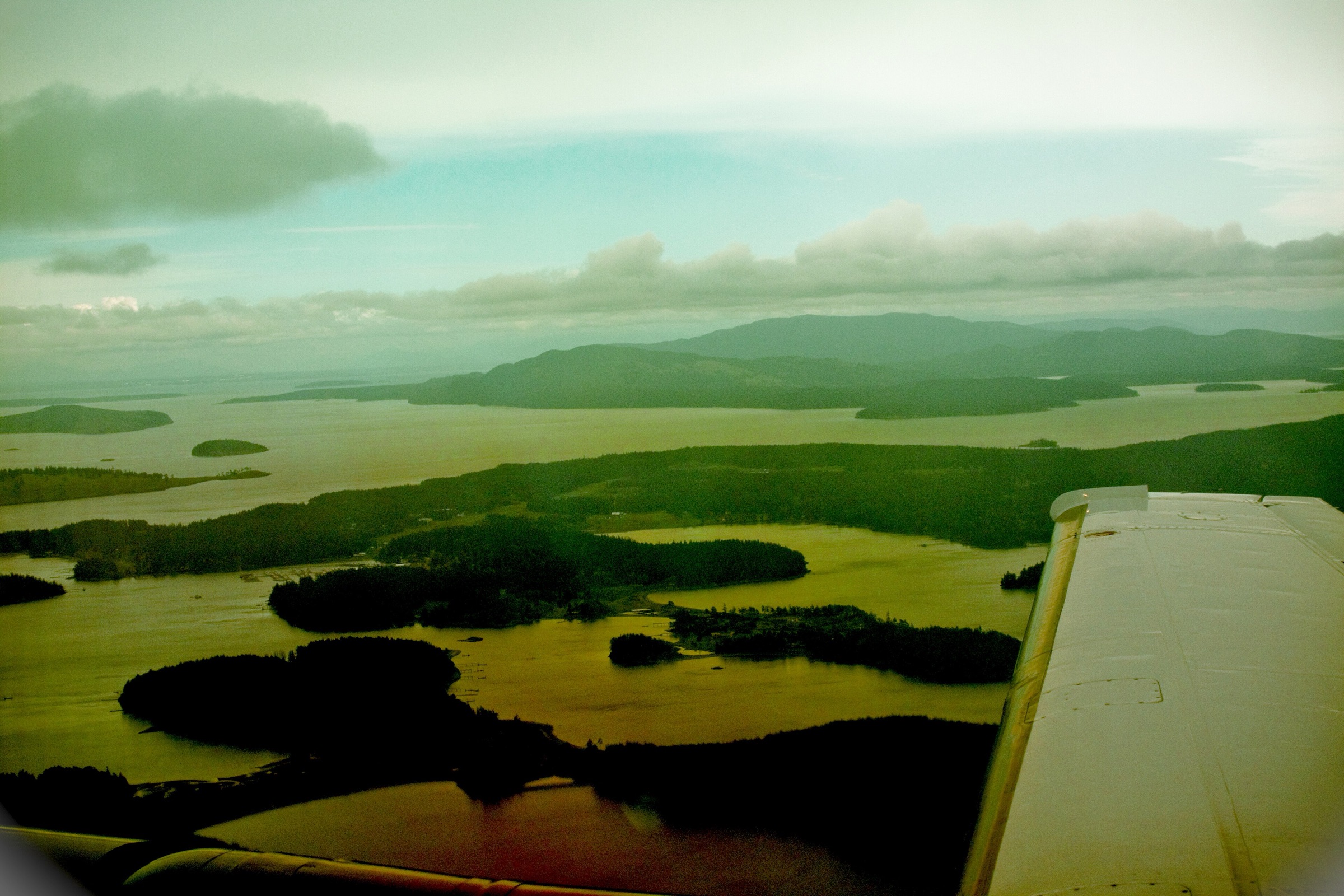
A long, narrow, landlocked harbour on Stuart Island, one of the most sheltered anchorages in the islands. A state park dock, buoys and camp sites sit at the head. From here a country road leads two miles to the Turn Point lighthouse.
Practical
Coordinate is the State Parks Reid Harbor point. Anchor mid-harbour in 4-5 fathoms (24-30 ft, 7-9 m), soft mud (Coast Pilot). Enter mid-channel: foul ground runs about halfway across from the east entrance point. 13 buoys and a 96 ft dock; composting toilet near the dock; barge-mounted pump-out (two slips, boats to 60 ft) with a portable-toilet dump. Construction alert: from October 13, 2026 to about February 2027 the dock is being replaced and the linear moorage removed; moorage stays open but you may not be able to get ashore, and the pump-out is closed October 14 to November 23, 2026. No drinking water October 1 to April 15. No garbage service. State Parks moorage (2025 rates, still posted in 2026): buoys $23 a night, docks $1 per foot ($23 minimum), charged from 1 pm to 8 am all year. Self-register and pay on arrival, rafted boats included; phone registration is posted at the buoys. An annual State Parks moorage permit ($7 per foot, $80 minimum) covers docks and buoys. Contact 360-378-2044.
Best for
All-weather anchorage and the walk to Turn Point
Season
Year-round; check State Parks alerts for the 2026-27 dock work
Itineraries that stop here
Nearby
- Prevost Harbor (Stuart Island)0.4 NM away
- Turn Point Lighthouse Hike (Stuart Island)2 NM away
- Spieden Island (from the water)3.1 NM away
- Roche Harbor Anchorage (San Juan Island)4 NM away
- Roche Harbor Resort Marina (San Juan Island)4 NM away
- Westcott Bay (San Juan Island)4.7 NM away
- Bedwell Harbour Customs Dock (South Pender)4.8 NM away
- Poets Cove Marina (Bedwell Harbour)4.8 NM away
Place data includes © OpenStreetMap contributors (ODbL).