Anchorage· Desolation Sound Marine Park· Salish Sea — San Juans, Gulf Islands & Desolation Sound
Prideaux Haven (Desolation Sound Marine Park)
50° 8.6′ N · 124° 41.1′ W
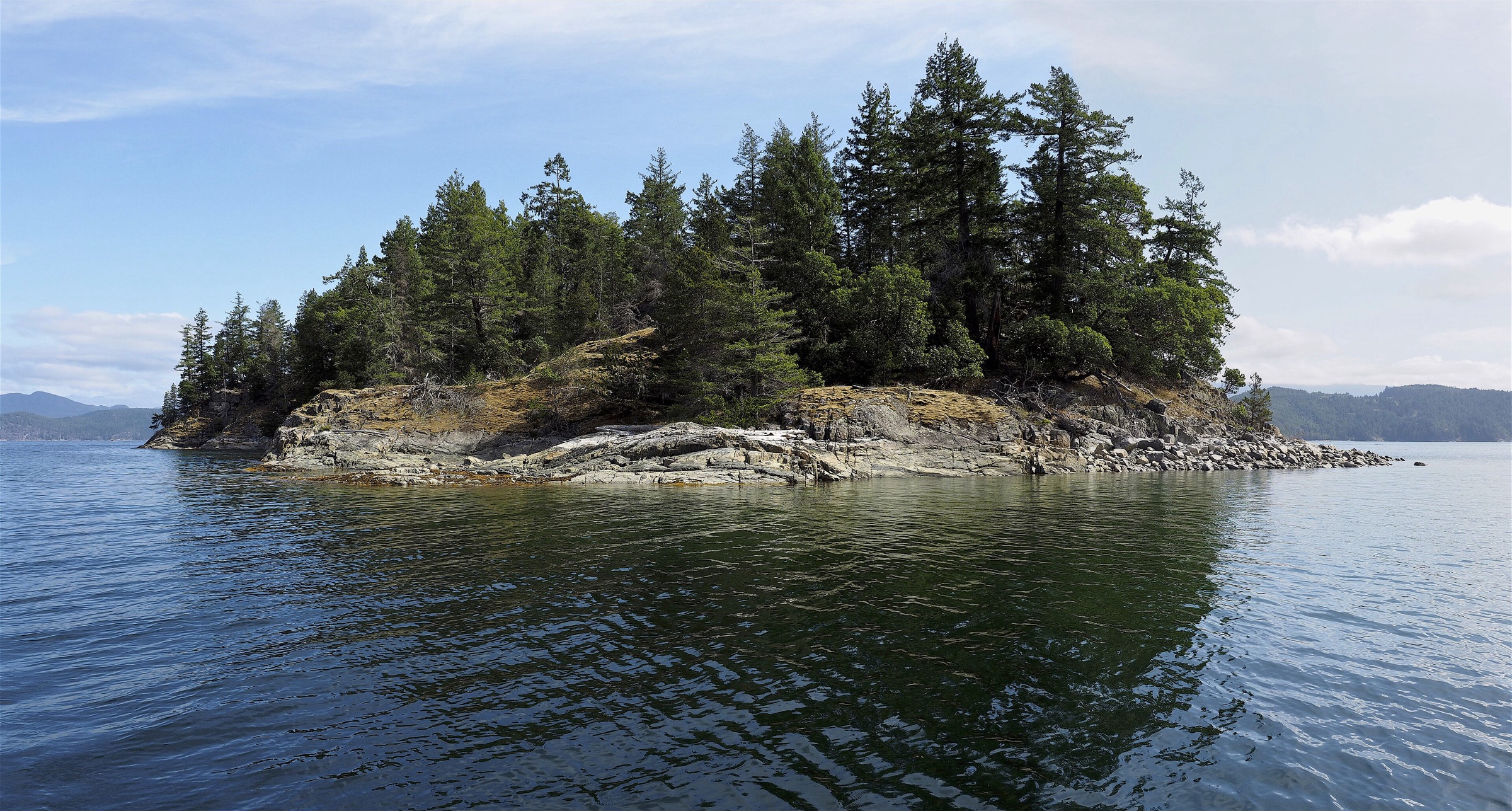
The best-known anchorage in Desolation Sound: a cluster of sheltered basins behind Eveleigh Island at the eastern end of the park. Granite shores, warm water and mountain views make it the classic stop. In high summer it is packed, often with large yachts.
Practical
Coordinate is the OSM point for Prideaux Haven. Federal Designated Sewage Area: no discharge of sewage at all, use your holding tank (pump-out at Lund). Stern-tie is the norm in summer except right in the middle; one guide counts 13 chained mooring eyes on the south-west shore of Eveleigh Island and 3 on the south-east side of Scobell Island. Enter at the east end of Eveleigh Island: a drying reef joins Eveleigh to the mainland and another nearly closes the east entrance, so after rounding Lucy Point favour the Eveleigh side. Use chart 3555 (large scale) or chartbook 3312; chart 3538 does not show enough detail. Excellent shelter. No camping. No services: nearest fuel, water and store at Refuge Cove (roughly 6-7 nm by water). No fires.
Best for
The classic Desolation Sound anchorage, swimming
Season
Jun-Sep; crowded Jul-Aug
Itineraries that stop here
Nearby
- Melanie Cove (Prideaux Haven)0.3 NM away
- Laura Cove (Prideaux Haven)0.7 NM away
- Tenedos Bay (Desolation Sound Marine Park)1.6 NM away
- Unwin Lake Trail (Tenedos Bay)1.7 NM away
- Curme Islands (Desolation Sound)2.8 NM away
- Desolation Sound Marine Park Rules and Camping Fees2.8 NM away
- Roscoe Bay (West Redonda Island)3.2 NM away
- Black Lake (Roscoe Bay)4.2 NM away
Place data includes © OpenStreetMap contributors (ODbL).