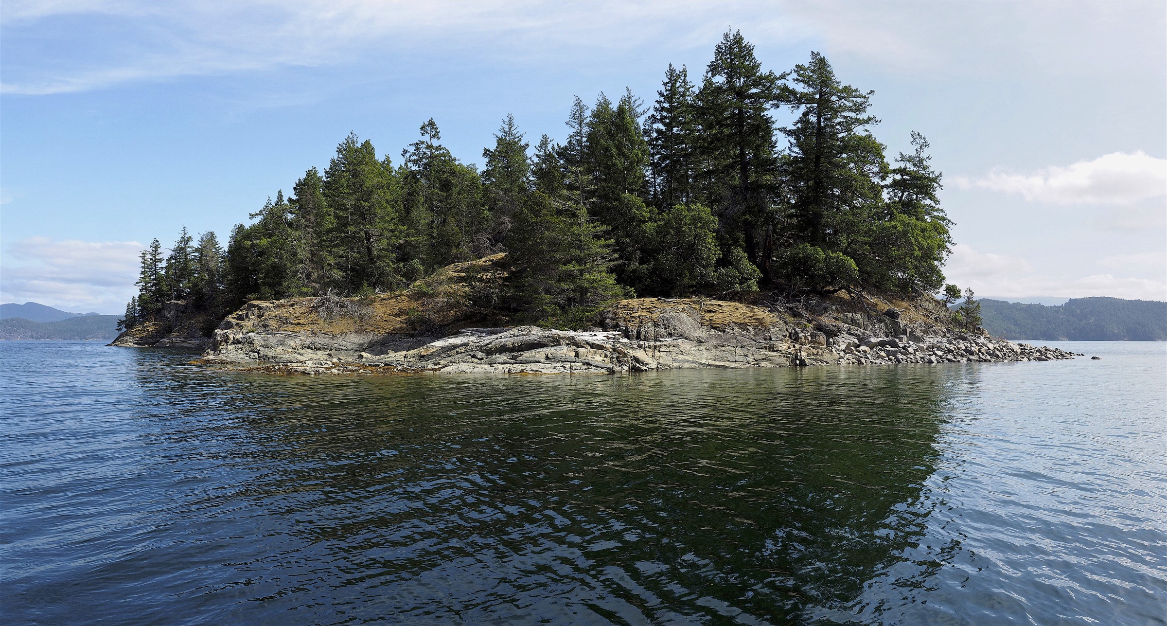
Desolation Sound from Comox
Desolation Sound & Discovery Islands
86 NM · Moderate · 7 days
♡ Not saved yet · No comments yet
ModerateOpen Strait of Georgia crossings, stern-tie anchorages and summer-only services; mostly sheltered inside.
A seven-day loop from Comox across the Strait of Georgia to Lund and into Desolation Sound: Grace Harbour, the granite basins of Prideaux Haven, the waterfall at Teakerne Arm, supplies at Refuge Cove and the wide anchorage of Squirrel Cove on Cortes Island. The water is warm by Canadian standards and the scenery is the draw. Expect stern-tying, summer-only services and one open crossing each way.
DAY 1 · Comox Valley Harbour Authority Marina (Comox)
Leave 9:00 am
The public harbour at the east end of the Comox breakwater, two blocks from downtown shops. It is the usual starting point for Desolation Sound trips from Vancouver Island. Comox Harbour is shallow behind Goose Spit: follow the navigation aids and your chart. Provision before you cross; there are few shops ahead.
- 8:00 amCheck the weather and military noticesCheck the Strait of Georgia forecast and the Whiskey Golf exercise notices before you cross.
22.5 NM · about 3 h 45 mto Lund Harbour (Malaspina Peninsula)
Lund Harbour (Malaspina Peninsula)
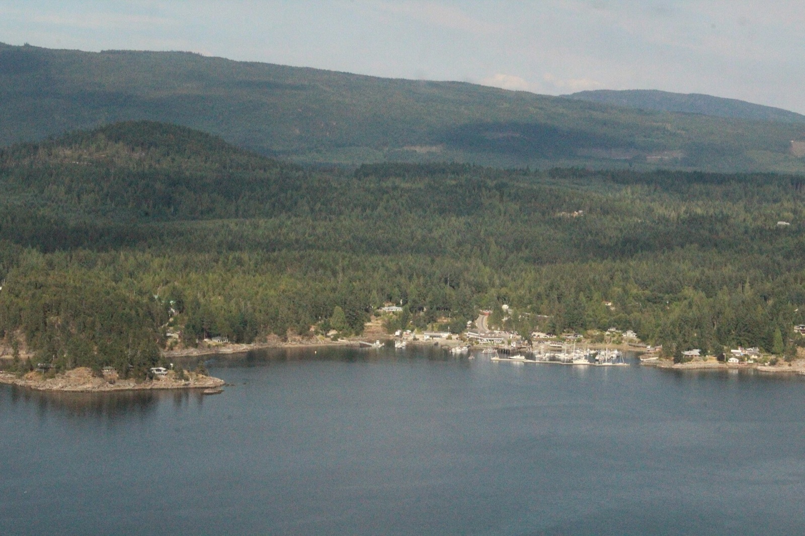 Photo: Hameltion (Wikimedia Commons) · CC BY-SA 4.0
Arrive 2:00 pm
Lund is the end of the highway and the last road-served harbour before Desolation Sound. A floating breakwater shelters the public docks, with a market, a bakery and a water taxi nearby. Call VHF 73 on approach; sources disagree on reservations, so arrive early, and fuel and pump out before heading north.
- 4:00 pmFuel and pump outTop up here: the park is a no-discharge area and there are few services ahead.
5 NM · about 50 mto Grace Harbour (Desolation Sound Marine Park)
DAY 2 · Grace Harbour (Desolation Sound Marine Park)
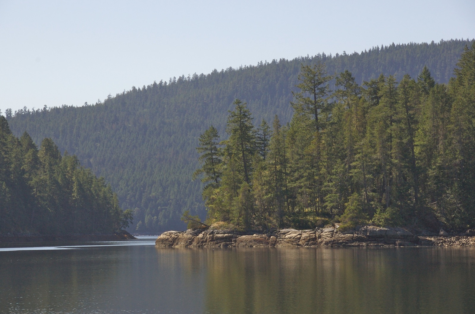 Photo: A.Davey (Wikimedia Commons) · CC BY 2.0
Arrive 12:30 pm
A nearly landlocked, forest-ringed bay on Malaspina Inlet, one of the best-sheltered anchorages in the park. Be ready to stern-tie; shore pins are fitted. A charted rock sits in the innermost bay, so set your anchor on the far side of it. A trail leads up to a small lake for a freshwater swim.
- 3:00 pmSwim in the lakeFollow the trail from the head of the bay.
7 NM · about 1 h 10 mto Prideaux Haven (Desolation Sound Marine Park)
DAY 3 · Prideaux Haven (Desolation Sound Marine Park)
Arrive 12:00 pm
The best-known anchorage in Desolation Sound: a cluster of basins behind Eveleigh Island, with granite shores and mountain views. It is a federal sewage no-discharge area, and stern-tying is the norm in summer. A drying reef joins Eveleigh to the mainland, so enter at the east end of Eveleigh Island and favour that side. It is packed in July and August.
- 3:00 pmExplore by dinghyRow or paddle between the basins; campfires are banned in the park.
8 NM · about 1 h 20 mto Teakerne Arm and Cassel Lake Falls (West Redonda Island)
DAY 4 · Teakerne Arm and Cassel Lake Falls (West Redonda Island)
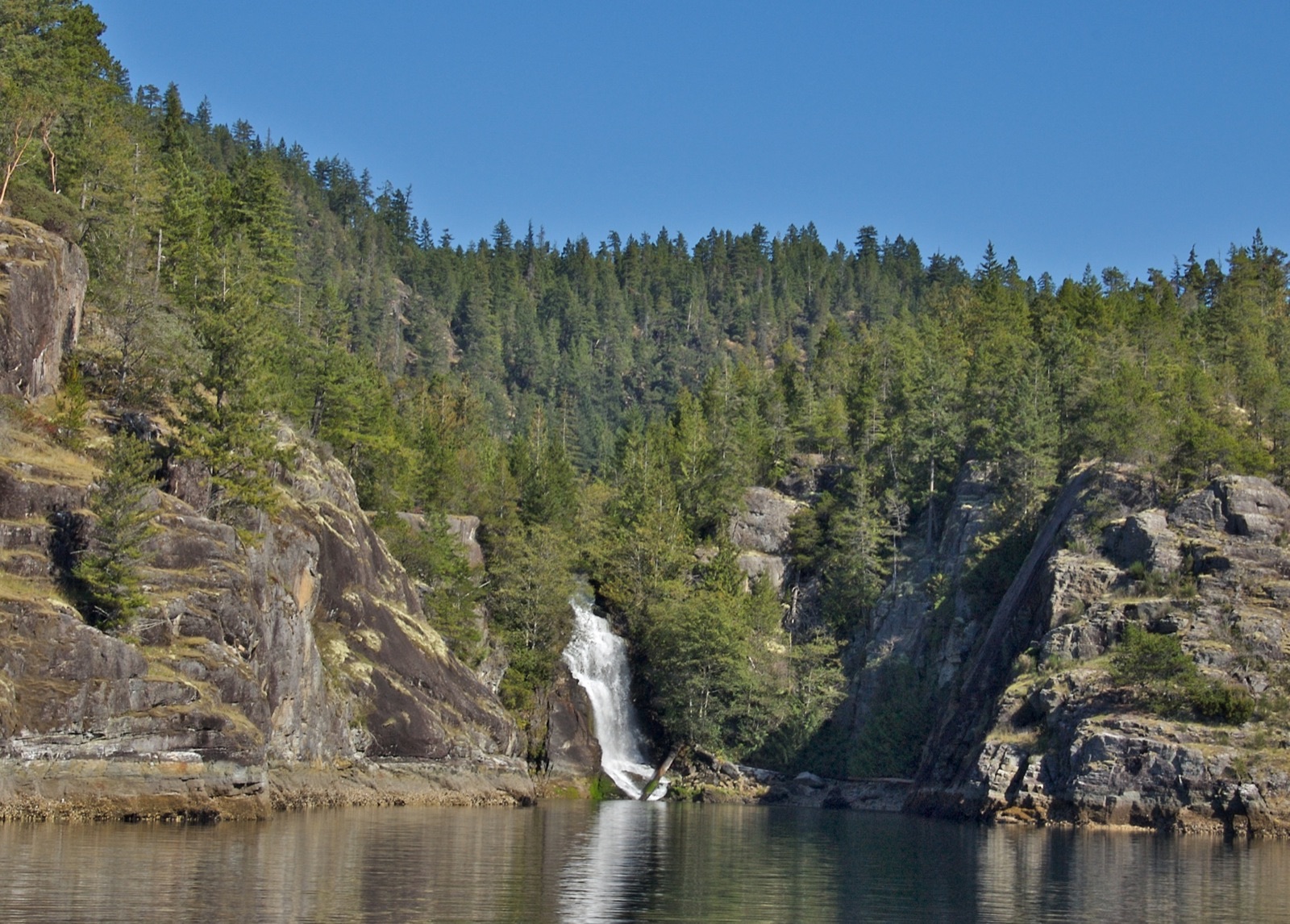 Photo: A.Davey (Wikimedia Commons) · CC BY 2.0
Arrive 1:00 pm
A deep, steep-sided inlet where Cassel Lake spills over a granite lip into the sea as a waterfall. The water is very deep off the falls, so you must stern-tie to the rings in the rock. A dinghy float and a short steep trail lead up to the lake for a warm swim. Use it only in settled weather.
- 3:00 pmWalk to Cassel LakeA short, steep trail leads from the dinghy float up to the lake.
5 NM · about 50 mto Refuge Cove Marina (West Redonda Island)
DAY 5 · Refuge Cove Marina (West Redonda Island)
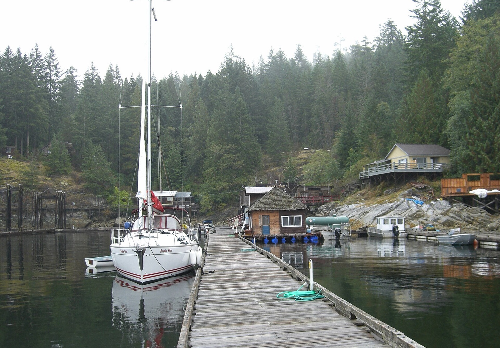 Photo: KenWalker (Wikimedia Commons) · CC BY-SA 3.0
Arrive 10:30 am · leave 11:30 am
A tiny settlement and the main summer supply stop in Desolation Sound, with fuel, water and a general store on the floats. It is busiest from about 11 am to 3 pm, so come early morning or late afternoon. Services run roughly June to September; 2026 dates are unconfirmed, so call ahead.
- 10:45 amFuel and provisionsTop up with fuel, water and groceries at the store.
3.5 NM · about 35 mto Squirrel Cove Inner Anchorage (Cortes Island)
Squirrel Cove Inner Anchorage (Cortes Island)
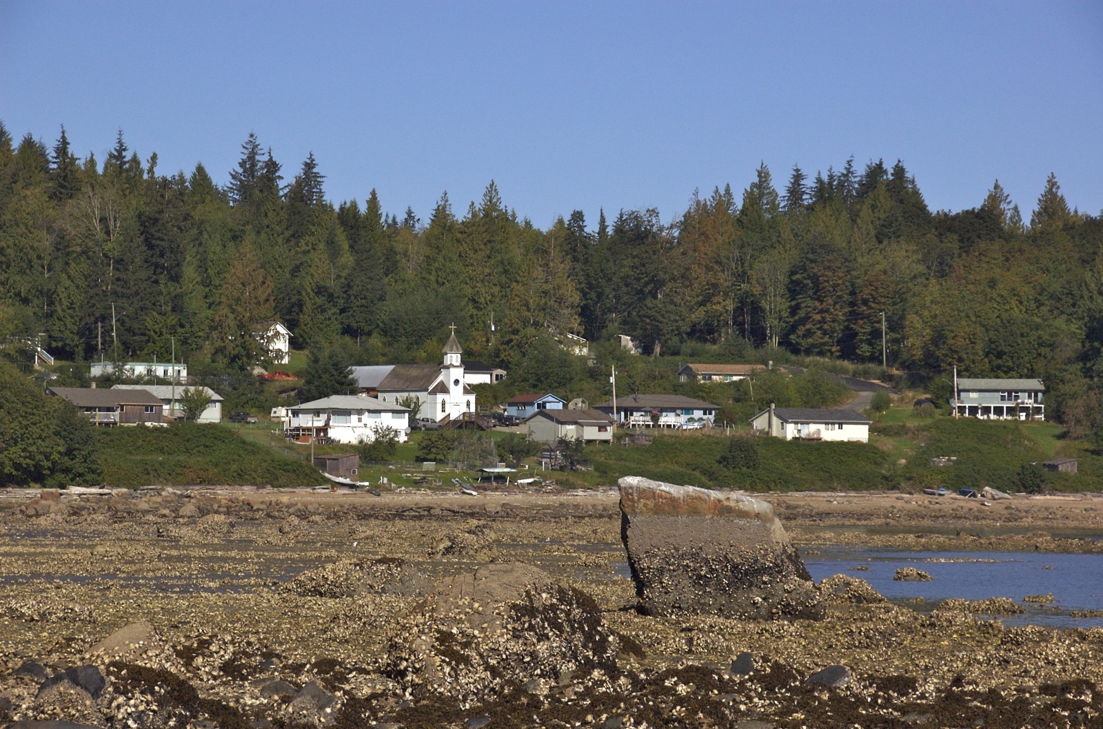 Photo: A.Davey (Wikimedia Commons) · CC BY 2.0
Arrive 2:00 pm
A large, nearly enclosed basin on the east side of Cortes, one of the most reliable all-weather anchorages in the area. It is a federal sewage no-discharge area. Old log booming left sunken logs on the bottom, so use a trip line. A reversing rapid at its head leads to a lagoon that is fun to explore by dinghy near high slack.
- 4:00 pmDinghy to the lagoonGo near high slack and plan the way back; the rapid runs in on the flood and out on the ebb.
12.5 NM · about 2 h 5 mto Lund Harbour (Malaspina Peninsula)
DAY 6 · Lund Harbour (Malaspina Peninsula)
Photo: Hameltion (Wikimedia Commons) · CC BY-SA 4.0Arrive 2:00 pm
Back to Lund for fuel, a pump out and a night on the public dock before the last crossing. Call VHF 73 on approach. Lund is the best place to rest and check the Strait of Georgia forecast before the crossing back to Comox.
22.5 NM · about 3 h 45 mto Comox Valley Harbour Authority Marina (Comox)
DAY 7 · Comox Valley Harbour Authority Marina (Comox)
Arrive 2:00 pm
Cross the Strait of Georgia back to Comox, checking the forecast and the Whiskey Golf notices before you leave. Follow the navigation aids around Goose Spit into the harbour and leave time to fuel and clean the boat before check-in.
Comments
No comments yet