 CC0, Flickr via Wikimedia Commons
Anchorage· Bahías de Huatulco· Mexico
Bahía Chachacual Anchorage (Huatulco)
15° 42.6′ N · 96° 12.1′ W
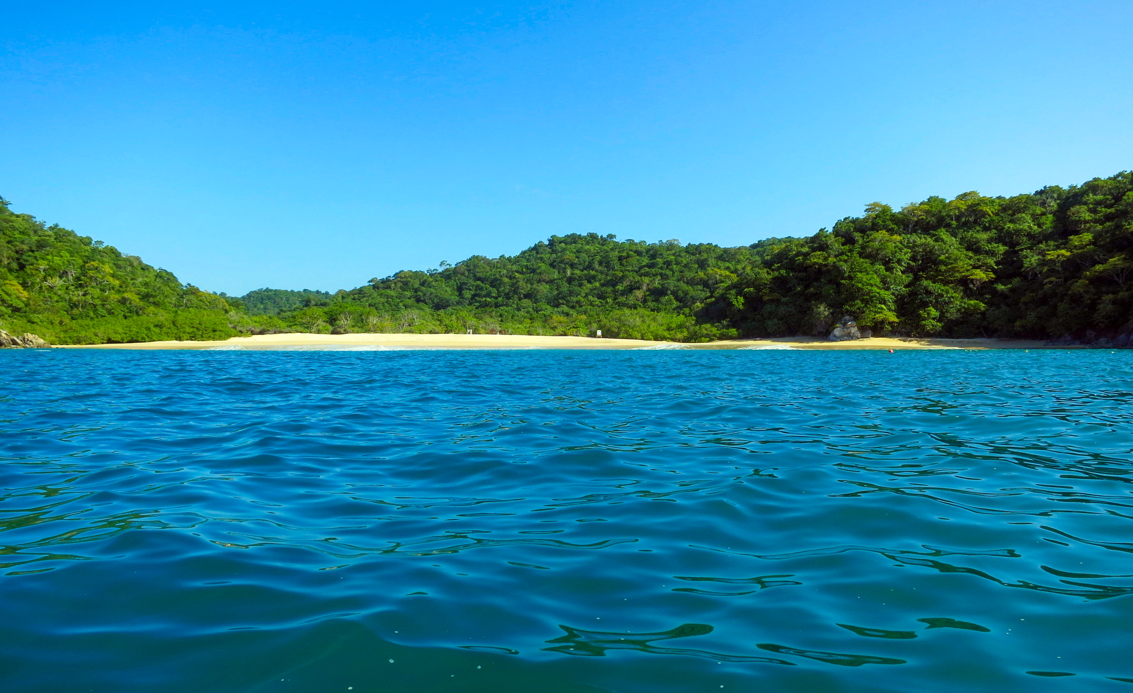
An undeveloped national-park bay reachable only by sea, with two wild beaches (Chachacual and La India), turtle nests in the dunes and reef snorkeling: many cruisers' favorite of the Huatulco bays and the usual staging anchorage for the Tehuantepec crossing.
Practical
Logged anchor position 15°42.637'N 96°12.142'W (S/V Some Tuesday, Feb 2026); Ocean Posse logged approach points near 15°42.3'N 96°11.96'W and 15°42.62'N 96°11.88'W and anchored in about 18 ft on sand (Dec 2017). The inner part is narrow: two boats needed stern anchors to fit. Very calm in settled weather, though one crew noted strong currents off Playa Chachacual (Jan 2025). Tour boats and pangas crowd the beaches midday; they leave by late afternoon. National park: no fishing or collecting, no anchoring on coral, no walking on turtle nests. No services; La Crucecita is a taxi ride from the highway. 22 nm (about 4 hours) from Mazunte; boats bound for Chiapas often leave from here around midnight to use a weather window.
Best for
The best wild anchorage in Huatulco and the T-pec staging point
Season
Nov-May; watch for Tehuano gusts
Nearby
- La India Cove (Chachacual)0.3 NM away
- Huatulco National Park0.5 NM away
- Jicaral Cove (Osprey Cove), Huatulco1.1 NM away
- Riscalillo Anchorage (Huatulco)1.6 NM away
- Isla La Blanca Dive Site (San Agustín)1.7 NM away
- Bahía San Agustín (Huatulco)2.3 NM away
- Isla San Agustín East Reef2.3 NM away
- Isla Cacaluta 'La Jeringa' Dive Site2.4 NM away