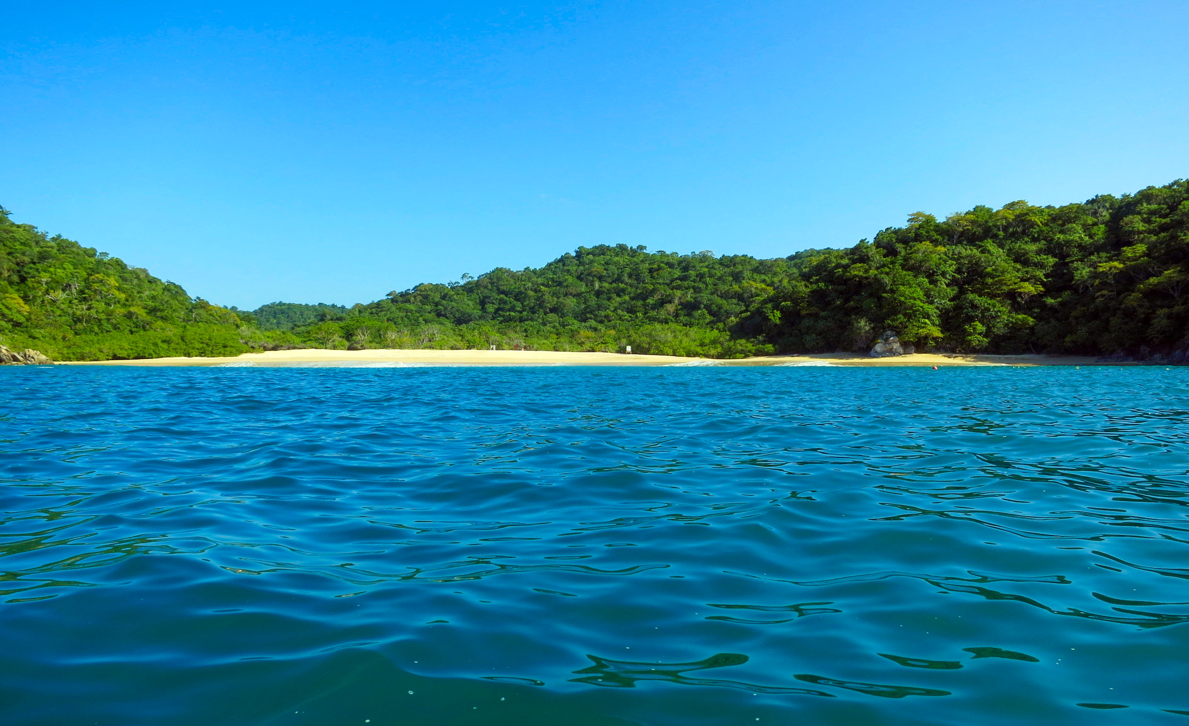
 CC0, Flickr via Wikimedia Commons
Permit· Bahías de Huatulco· Mexico
Huatulco National Park
15° 42.8′ N · 96° 11.7′ W
A federal national park (decreed July 24, 1998, managed by CONANP) covering 11,891 ha, 5,516 of them marine, and five of the nine Bays of Huatulco: San Agustín, Chachacual, Cacaluta, Maguey and Órgano. Its coral reefs are considered among the best preserved on the Mexican Pacific.
Practical
Coordinates from Wikipedia. The marine boundary runs from Punta Sacrificios in the west to Punta Violín in the east and about 2 nm out to sea. Also a Ramsar wetland (site 1321) and part of a UNESCO biosphere reserve (2006). Twelve coral species and 121 reef and demersal fish species. Protect the coral: anchor only in sand, use buoys where provided, no fishing, spearfishing or collecting, keep off turtle-nesting dunes. No settlements inside the park. Park fees for private yachts were not verified for this edition: ask CONANP or the Port Captain in Santa Cruz.
Best for
Understanding the rules before anchoring in the Huatulco bays
Nearby
- La India Cove (Chachacual)0.4 NM away
- Bahía Chachacual Anchorage (Huatulco)0.5 NM away
- Jicaral Cove (Osprey Cove), Huatulco1.6 NM away
- Isla Cacaluta 'La Jeringa' Dive Site1.9 NM away
- Bahía Cacaluta2 NM away
- Isla La Blanca Dive Site (San Agustín)2.1 NM away
- Riscalillo Anchorage (Huatulco)2.1 NM away
- Bahía San Agustín (Huatulco)2.7 NM away