 CC BY-SA 3.0, Kevin Gabbert, via Wikimedia Commons
Hike· St Vincent· Windward Islands
La Soufrière Volcano Hike
13° 19.0′ N · 61° 9.2′ W
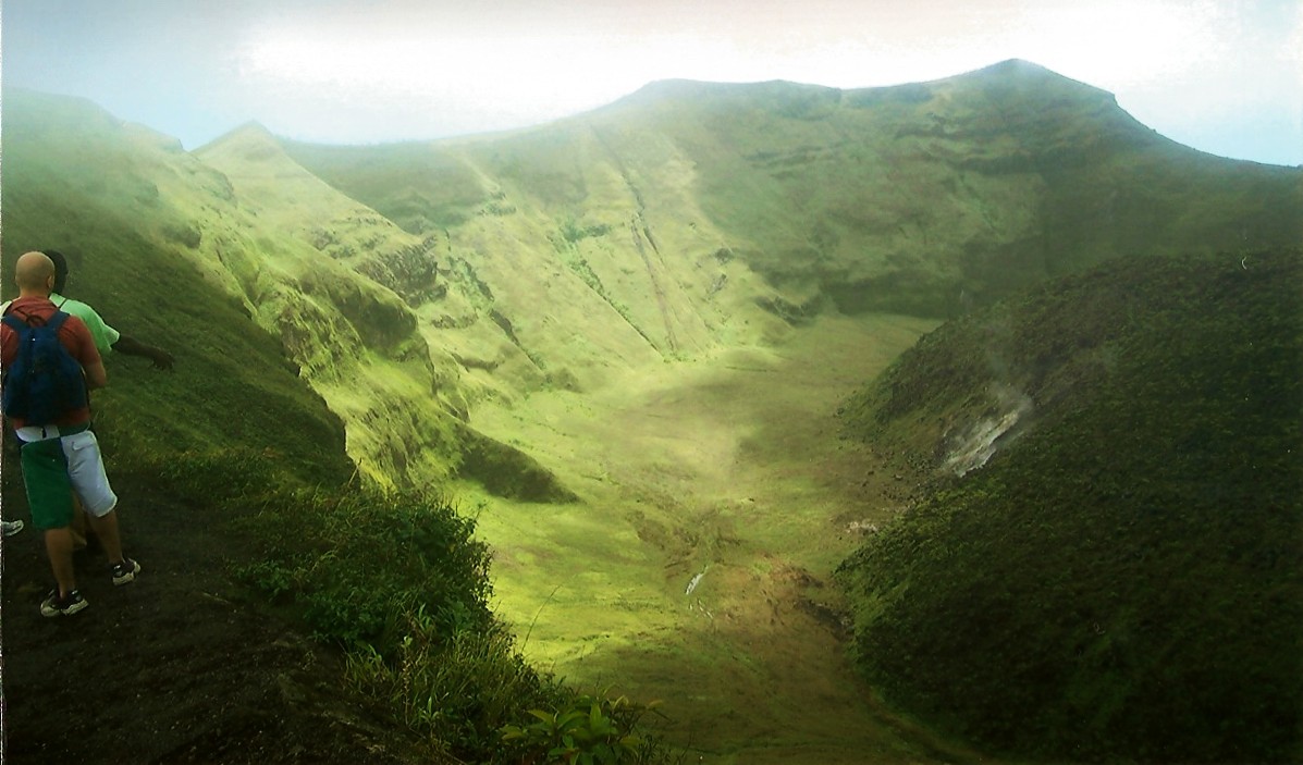
The climb up St Vincent's active volcano, the island's highest peak at about 4,050 ft, through farmland, rainforest and montane forest to a bare, windswept crater rim.
Practical
Position is the windward (east-side) trailhead car park on OpenStreetMap. Doyle: the windward trail is the usual route; it is often in cloud, so bring a rain jacket and lunch, and stay back from the unfenced crater edge, which drops about 1,000 ft, especially in wind. The leeward (west) approach from the Chateaubelair side is longer, about four hours each way; a reliable guide is essential, and Doyle cites serious robberies on the western approach. Access status: after the April 2021 explosive eruption, SVG Tourism said hiking was discouraged until further notice, while Wikivoyage reports guided summit tours in 2025 (Detention Tours, +1 784 432 2130: US$150 for one or US$200 for two). Check the current status with the UWI Seismic Research Centre (uwiseismic.com) and the local authorities before going.
Best for
A big full-day hike for fit crews
Season
Dry season (Dec-May) for the best chance of a view