Anchorage· Koh Hong (Phang Nga)· Thailand
Koh Hong Anchorage B (Phang Nga, lagoon cave)
8° 13.2′ N · 98° 30.0′ E
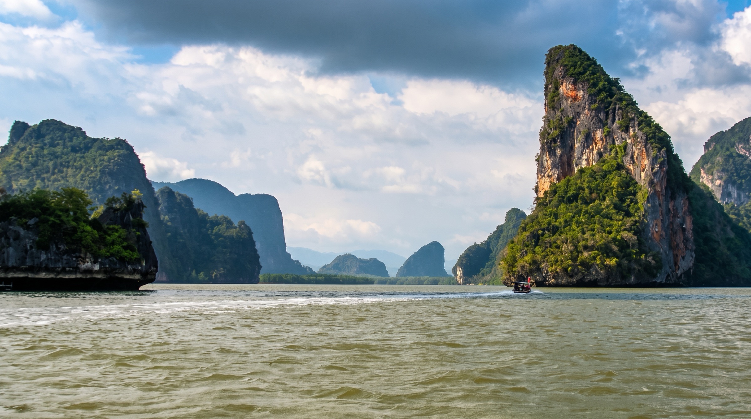
A shallow mud anchorage just south of Koh Hong, right outside the small cave that opens into the island's lagoon, so the hong is a short paddle from the boat.
Practical
Southeast Asia Pilot waypoint 08°13.162N 98°30.035E. 4–5 m, mud. Very busy with tour boats and canoe operators during the day. Currents run hard around the island on spring tides. Rangers have buoyed a rope around the island, and dinghies are not allowed in the main cave. Ao Phang Nga National Park fee is collected in cash by rangers who come to the boat: Southeast Asia Pilot quotes 400 THB per person per day (undated, verify locally); a cruising yacht in January 2025 paid 300 THB per person on a receipt valid five days.
Best for
Closest anchorage to the lagoon entrance; paddle in early or late
Itineraries that stop here
Nearby
- Hong by Starlight Evening Sea-Canoe Trip0.1 NM away
- Koh Hong Lagoon (Phang Nga)0.1 NM away
- Mangrove Sea-Canoe Routes (John Gray's Sea Canoe)0.1 NM away
- Koh Hong Anchorage A (Phang Nga)0.4 NM away
- Koh Yai Ranger Station (Koh Hong group)0.4 NM away
- Koh Na Khae (Koh Hong group)0.9 NM away
- Koh Phanak East Bay Anchorage2 NM away
- Koh Phanak Northwest Bay Anchorage2.1 NM away
Place data includes © OpenStreetMap contributors (ODbL).