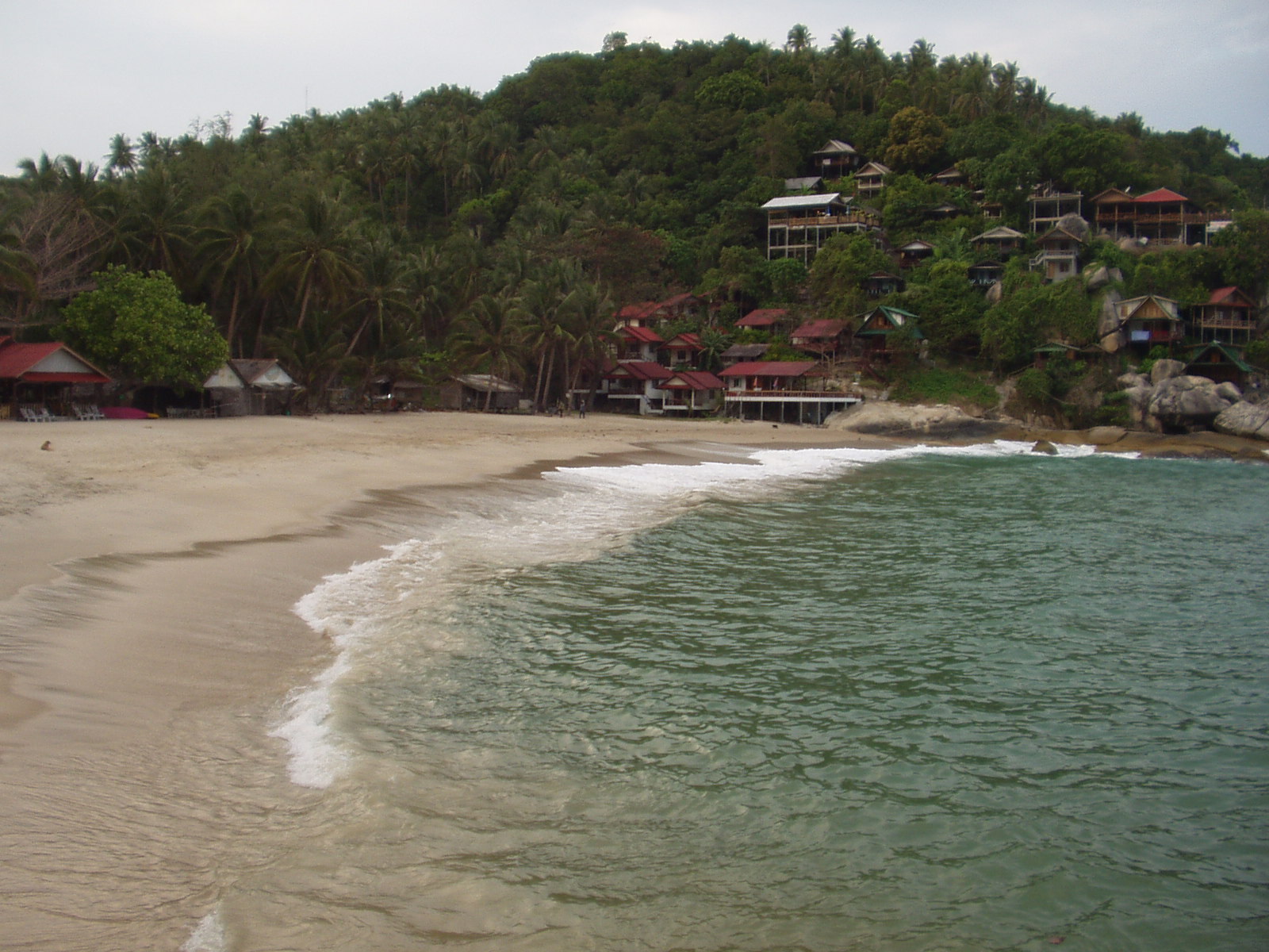
 CC BY-SA 3.0, Wikimedia Commons
Anchorage· Koh Phangan· Thailand
Haad Nam Tok (Than Sadet) Anchorage
9° 44.9′ N · 100° 4.7′ E
A wild east-coast bay where the royal Than Sadet river spills over boulders onto the beach, with a handful of bungalows, a couple of restaurants and freshwater pools behind the sand.
Practical
Southeast Asia Pilot waypoint 09°44.900N 100°04.652E (anchorage C), about 9 nm from Haad Rin Nai. Anchor well offshore in the middle of the bay in 8 m, sand. Water is piped to the beach through a two-inch pipe and can be had for jerry cans for a nominal fee (SE Asia Pilot, undated, verify locally). Several small restaurants. East-facing: a SW-monsoon and settled-weather anchorage, exposed to the NE monsoon. Follow the creek inland from the beach to the waterfall and the royal inscriptions.
Best for
Fresh water, a river swim and royal history in the SW monsoon
Season
Mar–Oct and settled weather; exposed to NE monsoon
Nearby
- Than Sadet Royal Waterfall0.4 NM away
- Thong Nai Pan Bars (Flip Flop, Nu Bar, I Sea Bar)1.6 NM away
- Thong Nai Pan Yai Anchorage1.6 NM away
- Thong Nai Pan Yai Restaurants (Chai Ya, Memory Bar, Fat Cat's)1.7 NM away
- Thong Nai Pan Noi Anchorage2 NM away
- Than Prawet Waterfall2.2 NM away
- Thong Nai Pan Noi Restaurants (Rasta Baby, Luna, That's Amore)2.3 NM away
- Koh Phangan Rainy Season (Oct–Dec)2.9 NM away