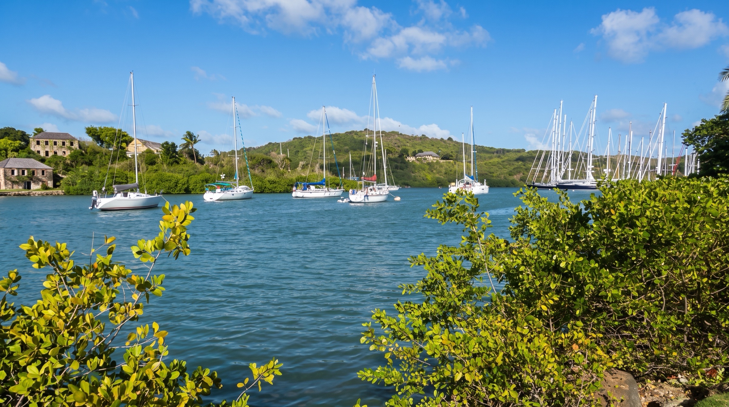
CC BY-SA 4.0, CROIX, Wikimedia Commons
Anchorage· Barbuda· Leeward Islands
Cocoa Point Anchorage
17° 33.0′ N · 61° 46.3′ W · approximate
Barbuda's signature anchorage: turquoise water over white sand in the lee of Coco Point, off the miles-long Princess Diana Beach. Turtles come and go under the boat, and the beach is usually all but empty.
Practical
Coordinate approx: placed about 600 m west of the Princess Diana Beach shoreline (OpenStreetMap coastline, Wikipedia beach position N17 33.16 W061 46.07), between it and Doyle's approach waypoint LBAU03 (N17 33.0 W061 46.9); check your plotter. Sand with very good holding (Noonsite 2019; noforeignland). Approach only in good overhead light, taking care until you see a clear path through the reef. The pass is at an angle and can be tricky. According to the Antigua & Barbuda Marine Guide a 7-8 ft draft can come quite close to shore. The spot west of the point is good when the swell is down but tends to roll in any swell from the south or west. Charts of Barbuda's south coast are reported as unreliable because of coral growth. Seaplanes have landed directly off the beach (2019). The beach is public up to the high-water line. Much of the land behind it is the Barbuda Ocean Club development: stay on the foreshore and away from buildings, as security has hassled some walkers. Shak-A-Kai (lobster) and Nobu Barbuda are on the beach. A taxi to Codrington cost about US$80 return in 2019 (verify locally). No fuel or water.
Best for
Long, empty beach days, turtles and lobster dinners ashore
Season
Nov-Jun in normal trades; rolly in S or W swell; untenable in a southerly blow