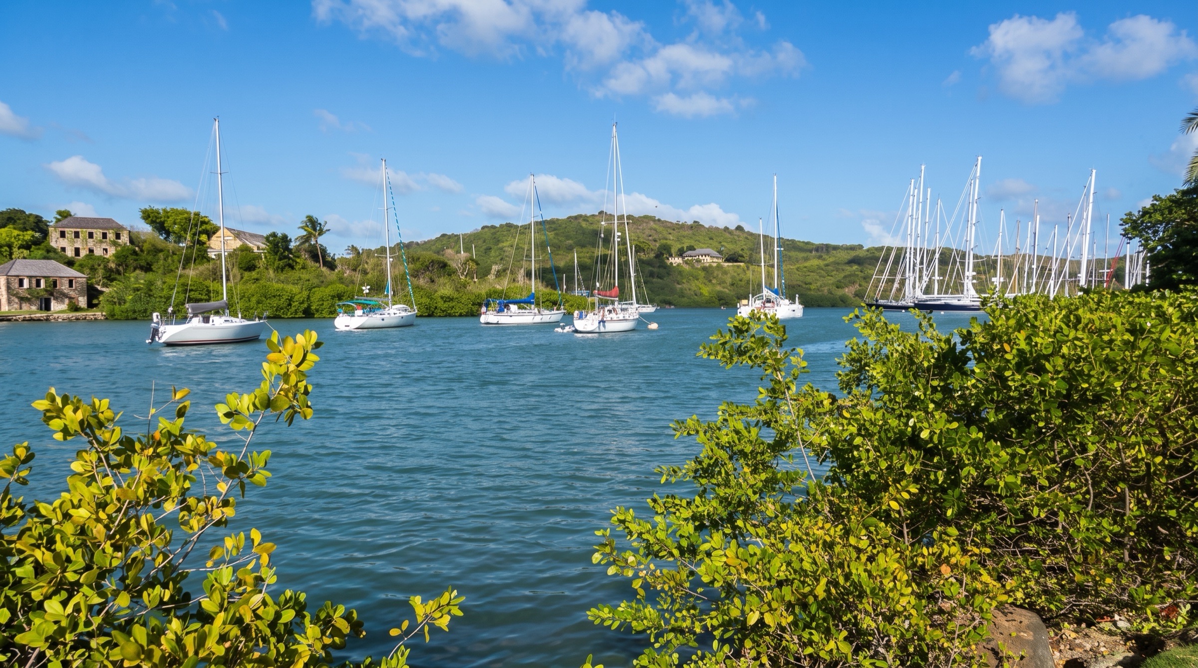
CC BY-SA 4.0, CROIX, Wikimedia Commons
Anchorage· Barbuda· Leeward Islands
Spanish Point Anchorage
17° 32.7′ N · 61° 44.3′ W · approximate
An anchorage tucked behind the reef at Barbuda's south-east tip, with very clear water, good reef snorkelling and wrecks nearby. It feels more remote than anywhere else on the island.
Practical
Coordinate approx: placed about 300 m north-west of the tip of Spanish Point (OpenStreetMap coastline; Wikipedia gives the point as N17 32.7 W061 44.0), inside the reef; Doyle's entry waypoint is LBAU02 (N17 32.1 W061 43.5). The Marine Guide calls it an excellent anchorage, 1.75 mi east of Coco Point. Approach only in good light. 12 ft can be carried fairly close in shore inside the reef by the point. Once it starts to shelve, ease north-eastward and anchor where your draft permits. There are two recommended approaches. (1) Pass windward of Palaster Reef toward Spanish Point until you see the breakers on the reef to the south, then bear off behind the reef and round up. (2) Come in from the west between Palaster Reef and the shore until the point bears south-east. Depths about 2-3 m with strong holding, and calm even when it is windy (noforeignland). The water is not well charted: one 2024 crew felt uncomfortable in the shallows and left, and another skipper reports that the Blue Halo anchoring zone at White Bay, west of the point, is so close to shore that only small catamarans fit. Lobster pots are numerous on this side. It is a long taxi or bike ride to the village. Beach barbecues are popular, and it is worth walking round the point to the windswept east coast.
Best for
Remote reef anchorage, snorkelling and beach barbecues
Season
Settled trade-wind weather with good overhead light