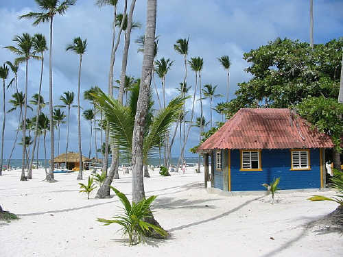
 CC BY-SA 2.5, Wikimedia Commons
Beach· Punta Cana / Cap Cana· Other Caribbean
Punta Cana / Bávaro Beaches
18° 43.0′ N · 68° 27.0′ W
'Punta Cana' is really a 30-mile (50 km) run of white sand and turquoise water along the DR's east coast. It is the country's resort heartland, where tourism took off when Club Med Punta Cana opened in 1978.
Practical
Coordinates for Bávaro from Wikipedia. The coast between Punta Cana and Samaná is a reef-strewn lee shore (Virgintino guide): there are no protected anchorages along the hotel strip, so visit by land from Cap Cana Marina. Many beach clubs, kitesurfing and dive operators.
Best for
Resort beaches and crew flights via Punta Cana airport
Nearby
- Punta Macao Anchorage6 NM away
- Punta Cana Marina (reef entrance)12.4 NM away
- Cap Cana Billfish Tournaments13.7 NM away
- Cap Cana Marina14.1 NM away
- Boca de Yuma Anchorage24.9 NM away
- Sunix Bayahibe Fuel Station29.7 NM away
- Parque Nacional del Este (Cotubanamá National Park)29.9 NM away
- Bayahibe Village Colmado & Pharmacy30.5 NM away