 CC BY-SA 3.0, Wikimedia Commons
View· Puerto Real· Other Caribbean
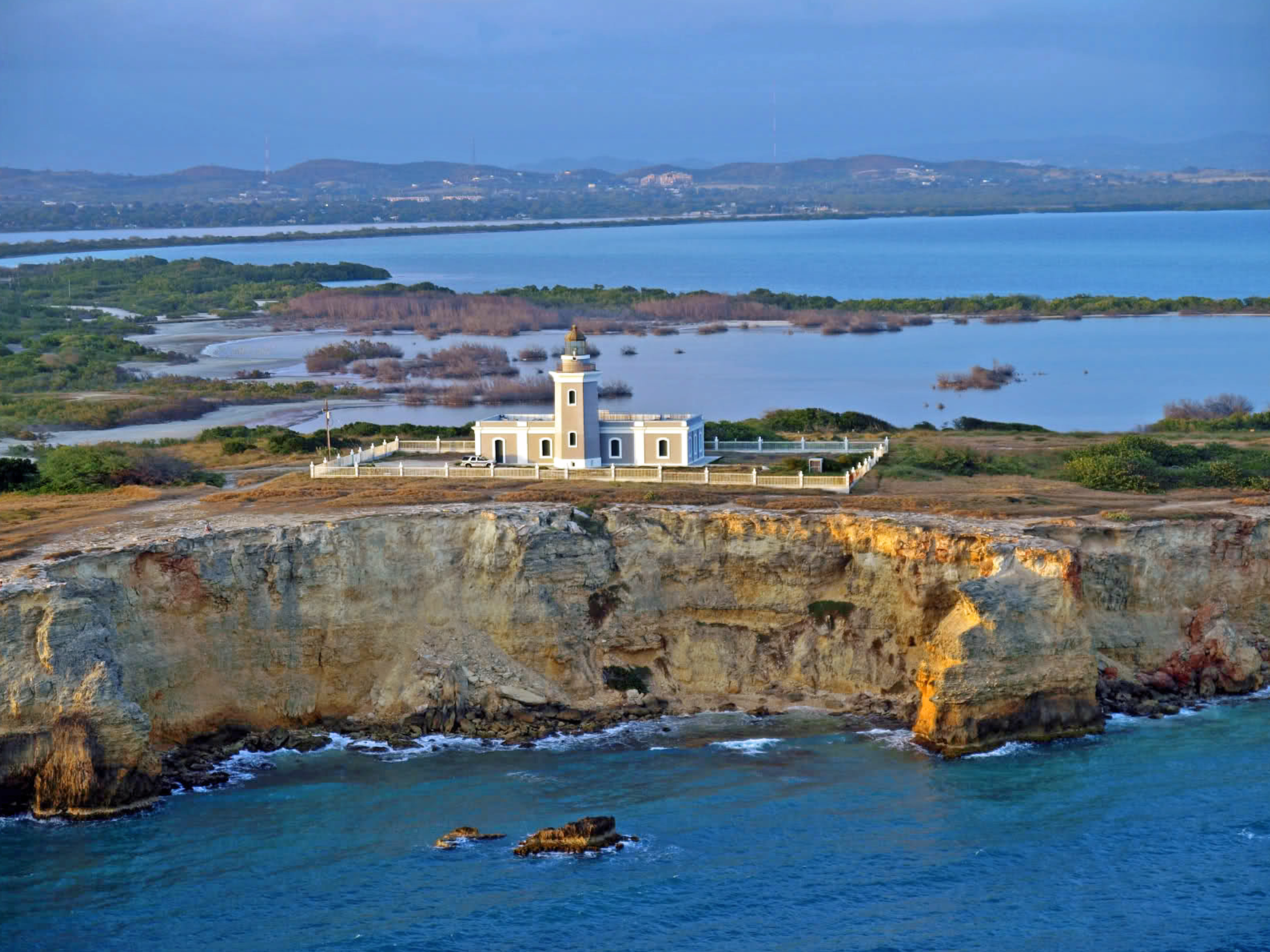
Cabo Rojo Lighthouse (Los Morrillos)
17° 56.0′ N · 67° 11.5′ W
The 1882 Spanish lighthouse on white limestone cliffs that drop more than 200 ft at Puerto Rico's southwest tip, looking down on salt-flat lagoons, the Caribbean and the Mona Passage approach.
Practical
Coordinates from Wikipedia. Automated since 1967. By road from Boquerón via the Cabo Rojo salt flats (Cabo Rojo National Wildlife Refuge, whose Fraternidad 'Pink Lagoon' backs Bahía Sucia). Walk out at sunset; stay back from the cliff edges. From seaward the cape accelerates the trades: see the Cabo Rojo rounding passage.
Best for
Cliff-top views and sunsets at the island's SW corner
Nearby
- Playa Sucia (La Playuela)0.2 NM away
- Cabo Rojo National Wildlife Refuge & Salt Flats3.1 NM away
- Balneario de Boquerón3.9 NM away
- Boquerón Bay Anchorage5.5 NM away
- Boquerón Village & Club Náutico de Boquerón5.6 NM away
- Puerto Real (Cabo Rojo)8.5 NM away
- Fiestas de la Candelaria (La Parguera)8.6 NM away
- Magueyes Island Tide Station (NOAA 9759110)8.6 NM away