Landmark· Port Snettisham· Alaska Southeast — Juneau, Endicott Arm & Icy Strait
Port Snettisham (Stephens Passage)
57° 57.5′ N · 133° 52.0′ W
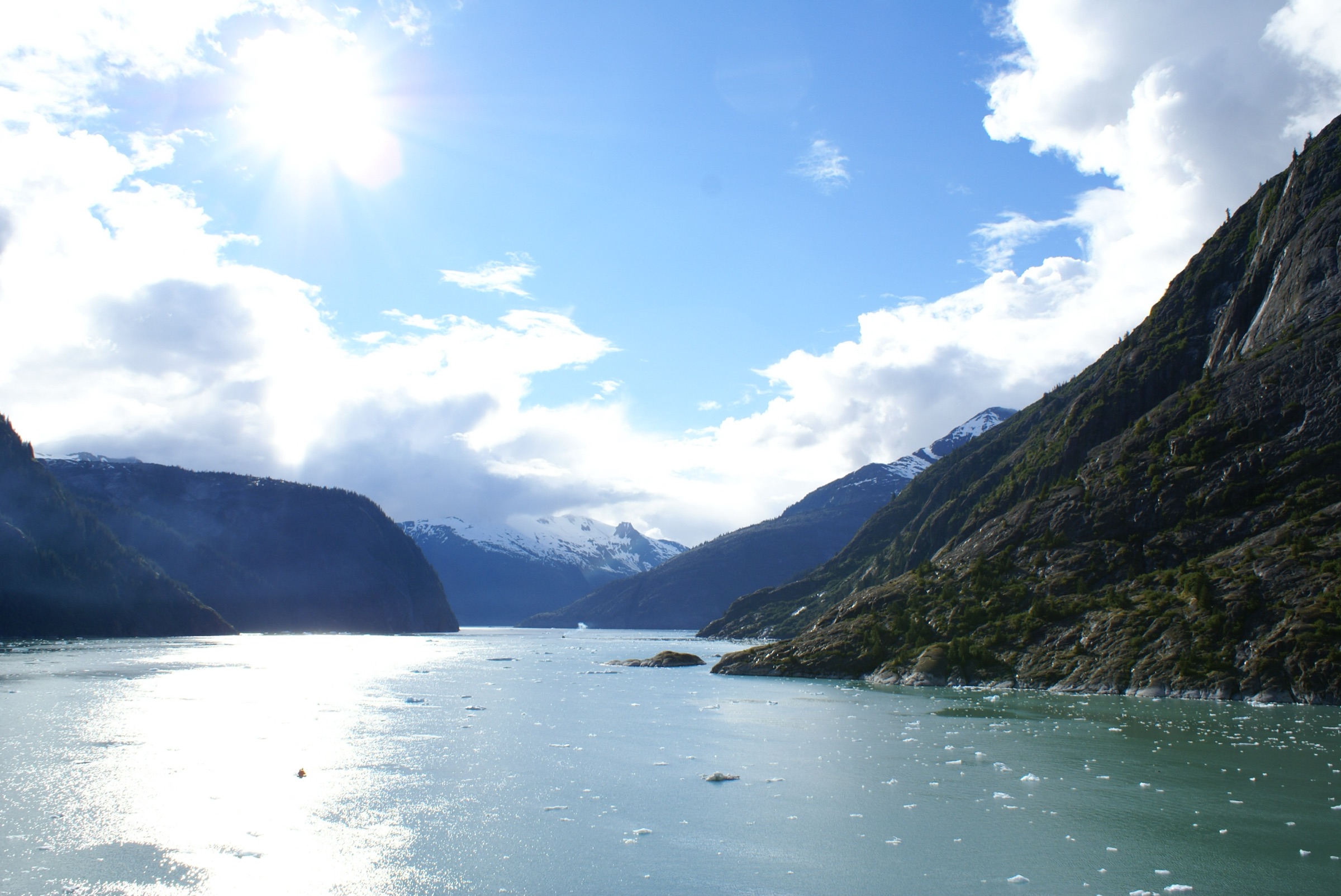
Port Snettisham is a steep-walled fjord on the mainland shore of Stephens Passage, with three branches and a hydroelectric site on Speel Arm. It is a scenic side trip south of Taku Harbor, not a developed stop.
Practical
Coordinate is the USGS place-name (GNIS) position for the bay, via OSM. Mountains rise abruptly from the shore to roughly 4,000-6,000 ft (Wikipedia). Speel Arm, a branch, extends north-east about 9 miles to the Speel River and holds a hydroelectric plant fed by Crater and Long lakes. Anchorage depths, holding and shelter are unconfirmed; SailSpo found no reliable guidance, so treat this as a reconnaissance stop and check current charts. Whether you may land at the power station is unconfirmed.
Best for
Fjord scenery in a quiet corner of Stephens Passage
Season
Summer
Itineraries that stop here
Nearby
- Taku Harbor Cannery Ruins8.1 NM away
- Taku Harbor Public Dock (Taku Harbor State Marine Park)8.1 NM away
- Williams Cove (Holkham Bay)9.8 NM away
- Tracy Arm Cove (Holkham Bay)10.4 NM away
- Pack Creek Bear Viewing Area (Admiralty Island)14.1 NM away
- Holkham Bay (Tracy Arm and Endicott Arm Entrance)14.9 NM away
- Lower Tracy Arm15.1 NM away
- Sawyer Glaciers (Head of Tracy Arm)21.2 NM away
Place data includes © OpenStreetMap contributors (ODbL).