Marina· Taku Harbor (Stephens Passage)· Alaska Southeast — Juneau, Endicott Arm & Icy Strait
Taku Harbor Public Dock (Taku Harbor State Marine Park)
58° 4.1′ N · 134° 0.8′ W
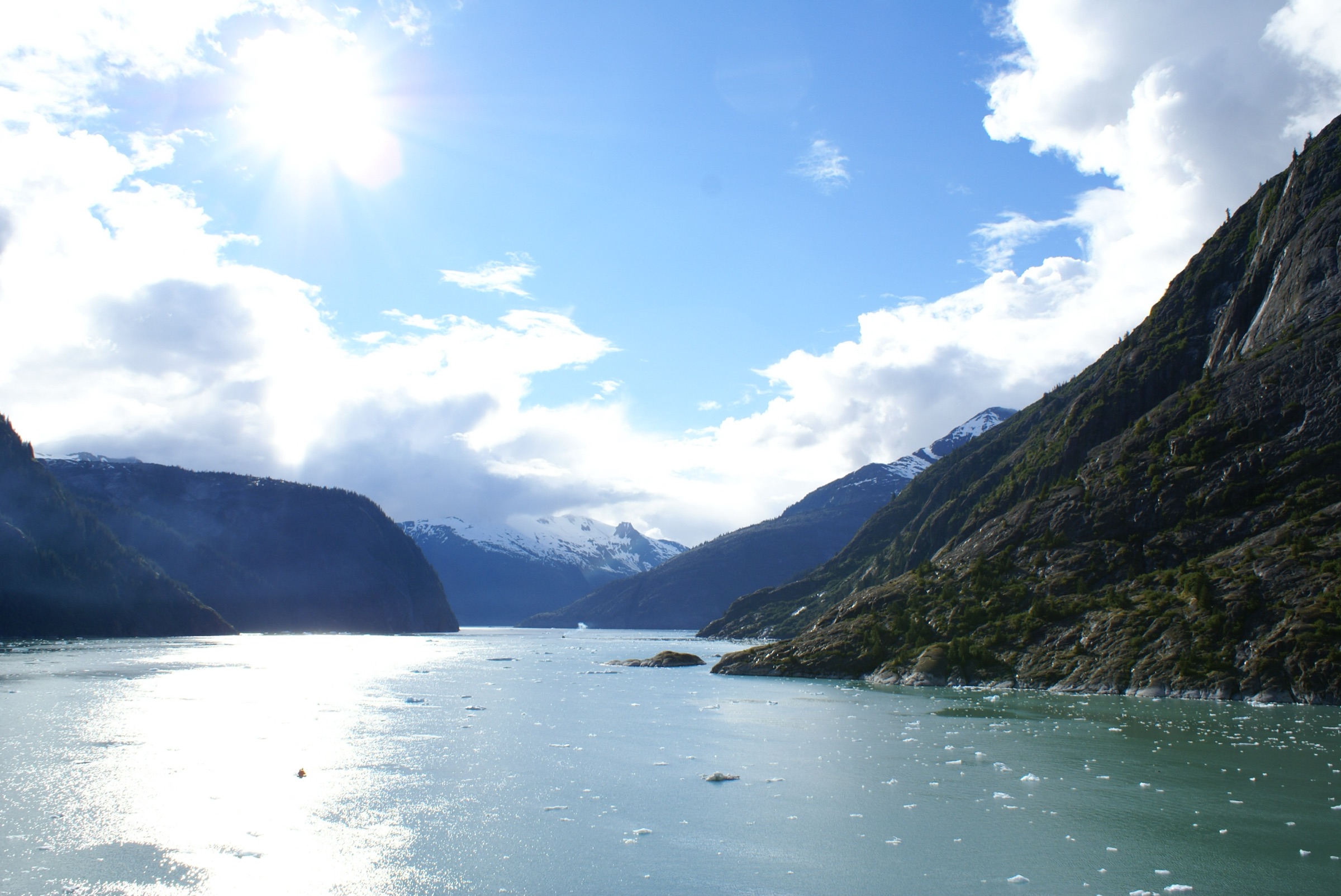
Taku Harbor is a sheltered, bowl-shaped bay on the eastern shore of Stephens Passage, with no road access, and is the classic first night south of Juneau. A public dock built by ADF&G Sport Fish and maintained by CBJ Docks and Harbors serves fishing boats, small tour ships and recreational boaters. Nearly all of the harbor is Taku Harbor State Marine Park.
Practical
Coordinate is the OSM Taku Harbor Floats. DNR puts the harbor about 22 miles south-east of central Juneau. The park is undeveloped (about 700 acres) with a DNR Tiger Olson public-use cabin; there are no services ashore. Float length, power, water, fees and room for anchoring inside the harbor are unconfirmed; DNR says it is often used as a night anchorage by commercial boats. CBJ notices (undated) mention dock improvements and a closed cabin approach dock during construction; current status unconfirmed. Rusting metal and old piles around the cannery site are a hazard ashore. Follow bear etiquette from ADF&G: keep food in a bear-resistant container, cook well away from where you sleep.
Best for
First night out of Juneau; fishing, crabbing and cannery ruins
Season
Summer; day-use all year
Itineraries that stop here
Nearby
- Taku Harbor Cannery RuinsRight here
- Port Snettisham (Stephens Passage)8.1 NM away
- Pack Creek Bear Viewing Area (Admiralty Island)13.3 NM away
- Douglas Harbor (Mike Pusich Douglas Harbor)17.3 NM away
- Williams Cove (Holkham Bay)17.7 NM away
- Tracy Arm Cove (Holkham Bay)18 NM away
- Harris Harbor (Juneau)19.2 NM away
- Aurora Harbor (Juneau)19.5 NM away
Place data includes © OpenStreetMap contributors (ODbL).