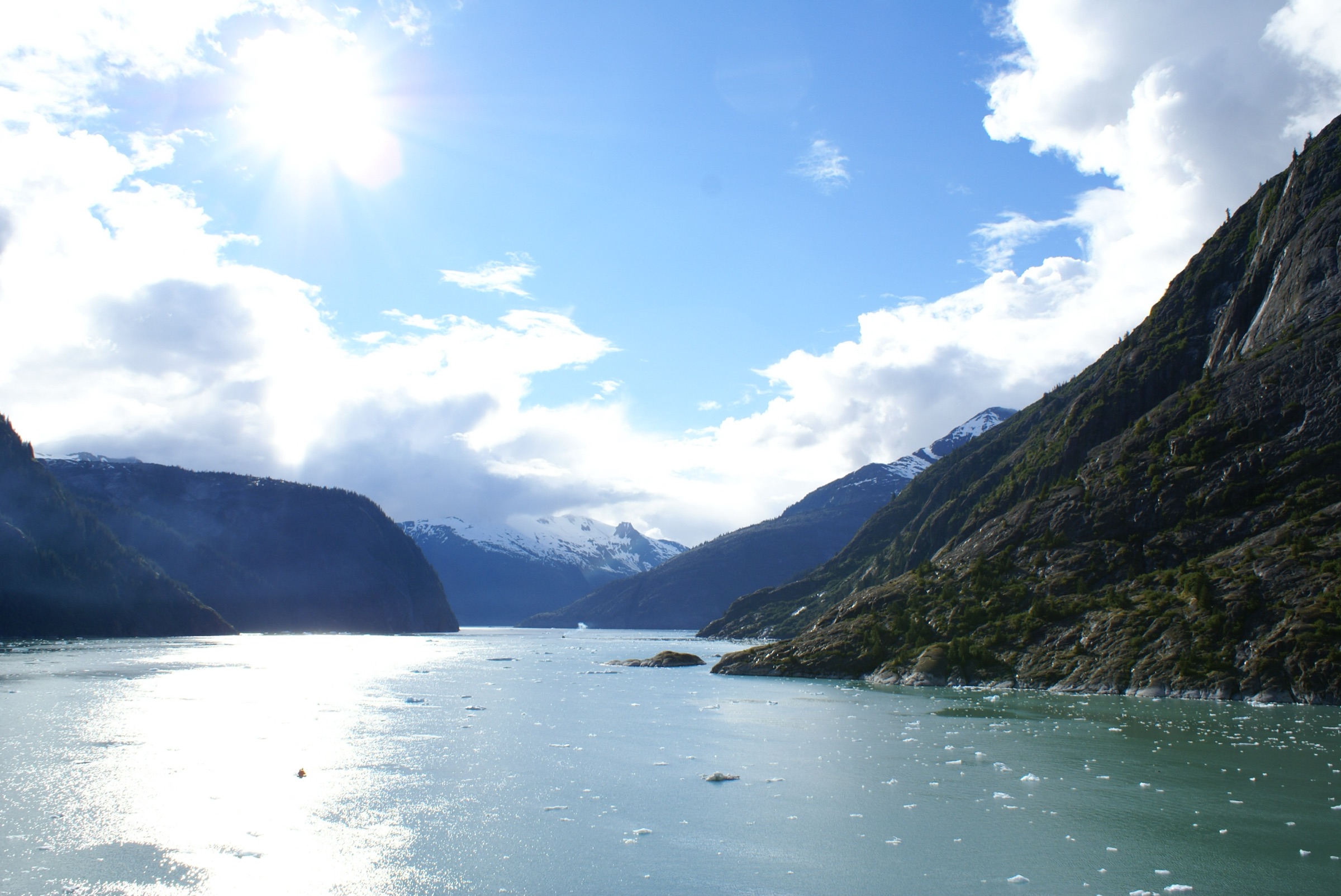
Endicott Arm & Fords Terror from Juneau
Juneau, Endicott Arm & Icy Strait
180 NM · Challenging · 7 days
♡ Not saved yet · No comments yet
ChallengingRemote fjords with drifting ice, big tides, landslide risk and no services; carry spare fuel and plan conservatively.
A seven-day power-boat loop from Auke Bay at Juneau down Stephens Passage to Taku Harbor, then up Endicott Arm to Dawes Glacier and the cliffs of Fords Terror, and back by Port Snettisham. The route avoids Tracy Arm, where a landslide and tsunami in August 2025 left an unstable slope. This is wilderness: tides run big, ice drifts in the fjords and fuel and help are far away. Auke Bay Adventures is the one confirmed Juneau bareboat source; confirm dates and requirements with them.
DAY 1 · Statter Harbor (Auke Bay)
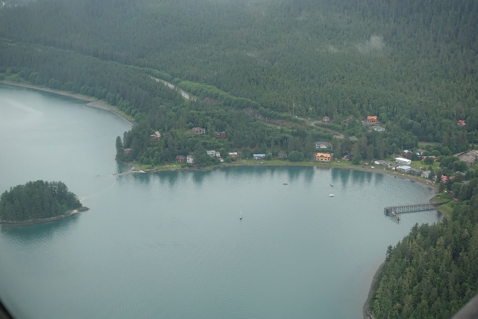 Photo: mike from New York, NY, US (Wikimedia Commons) · CC BY-SA 2.0
Leave 9:00 am
Juneau's small-boat harbor at Auke Bay, on the north side of town, and the base for the bareboat charter. Fill the tanks and the larder before you go: fuel is scarce beyond Juneau and there are no shops on this route. The Mendenhall Valley supermarkets are a short drive away.
- 7:30 amFuel and provisionTop up fuel at Statter Harbor or the nearby Delta Western dock, and buy all groceries in Juneau.
- 8:30 amCheck the weather and the hazard pictureRead the NWS marine forecast for Stephens Passage and any current notices on the Holkham Bay arms.
31.5 NM · about 5 h 15 mto Taku Harbor Public Dock (Taku Harbor State Marine Park)
Taku Harbor Public Dock (Taku Harbor State Marine Park)
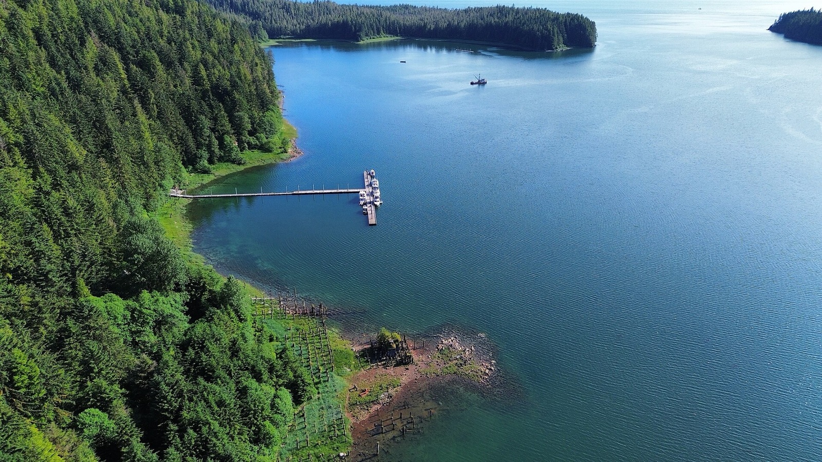 Photo: FifthStreetBikers (Wikimedia Commons) · CC BY-SA 4.0
Arrive 2:00 pm
A sheltered, bowl-shaped bay on the east side of Stephens Passage, with no road access and the classic first night south of Juneau. A public dock serves fishing boats and visitors. Float length, power, water and fees are unconfirmed, so check before you count on them. The old cannery site ashore has rusting metal, and bear etiquette applies.
- 4:00 pmWalk ashoreLook at the cannery ruins from the dock; keep food in a bear-resistant container and cook well away from where you sleep.
20.5 NM · about 3 h 25 mto Williams Cove (Holkham Bay)
DAY 2 · Williams Cove (Holkham Bay)
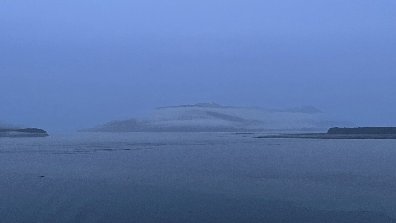 Photo: DJ Cane (Wikimedia Commons) · CC BY-SA 4.0
Arrive 1:00 pm
A small inlet in the northern part of Holkham Bay, near the mouth of Tracy Arm, where expedition ships anchor. Depth, holding and room for a small yacht are unconfirmed, so treat it as a place to look at carefully. Icebergs drift in from both arms. Do not go up Tracy Arm itself: see the note on the landslide.
- 2:30 pmLook at the iceWatch for drifting bergs from both arms before you plan the next day.
23 NM · about 3 h 50 mto Fords Terror Outer Anchorage (Endicott Arm)
DAY 3 · Fords Terror Outer Anchorage (Endicott Arm)
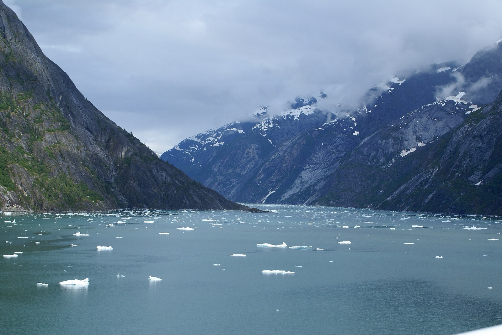 Photo: Richard Martin (Wikimedia Commons) · CC BY 2.0
Arrive 2:00 pm
The practical base for a Fords Terror visit, just outside its narrow entrance in Endicott Arm. Depth and holding are unconfirmed, and the fjord is very deep. Icebergs drift past and boats here felt the water rise after the August 2025 landslide, so keep a sound anchor watch.
- 3:30 pmPlan the Fords Terror narrowsThe entrance is safe only near slack water, and sources differ on which slack. For a charter boat the safe choice is to explore by dinghy and not take the boat through.
14.5 NM · about 2 h 25 mto Dawes Glacier (Head of Endicott Arm)
DAY 4 · Dawes Glacier (Head of Endicott Arm)
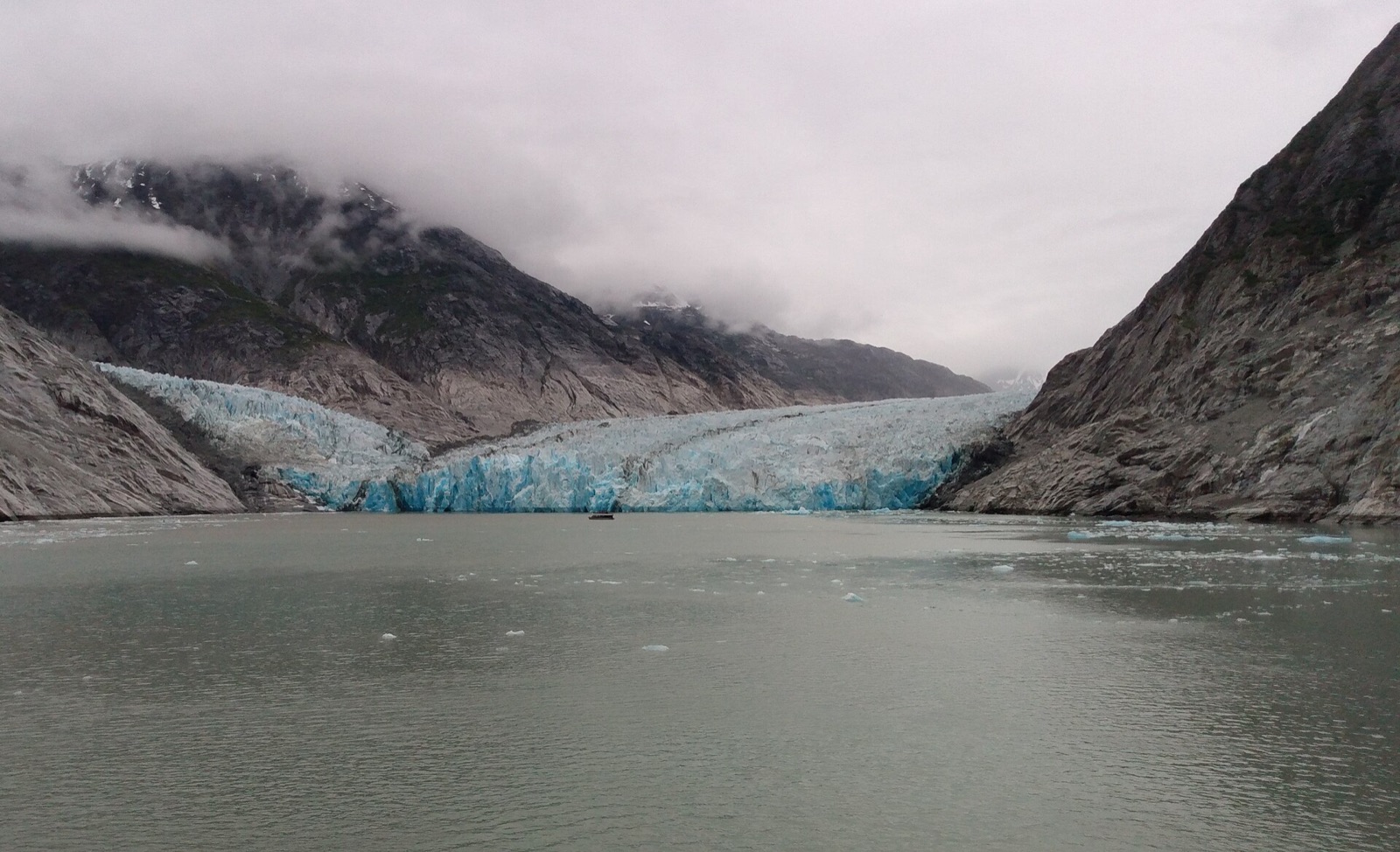 Photo: AlaskaTourist (Wikimedia Commons) · CC0
Arrive 11:00 am · leave 1:30 pm
The head of Endicott Arm is filled with ice from Dawes Glacier. Heavy ice often blocks the final approach, so view from a distance. Stay at least half a mile from the terminus: falling ice can raise large waves even at that distance. Do not land near the face.
- 11:30 amWatch the glacierStay well back and keep an engine running while you drift in the ice.
14.5 NM · about 2 h 25 mto Fords Terror Outer Anchorage (Endicott Arm)
Fords Terror Outer Anchorage (Endicott Arm)
Photo: Richard Martin (Wikimedia Commons) · CC BY 2.0Arrive 3:30 pm
Return to the outer anchorage for a second night. Check the tide and current predictions before any dinghy trip into the narrows, which pass safely only near slack water, and do not enter on the ebb.
34.5 NM · about 5 h 45 mto Port Snettisham (Stephens Passage)
DAY 5 · Port Snettisham (Stephens Passage)
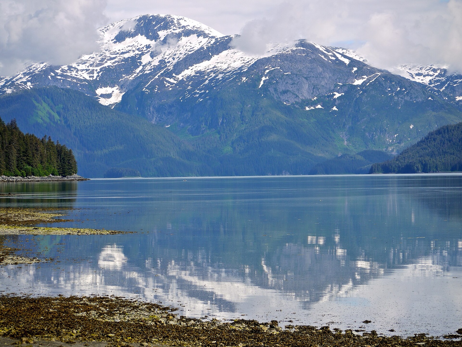 Photo: Joseph from Cabin On The Road, USA (Wikimedia Commons) · CC BY-SA 2.0
Arrive 3:00 pm
A steep-walled fjord on the mainland shore of Stephens Passage, with mountains rising to several thousand feet. Anchorage depths, holding and shelter are unconfirmed, so treat it as a reconnaissance stop and check current charts. Whether you may land at the Speel Arm power station is also unconfirmed.
9.5 NM · about 1 h 35 mto Taku Harbor Public Dock (Taku Harbor State Marine Park)
DAY 6 · Taku Harbor Public Dock (Taku Harbor State Marine Park)
Photo: FifthStreetBikers (Wikimedia Commons) · CC BY-SA 4.0Arrive 12:00 pm
Back to Taku Harbor for a quiet night on the way home. Float length, power, water and fees are still unconfirmed, so keep some flexibility. Check the weather in Stephens Passage before the last run.
31.5 NM · about 5 h 15 mto Statter Harbor (Auke Bay)
DAY 7 · Statter Harbor (Auke Bay)
Photo: mike from New York, NY, US (Wikimedia Commons) · CC BY-SA 2.0Arrive 2:00 pm
Return to Auke Bay to end the trip. Refuel at the harbour fuel dock, clean the boat and expect the charter company's hull and cleaning fees. Allow time before check-in.
Comments
No comments yet