 CC BY 2.0, Wikimedia Commons
Snorkel· Norman Island· Virgin Islands (BVI, USVI and Spanish Virgins)
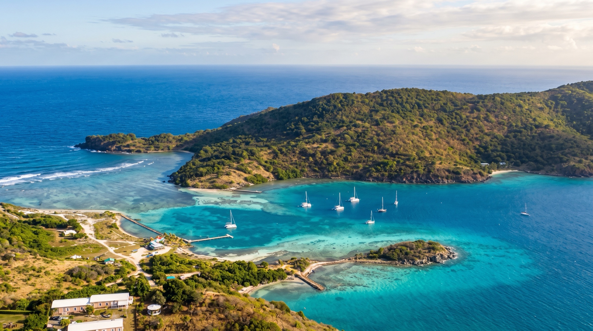
The Caves (Norman Island)
18° 18.9′ N · 64° 37.5′ W · approximate
Three water-level sea caves cut into the cliffs of Treasure Point just outside the Bight; you swim from bright reef into a cave that gets darker the deeper you go, with fish life, turtles and sometimes sleeping nurse sharks inside.
Practical
Approximate position: placed in the water off the west face of Treasure Point (the headland on the south side of the Bight's mouth) using the OpenStreetMap coastline; Coast Pilot 5 places Privateer Bay on the west side of Treasure Point and Wikipedia puts the caves at the base of the cliffs just outside the Bight's western edge. BVI National Parks Trust day moorings (orange balls: day use only, 90-minute limit, first come first served; a Marine Conservation Permit is required) plus a dinghy line; dinghy over from the Bight if the balls are full. The Moorings (2026) says the northernmost cave extends about 70 ft into the rock: take an underwater light, mask and fins. Mornings are quieter before day-charter boats arrive. Do not stand on coral.
Best for
Pirate-legend cave snorkel a short dinghy ride from the Bight
Itineraries that stop here
Nearby
- Treasure Point (Norman Island)0.1 NM away
- Privateer Bay (Norman Island)0.2 NM away
- The Bight Mooring Field (Norman Island)0.3 NM away
- Willy T (Norman Island)0.4 NM away
- Angelfish Reef (Norman Island)0.5 NM away
- Kelly's Cove (Norman Island)0.6 NM away
- Winter north swell & Christmas winds (southern chain)0.6 NM away
- Pirates Bight (Norman Island)0.7 NM away