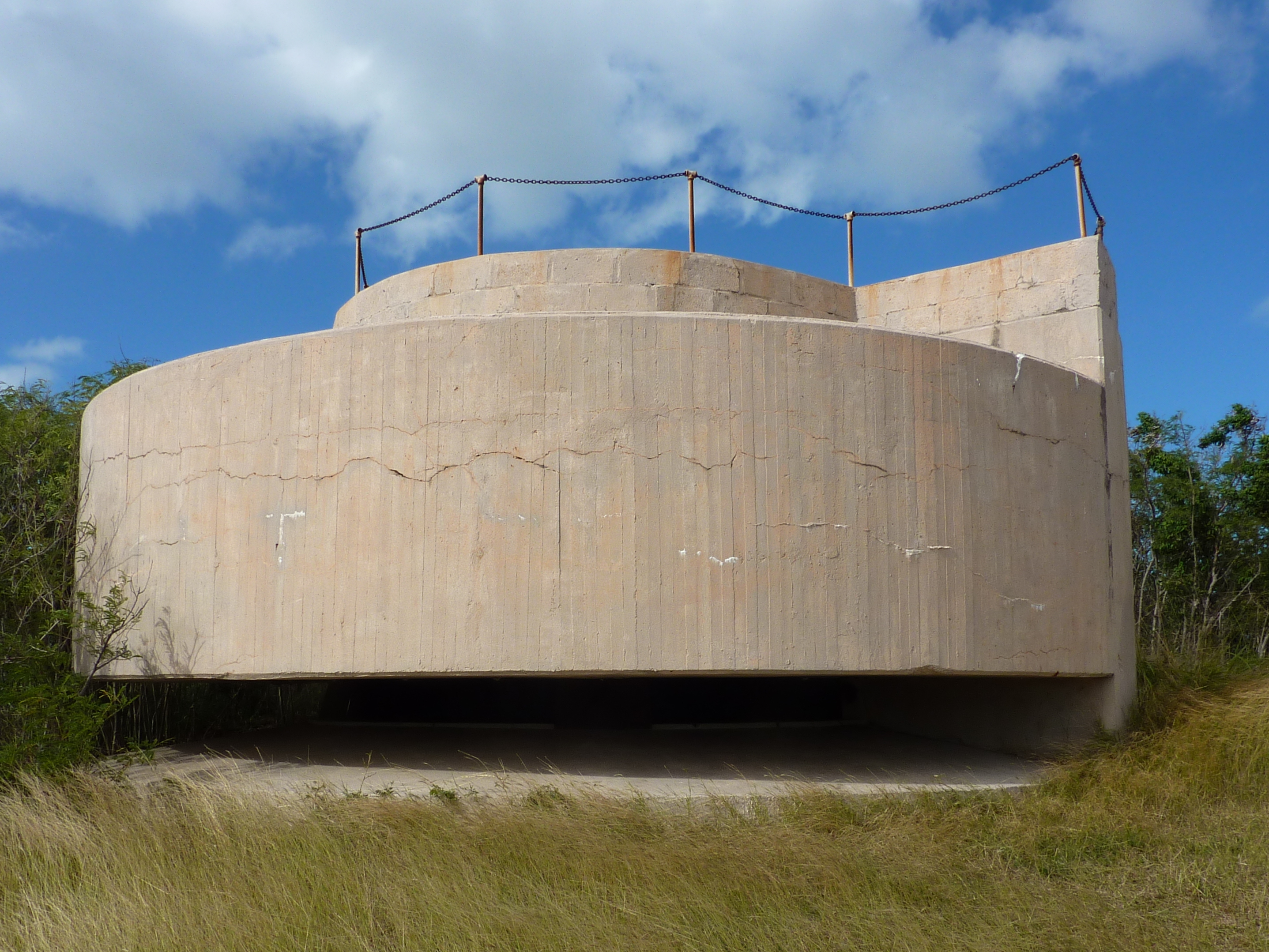
 CC BY-SA 4.0, Wikimedia Commons (Gruepig)
Hike· Water Island· Virgin Islands (BVI, USVI and Spanish Virgins)
Fort Segarra (Water Island)
18° 18.5′ N · 64° 57.4′ W · approximate
An unfinished World War II underground fort on Water Island's hills, built to guard the St. Thomas submarine base, with tunnels, gun emplacements and big views over the harbor and Flamingo Bay.
Practical
Position approximate: the OpenStreetMap 'Fort Segarra' point. Wikipedia: construction began in 1944 and was abandoned in 1948; the Army later used it for chemical agent tests, and the US Army Corps of Engineers monitors the old test sites. Tunnels and underground chambers are accessible. Land the dinghy in Flamingo Bay's inner lagoon dock or walk from Honeymoon Beach; bring a light for the tunnels and good shoes.
Best for
A short history hike from the Water Island anchorages
Nearby
- Flamingo Bay Anchorage (Water Island)0.3 NM away
- Dinghy's Beach Bar & Grill (Honeymoon Beach)0.5 NM away
- Druif Bay / Honeymoon Bay Anchorage (Water Island)0.6 NM away
- Honeymoon Beach (Water Island)0.6 NM away
- Phillips Landing (Water Island Ferry Dock)0.8 NM away
- Supermarket Reef (Limestone Bay, Water Island)0.8 NM away
- Elephant Bay Anchorage (Water Island)1 NM away
- Krum Bay (Hurricane Shelter)1.2 NM away