 Public domain (Walker Mangum), Wikimedia Commons
Anchorage· Anegada· Virgin Islands (BVI, USVI and Spanish Virgins)
West End Roadstead (Anegada)
18° 44.5′ N · 64° 26.0′ W · approximate
An open-roadstead anchorage on the sand bank about a mile off Anegada's West End, named in the US Coast Pilot as a good temporary anchorage in settled weather. A daytime stop only, with nothing ashore but empty beach.
Practical
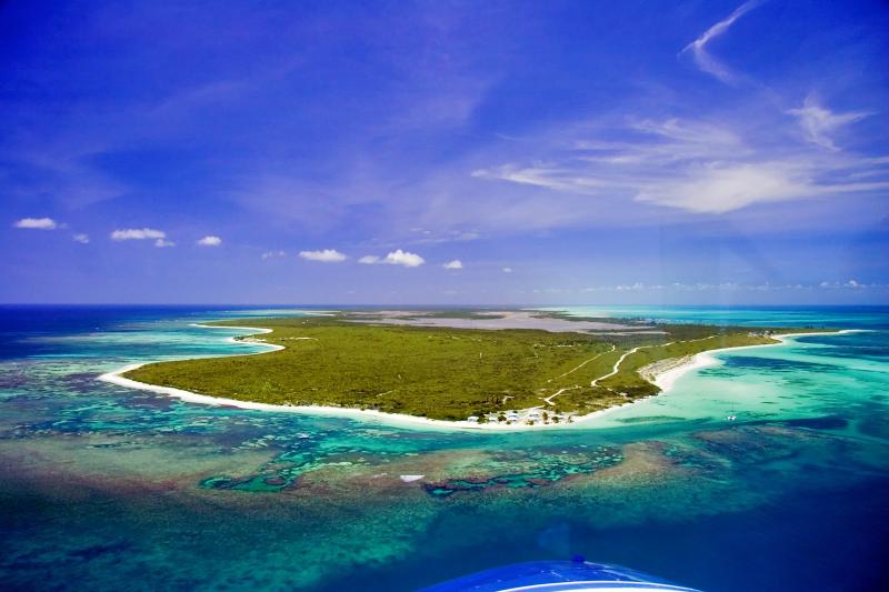
Position is approximate: placed about 1 nm due west of West End Point (GeoNames 18.74111, -64.41582), where US Coast Pilot 5 (chapter 14, 2026 edition) says good temporary anchorage may be found in 5 to 6 fathoms (30 to 36 ft). The bank west of Anegada is chiefly fine sand and vessels may anchor on it in good weather 'taking care to avoid the dangers'. The north-shore barrier reef ends about 300 yards off West End; the south side is foul with detached coral patches up to 3.5 miles offshore, and a 5-fathom patch lies 3.3 miles west of West End. The Coast Pilot warns that during the period of rollers, October to May, it is advisable to anchor south of the island instead. Fully exposed to the west and to northerly swell; not an overnight anchorage. Charter companies generally expect you to use Setting Point. Context from Wikipedia: Anegada is a flat coral island whose highest point is only about 28 ft, so it gives no lee from northerly swell, and large salt ponds (a Ramsar site since 1999) cover much of the west end; the Wikimedia Commons aerial (Walker Mangum, public domain) shows the reef and sand bank off the West End. The anchorage depths and roller warning come only from the Coast Pilot; no cruising guide we could open describes this spot, so treat it as a chart-based option.
Best for
A settled-weather lunch stop or staging point when rounding the west end
Season
Settled weather only; avoid Oct–May when northerly rollers run