 Photo: Patrice78500 · CC BY-SA 4.0 · Wikimedia Commons
Anchorage· Leonidio (Plaka)· Greece — Ionian, Saronic & Argolic
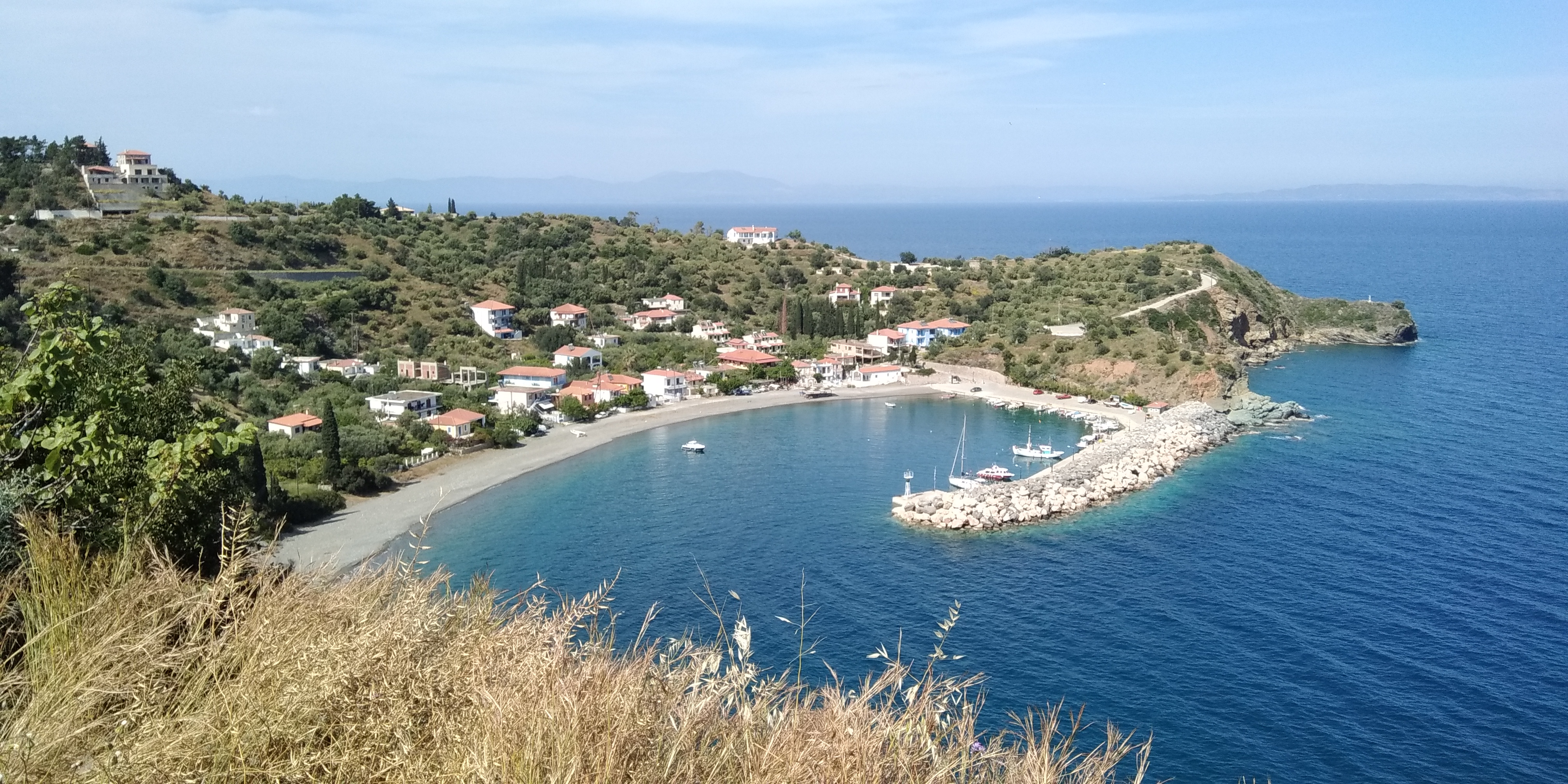
Sampateki Harbour
37° 11.3′ N · 22° 54.6′ E · approximate
A tiny, lush harbour with a dark-pebble beach and a single taverna, 5 km from Leonidio — room for only a couple of yachts, but one of the most charming stops on the Kynourian coast.
Practical
Coordinate approx: placed inside the mole, about 150 m WSW of the mapped harbour light (OSM 37.18985, 22.91145), checked against the OSM coastline. Sailing Issues: unsurveyed reefs lie on the N–E approach — keep more than 350 m off and come in on a course of 280° or more (see the Sampateki approach passage). Room for a couple of yachts at the S end of the quay; watch for rocks and an old anchor near the light; a fouled anchor chain is marked by 3 buoys. Taverna mapped by the beach (37.18978, 22.90807). Thiopafto beach is just south (Greek Wikipedia). About 34 residents (2021).
Best for
Quiet overnight for one or two boats
Nearby
- Leonidio Town Provisions2.6 NM away
- Leonidio (Plaka Harbour)2.7 NM away
- Leonidio (Plaka) Fuel & Water2.7 NM away
- Leonidio Climbing Festival2.7 NM away
- Leonidio Easter Hot-Air Balloons2.7 NM away
- Plaka Eggplant Festival2.7 NM away
- Plaka Tavernas (Leonidio)2.7 NM away
- Winter Sirocco (Argolic Gulf)2.7 NM away
Place data includes © OpenStreetMap contributors (ODbL).