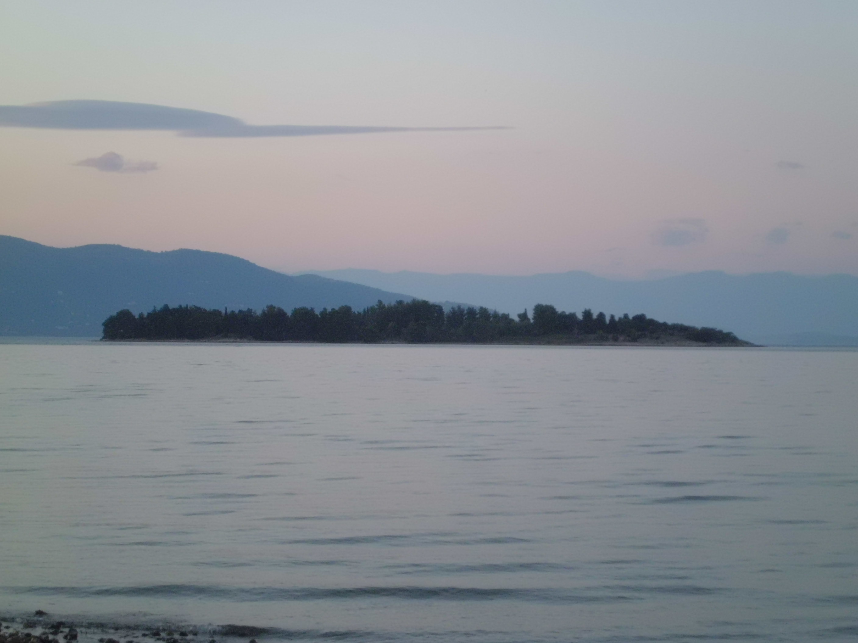
 CC BY-SA 3.0, Wikimedia Commons (Lazaretto_island_(Corfu).jpg)
Landmark· Lazaretto· Greece — Ionian, Saronic & Argolic
Lazaretto Island
39° 38.9′ N · 19° 52.8′ E
A 7-hectare islet 2 nm north-east of Corfu Town that served as a Venetian monastery, a leper colony and, in World War II, an Italian prison camp for Greek resistance fighters — the execution wall still stands. For sailors it is the landmark that marks the approach to Gouvia.
Practical
Coordinate from Wikipedia. Noonsite: approaching from the northern channel, Lazaretto lies about 1 mile south of the Gouvia Bay entrance — use it to find the buoyed entrance channel. The island is administered by the Greek National Tourism Organisation; landing and opening arrangements vary, so check locally before going ashore.
Best for
Landmark for the Gouvia approach; sobering WWII history