 CC BY-SA 4.0, Laurent Seignobos / Wikimedia Commons
Landmark· Anaa· French Polynesia: Tuamotus, Marquesas, Gambier & Australs
Anaa Atoll (no pass)
17° 23.0′ S · 145° 30.0′ W
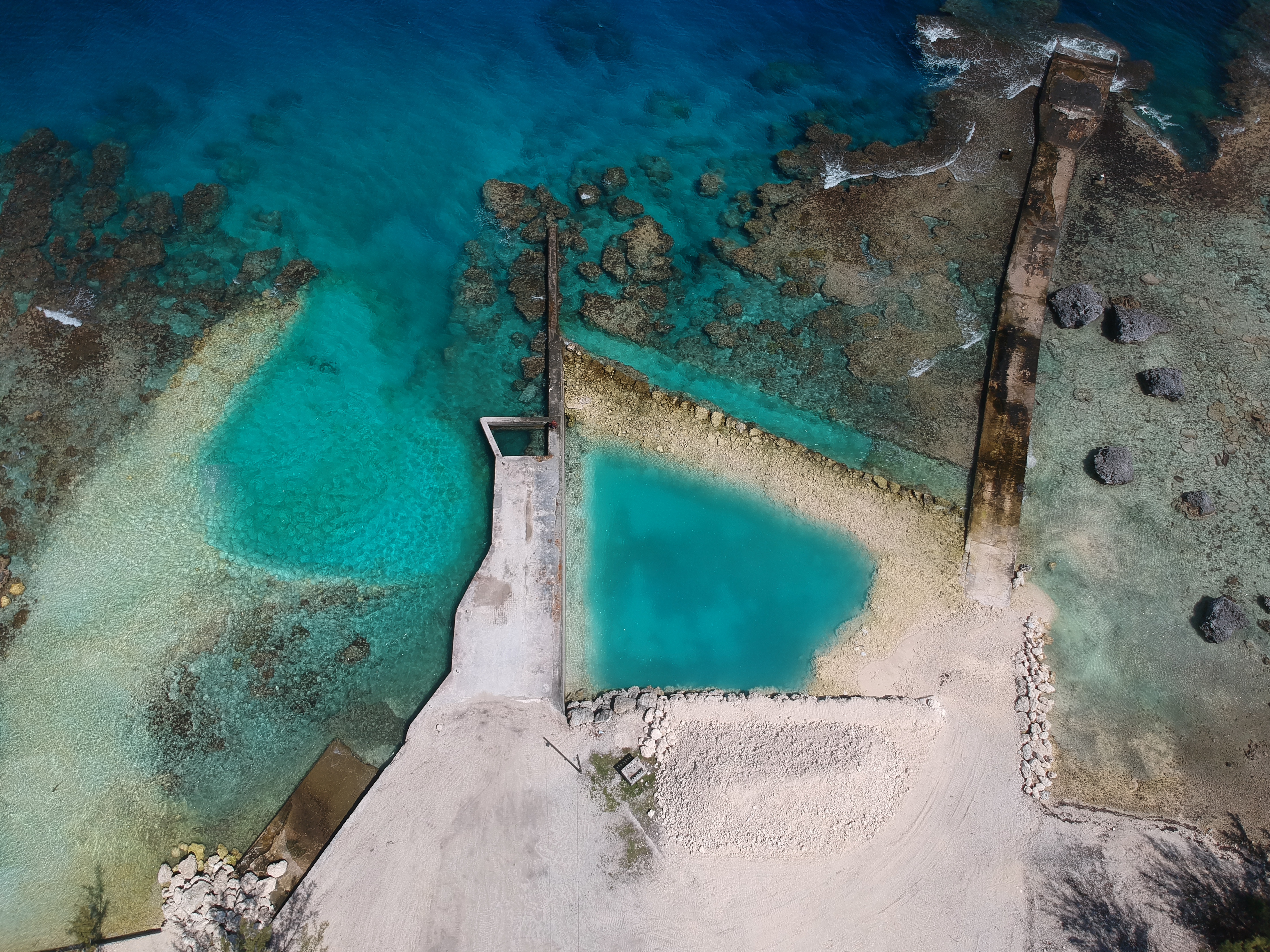
A raised, pass-less atoll famous for its shallow, luminous lagoon, whose reflection turns low clouds green (taeroto, which still helps sailors locate the atoll), for 'feo' fossil-coral ramparts, and for the feared Parata warriors who dominated the Tuamotus for two centuries.
Practical
Coordinate is the atoll as given on Wikipedia FR (17°23'S 145°30'W). No navigable pass: water exchanges through shallow hoa you can wade across (Wikipedia). One dug channel is 'difficilement praticable', marked by coral heads standing 3 m above the water (Wikipedia FR). The 2021 government sheet lists the pass as 'fermée'. No cruiser anchorage has been published, and most visitors fly in (1 hr 10 min by ATR 72 from Papeete). The lagoon averages 5-6 m (Welcome Tahiti), compared with 50 m in many other atolls. History: Spanish, French and British explorers sighted it from 1606 onward; up to 2,500 people lived here in 1825; cyclones in 1878 and 1906 flooded the atoll completely, with 95-130 people lost in 1906 (Wikipedia). Fishing is regulated across the whole lagoon and reef flat (the Gânaa Tâku-Tua Gânaa Tâku-Aro zone, Arrêté 868 CM of 26 June 2020): spearfishing banned from 6 pm to 6 am, and fish-park numbers capped. Main village Tukuhora (494 people in 2017).
Best for
A cultural fly-in visit to a historic atoll
Nearby
- Anaa Airport (AAA)1.9 NM away
- Anaa Mairie, Post Office and Infirmary (Tukuhora)2.4 NM away
- Tukuhora Magasins (Anaa)2.5 NM away
- Anaa Lagoon Quay (Tukuhora)2.6 NM away
- Tukuhora Village (Anaa)2.6 NM away
- Tukuhora Guesthouses (Anaa)2.7 NM away
- Anaa Supply Ship and Aranui Calls3 NM away
- Anaa Feo Coast and Caves8.5 NM away