Anchorage· Sucia· Salish Sea — San Juans, Gulf Islands & Desolation Sound
Fossil Bay (Sucia Island)
48° 45.0′ N · 122° 53.9′ W
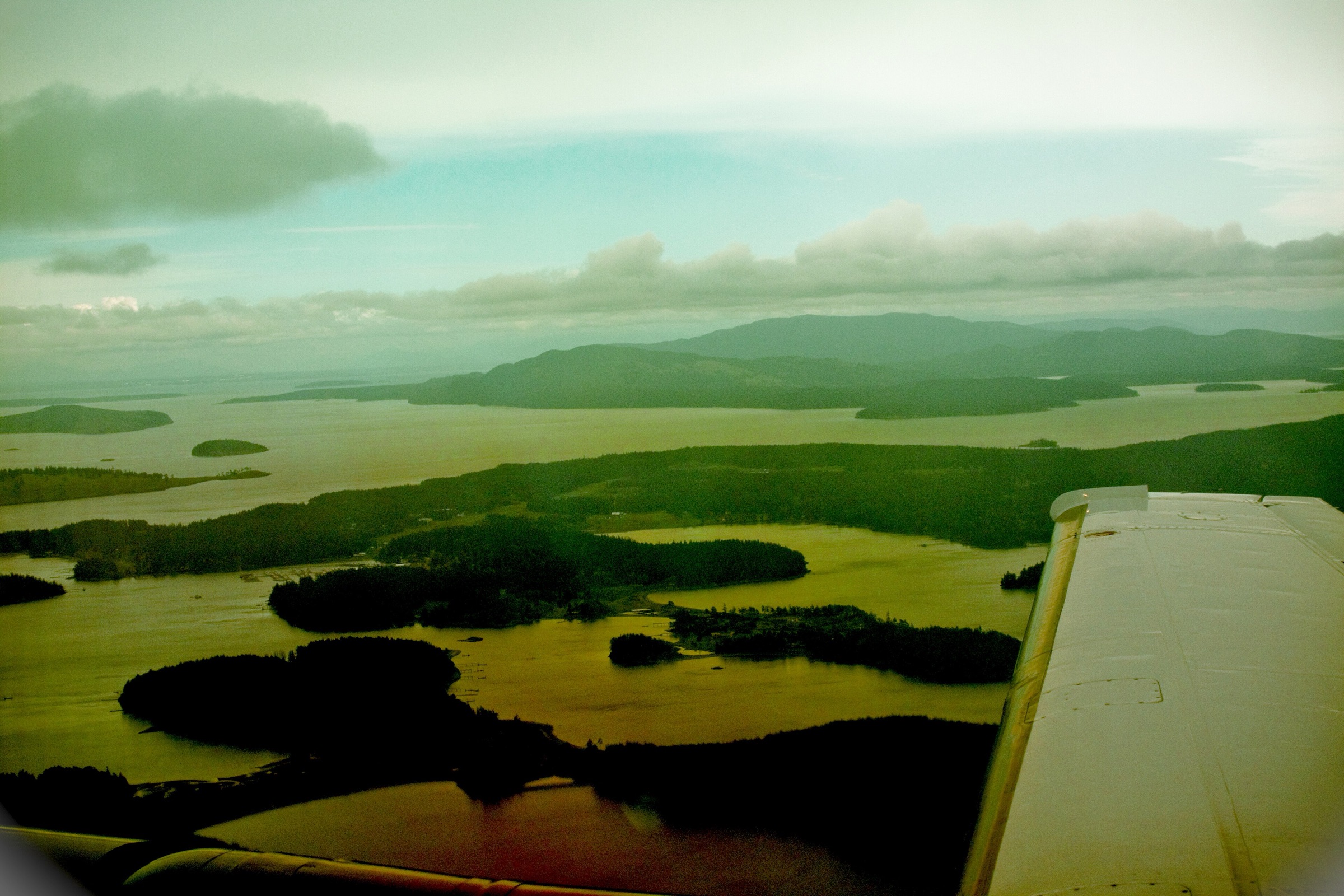
Sucia's best-known bay, with state park docks at its head, sandstone shores carved into odd shapes, and trails across the island. It faces south toward Orcas Island and is the busiest of Sucia's coves in summer.
Practical
Coordinate is the OSM bay. Anchor in mud and sand. The bays around Sucia are listed as Sensitive Eelgrass Areas: the Coast Pilot asks boats not to anchor in less than 30 ft (9 m). Some spots have eelgrass and weed that make an anchor hard to set. Reefs run off Henry Point and the Finger and Cluster Islands; check the chart on the way in. Current State Parks alerts: no drinking water October 1 to April 15; from mid-November 2026 a barge and crane will be in Fossil Bay building a pump-out station (moorage stays open). Dock 2 is removed October to April; buoys stay all year. 48 buoys, two linear moorage systems and two docks around the island. Contact 360-376-2073. State Parks moorage (2025 rates, still posted in 2026): buoys $23 a night, docks $1 per foot ($23 minimum), charged from 1 pm to 8 am all year. Self-register and pay on arrival, rafted boats included; phone registration is posted at the buoys. An annual State Parks moorage permit ($7 per foot, $80 minimum) covers docks and buoys. Fossil collecting is forbidden. No services on the island; nearest fuel and groceries at West Beach on Orcas (seasonal).
Best for
Docks, camping and the island trails
Season
Year-round; best May-Sep; full on summer weekends
Itineraries that stop here
Nearby
- Echo Bay (Sucia Island)0.5 NM away
- Shallow Bay (Sucia Island)1 NM away
- Rolfe Cove (Matia Island)2.1 NM away
- Eastsound Groceries (Orcas Island)3.3 NM away
- Active Cove (Patos Island)3.4 NM away
- Eastsound and Fishing Bay Anchorage (Orcas Island)3.6 NM away
- Patos Island Lighthouse Trail (Patos Island)3.7 NM away
- Mount Constitution, Moran State Park (Orcas Island)5.1 NM away
Place data includes © OpenStreetMap contributors (ODbL).