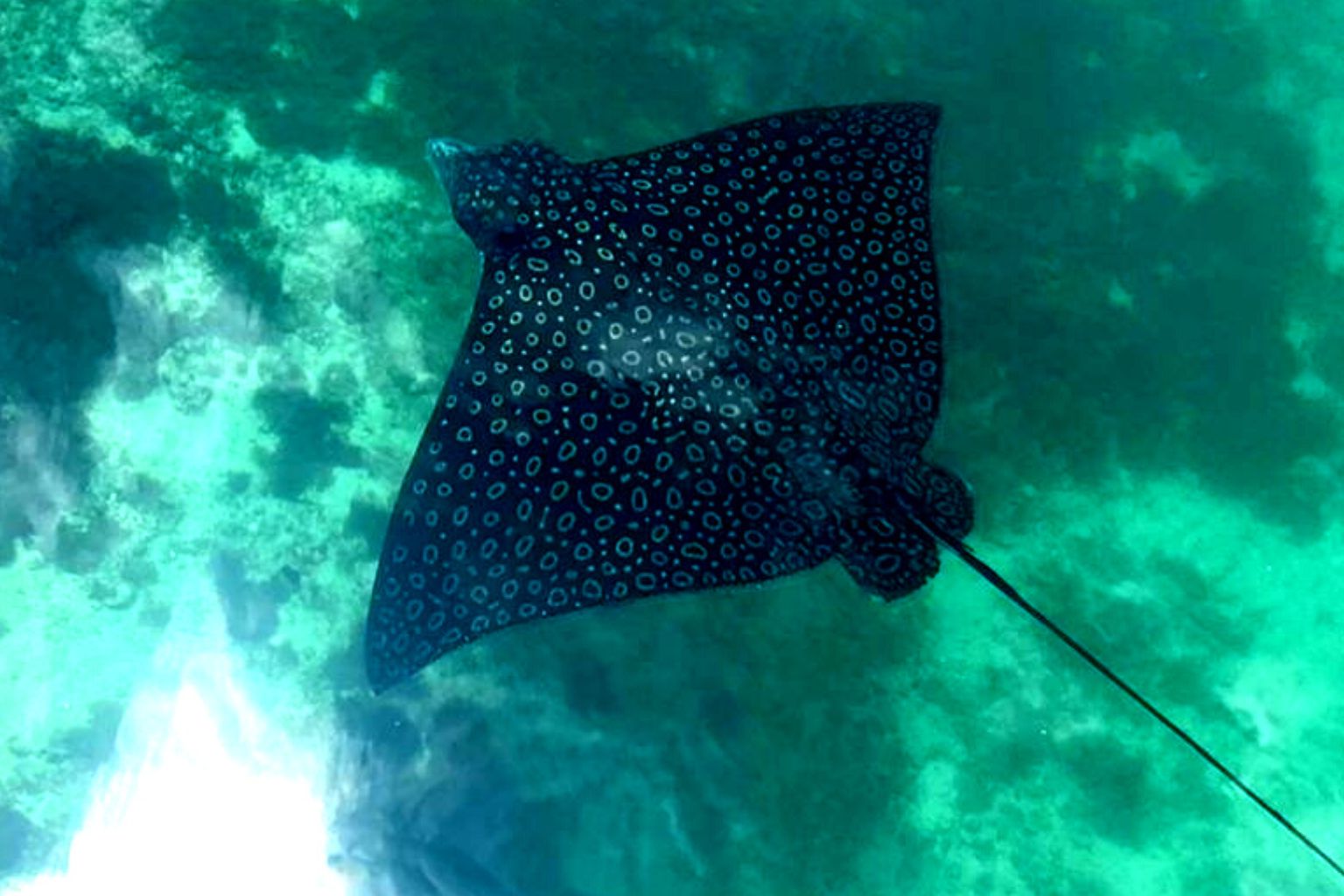
 CC BY-SA 4.0, MKinnon, via Wikimedia Commons
Marina· Puerto Aventuras· Mexico
Puerto Aventuras Marina
20° 29.7′ N · 87° 13.9′ W · approximate
The only full marina on the Riviera Maya - a resort basin cut into the coast that is the coast's best all-weather refuge, sportfishing capital and a convenient place to clear out for Belize.
Practical
Coordinate is SEMAR's inner channel beacon 'Baliza Sur 03' (20 29'41.84"N, 87 13'56.11"W; green flash every 3 s, 2 nm), used as the marina position; the outer entrance waypoint is in the passages list. Takes boats to 150 ft including catamarans; excellent shelter - Noonsite calls it a good hurricane hole, and Wikivoyage says the Cozumel ferries shelter here in bad weather. Fuel dock and clearance services (Noonsite business listing). August 2022 cruiser: no marina showers and no self-service laundry, but drop-off laundry returned in 1-2 days; good restaurants and small boutique shops for provisions; large Chedraui supermarket on the main highway, about a 5-minute drive or 20-minute walk. Noforeignland users rate it 4.6/5: well protected and friendly, but entrance can be difficult in some weather and fees are high. Rates not published - verify locally. Operator's published position 20 29.7333'N, 087 13.4666'W; North Marina 110 slips and South Marina 33 slips for boats of 15-140 ft; harbourmaster on VHF 79A and 16, phone +52 984 873 5108 (marina site, 2026). Published low-season rate sheet (prices updated 1 February 2024, US dollars plus 16% IVA): daily berth US$1.07 per foot without power, US$1.57 with 50 A, US$1.61 with 100 A; monthly US$0.82 per foot without power - verify locally. Rules: register at the office on arrival and pay within 24 hours; no-wake in the channel; only minor repairs allowed on the dock (no painting or major work); music only 9 am-10 pm.
Best for
Secure berth, fuel, hurricane refuge and clearance on the mainland
Nearby
- Puerto Aventuras ClearanceRight here
- Puerto Aventuras SportfishingRight here
- Puerto Aventuras Fuel Dock0.4 NM away
- Aquanauts Dive Shop (Puerto Aventuras)0.5 NM away
- Centro Comercial Marina Shops (Puerto Aventuras)0.5 NM away
- Puerto Aventuras Laundry and Marina Services0.5 NM away
- El Arbolito (Puerto Aventuras)0.6 NM away
- Planet Scuba Mexico (Puerto Aventuras)0.7 NM away