 CC BY 3.0, Wikimedia Commons (dearinaima)
Hike· Antigua· Leeward Islands
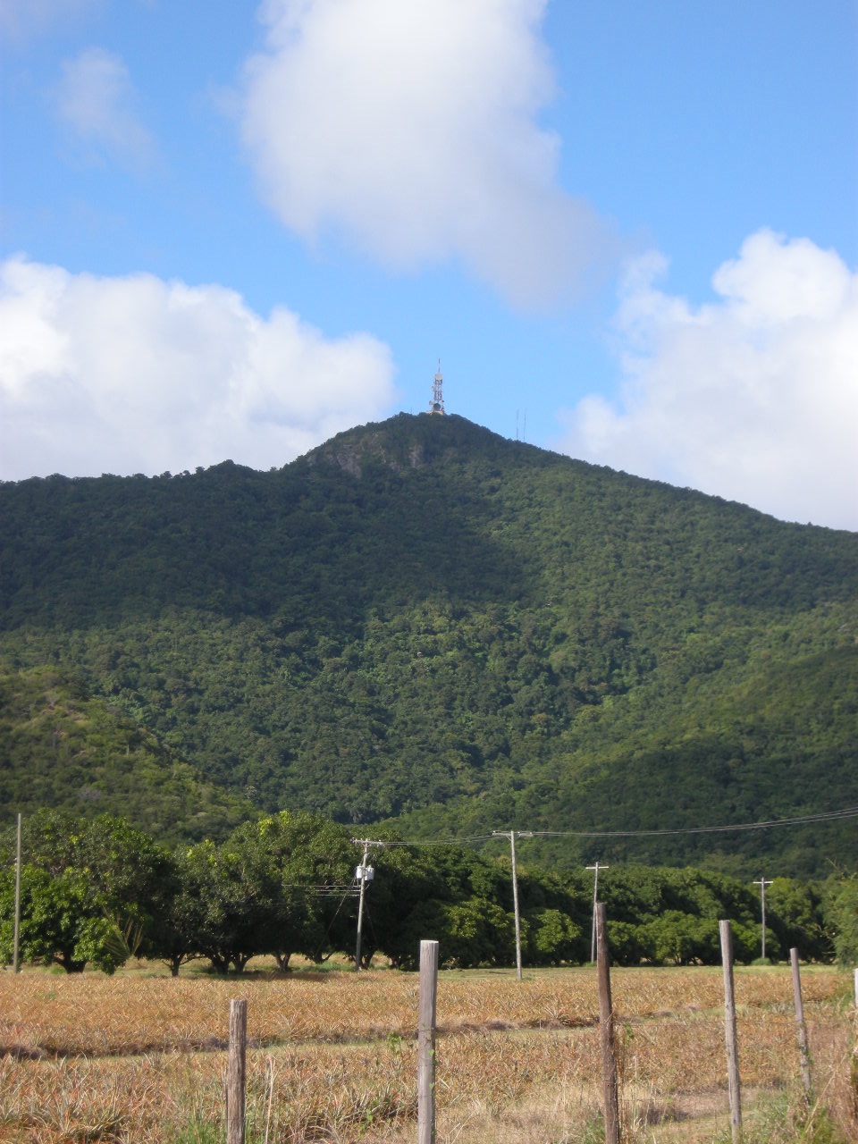
Boggy Peak (Mount Obama)
17° 2.7′ N · 61° 51.7′ W
At 1,319 ft (402 m) the highest point on Antigua, in the Shekerley Mountains above the south-west coast. Named Mount Obama from 2009 until the original name was restored in 2016; the trails still carry the Mount Obama name.
Practical
Position is the OpenStreetMap peak; OSM maps a 'Mount Obama Trail', Ridge Trail and South Loop Trail around it. The tourism board lists it among the moderate-to-strenuous Green Corridor hikes, with Wallings Dam at the base for a cool-down picnic. Easiest access from Carlisle Bay, Morris Bay or Jolly Harbour by taxi to the trailhead. Hot and steep: start early and carry plenty of water.
Best for
The island's summit hike with views to Montserrat and Guadeloupe
Nearby
- Budget Marine (Jolly Harbour)1.7 NM away
- Burton's Laundromat (Jolly Harbour)1.7 NM away
- Jolly Harbour Boatyard1.7 NM away
- Jolly Harbour Supermarket (Epicurean)1.7 NM away
- Indigo Divers (Jolly Harbour)1.8 NM away
- Jolly Harbour Marina1.8 NM away
- Jolly Harbour Valentine's Regatta1.8 NM away
- Jolly Harbour Customs1.9 NM away