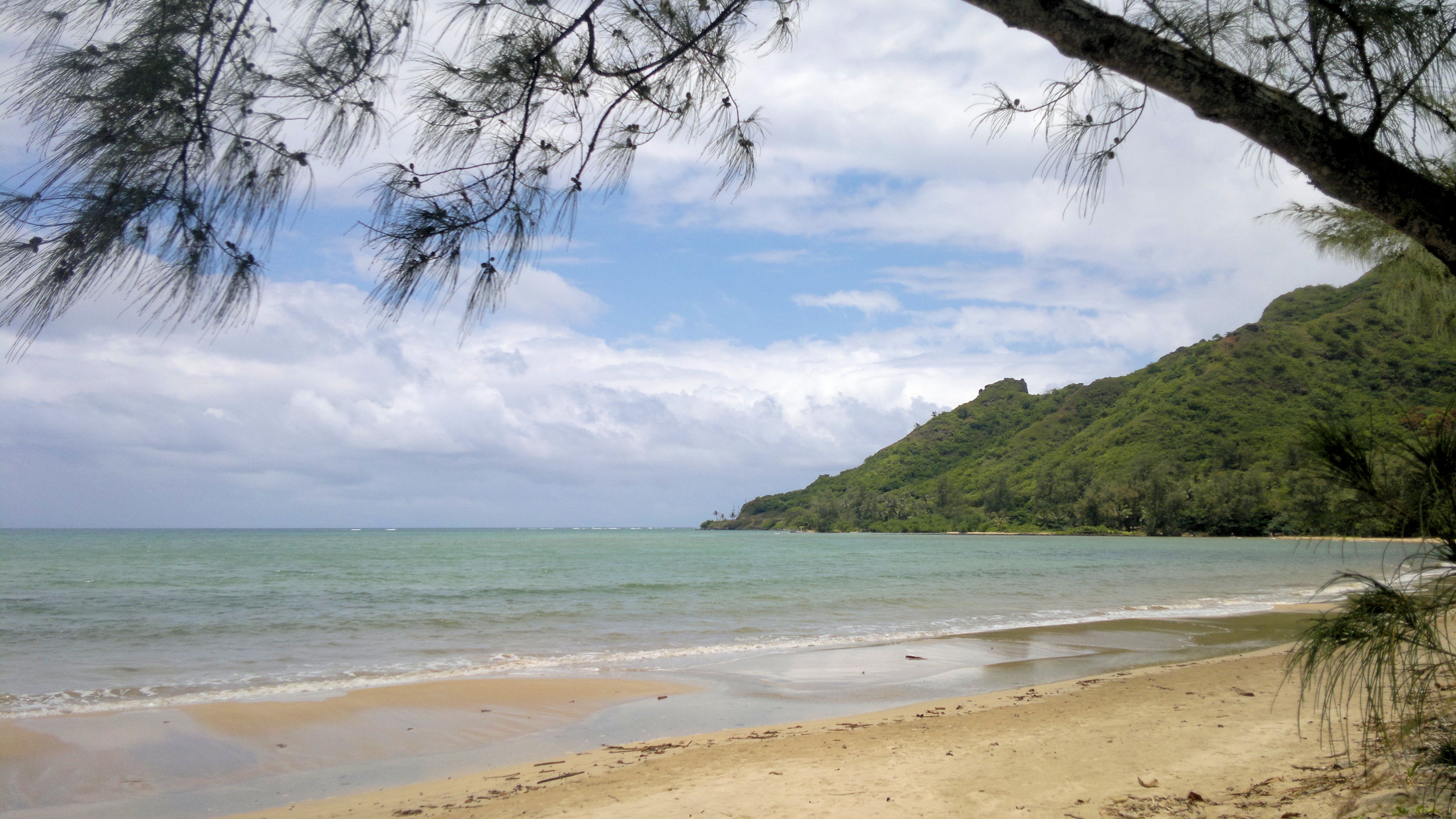
 CC BY-SA 3.0, Hakilon, Wikimedia Commons
Anchorage· Oahu· Hawaii
Kahana Bay Anchorage
21° 33.7′ N · 157° 52.3′ W · approximate
A deep, crescent-shaped bay walled by the Koolau mountains, with a long sand beach, a stream mouth and Huilua fishpond; one of the first anchoring options north of Kaneohe for small craft that can thread the reef.
Practical
Position is approximate, placed between the OpenStreetMap bay label and Kahana Bay Beach inside the line from Makalii Point (north) to Mahie Point (south-east); not a surveyed anchorage. Coast Pilot: entrance 1 mile wide, inland extent 0.6 mile; local small craft make the narrow passage through the reef and find limited shelter behind it; the breakers on both sides of the bay are the only guides for entering. A breakwater protects a launch ramp on the west side. Water is often murky from Kahana Stream and the nearshore bottom is rocky. Exposed to the trade-wind sea and to winter north-east swell: go in light trades, small swell and good light, and be ready to leave. No yacht facilities; beach park restrooms ashore. 72-hour anchoring limit applies.
Best for
Dramatic valley scenery for shoal-draft boats in settled weather
Season
Summer lulls with light trades and no north or north-east swell
Nearby
- Kahana Bay Launch Ramp0.3 NM away
- Ahupuaa o Kahana State Park0.9 NM away
- Kualoa Ranch3.1 NM away
- Hakipuu Anchorage (Kaneohe Bay West End)3.8 NM away
- Kualoa Regional Park and Mokolii (Chinaman's Hat)3.9 NM away
- Polynesian Cultural Center5.4 NM away
- Laie Point State Wayside5.7 NM away
- Foodland Laie5.9 NM away