 CC BY-SA 3.0, Handrian, Wikimedia Commons
Marina· Alonissos· Greece — Dodecanese, Sporades & North Aegean
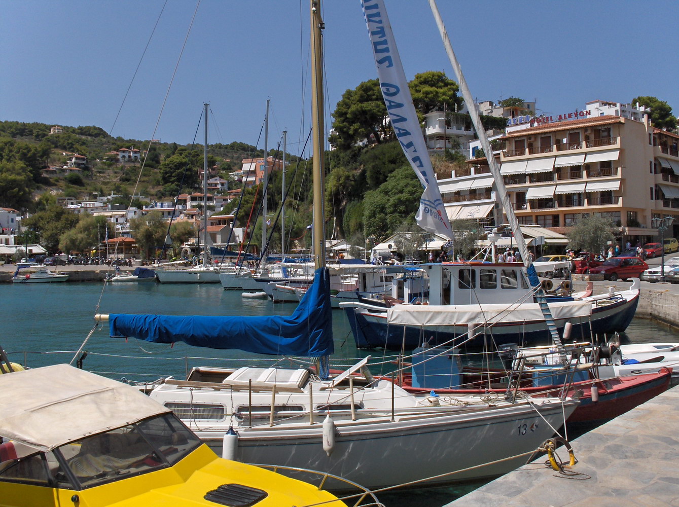
Patitiri Harbour (Alonissos)
39° 8.7′ N · 23° 51.9′ E
Alonissos' main port and village, set in a cliff-ringed bay on the south-east coast — the gateway to the National Marine Park, with good restaurants, the park offices and the mule track up to the old Chora.
Practical
Stern-to on the NE side; in season call the harbour office on VHF 12 (port authority tel. 2424065595, park website). Use the quay section facing SW, not the west-facing section, and moor more than 30 m NW of the inward-turning corner where most damage and anchor tangles happen (Sailing Issues). You can anchor in the basin but avoid the permanent ground moorings; the SE cove is clear but open to the prevailing wind. Main hazard: swell, which builds quickly even without local wind, especially in a meltemi — keep the stern well off, use snubbers and stagger masts with neighbours. Night-time ferries, trawlers and bars. Water and electricity by card (see Patitiri provisions entry); in May 2024 the electricity did not work but water did. In bad weather yachting.com suggests crossing here from the west-coast bays. Good snorkelling in the basin; the private Kostas Mavrikis museum. Children's playground.
Best for
Marine-park gateway, provisioning and the walk to Chora
Season
Year-round; rolly in the meltemi
Nearby
- Mediterranean Monk Seal Information Centre (Patitiri)Right here
- Alonissos Seacolours Dive Center (Patitiri)0.1 NM away
- AMoS Film Festival (Alonissos)0.1 NM away
- Patitiri provisions & water/power cards0.1 NM away
- To Kamaki Ouzeri (Patitiri)0.1 NM away
- Patitiri clinic & medical centre (Alonissos)0.2 NM away
- Rousoumi Gialos (Alonissos)0.3 NM away
- Patitiri fuel stations0.4 NM away