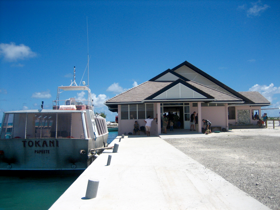
 CC BY-SA 3.0, FRED / Wikimedia Commons
Anchorage· Totegegie· French Polynesia: Tuamotus, Marquesas, Gambier & Australs
Totegegie Airport Anchorage (Gambier)
23° 5.0′ S · 134° 53.4′ W
Sand off the long, narrow airport motu on the eastern barrier reef. It is the easy place to meet guests off the plane, with a dirt track to the windward reef.
Practical
Coordinate from Pitufa: 8 m of sand, convenient for pick-ups. Sugar Shack used 23 deg 05.2104'S 134 deg 53.2219'W in 5 m near the airport dock (Feb 2022). North of the basin, the thin sand over rock didn't hold. Pitufa also anchored in the basin at 23 deg 05.815'S 134 deg 52.631'W in 14 m. Shallower parts are coral or rock plates with little sand, giving poor holding, and Irie found it deeper than charted (2013). Milky turquoise water hides depth, since 4 m and 20 m look the same colour. Pearl-farm buoys line the route even in the charted channel N of Aukena. Walking on or near the runway is illegal. Flights were on Tuesdays and Saturdays (2020). Meeting guests here saves them the 1,000 XPF Tokani fare each way.
Best for
Guest pick-ups and the false-pass snorkel