Anchorage· Placencia Peninsula· Other Caribbean
Placencia Harbour Anchorage
16° 30.7′ N · 88° 21.8′ W · approximate
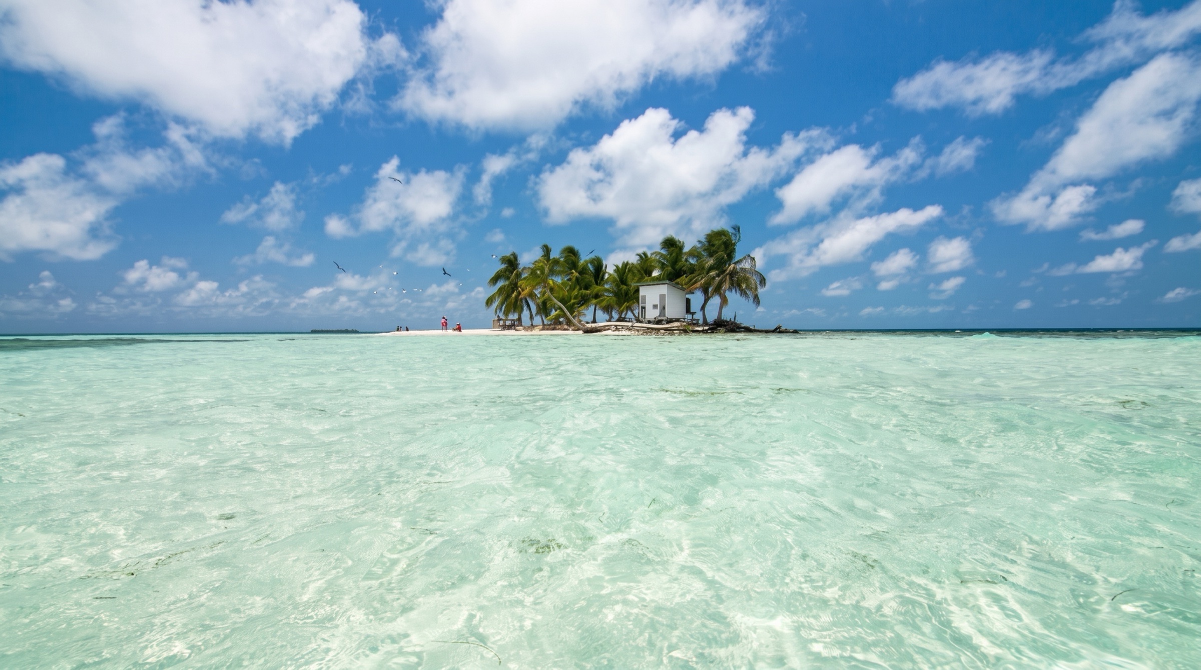
The cruising hub of southern Belize: anchor in mud between Placencia village and little Placencia Caye, a few minutes by dinghy from the sidewalk's bars, supermarkets and the fuel dock.
Practical
Position approximate: between the town dock and Placencia Caye (OpenStreetMap), where Soundings advises anchoring just west of the caye in about 20 ft. Good mud holding, excellent with winds NW to E (Moorings eGuide), but open to the SSE-S and untenable if strong winds come from there; in adverse conditions use the north side of the cut or the lagoon (Noonsite). Rolly in south swell; weekend noise from shore (noforeignland). Pay the mooring/anchoring fee at the yellow kiosk; garbage disposal US$5; land at the town pier (Moorings eGuide) or at the fuel dock at the end of Main Street - the gate locks after 6:00 pm, so tie up inside if late (Soundings). Lock dinghy and outboard: an attempted dinghy theft at 2:00 am was reported (Noonsite). Placencia is not a port of entry - clear at Big Creek or Punta Gorda. Entering the Placencia Lagoon is possible for up to 7-8 ft draft; very shallow shoal just south of Little Harvest Caye (Noonsite). The Moorings broadcasts weather on VHF 74 at 9:00 am.
Best for
Southern base for provisioning, clearance runs and the southern cayes
Season
Year-round; move in S winds
Itineraries that stop here
Nearby
- Placencia Lobsterfest0.2 NM away
- Placencia Marine Supply & Hardware0.2 NM away
- Placencia Health Clinic0.3 NM away
- Placencia Laundries0.3 NM away
- Placencia Yacht Club0.3 NM away
- Tutti Frutti Gelato (Placencia)0.3 NM away
- Yoli's Over Da Water Bar & Grill (Placencia)0.3 NM away
- Placencia Restaurant Week0.4 NM away