 AI image
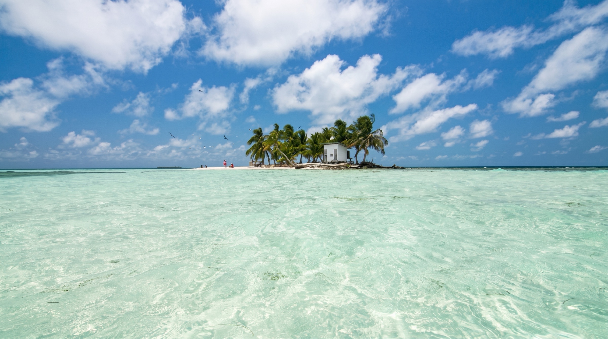
Belize Barrier Reef & Glover's Atoll
Belize Barrier Reef
200 NM · Moderate · 14 days
♡ Not saved yet · No comments yet
ModerateUnmarked coral heads throughout; navigate only in good overhead light and keep a bow lookout.
A 14-day round trip from Placencia, south to the Sapodilla Cayes, then north along the barrier reef through the Pelican Cayes, South Water and Tobacco cayes to the remote Glover's Reef atoll. Snorkelling is the point, from mangrove ponds to the lagoon's patch reefs, and the main charter companies require a local skipper aboard for the Glover's leg.
DAY 1 · Laru Beya Marina (Placencia)
 AI image
Leave 12:30 pm
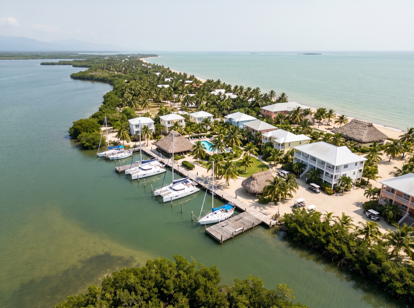
The Moorings charter base at the Laru Beya resort, a few miles north of Placencia village. The chart briefing is mandatory, and bareboats must stay inside the barrier reef unless a local skipper is aboard, and may not sail at night. Provision fully here, because the outer cayes sell little beyond bread, ice and water.
- 9:00 amChart briefingAsk the base to point out the unmarked coral heads on this route; most of it is eyeball navigation.
20.5 NM · about 3 h 25 mto Ray Caye Moorings (formerly Hatchet Caye)
Ray Caye Moorings (formerly Hatchet Caye)
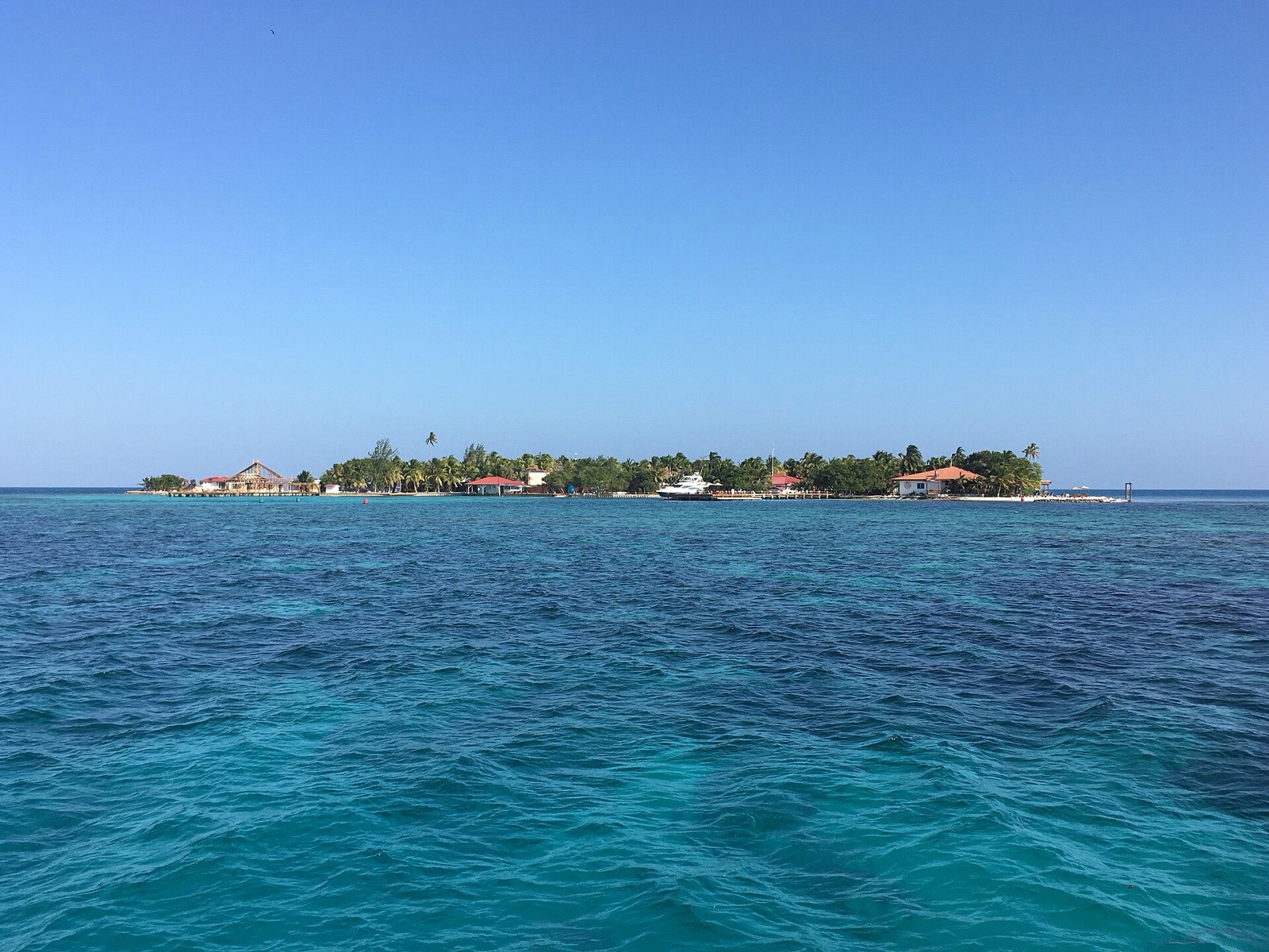 Photo: Kaldari · CC0 1.0
Arrive 4:00 pm
A small resort island just inside the barrier reef, with visitor moorings, a restaurant and a pool. Anchoring is hard in the deep water and coral ridges, so take a mooring and call the resort on VHF 11 on the way in. Book dinner ashore ahead of time.
- 5:00 pmSwim and sundownerThe reef edge is a short dinghy ride from the mooring field.
28 NM · about 4 h 40 mto Hunting Caye Anchorage & Ranger Station
DAY 2 · Hunting Caye Anchorage & Ranger Station
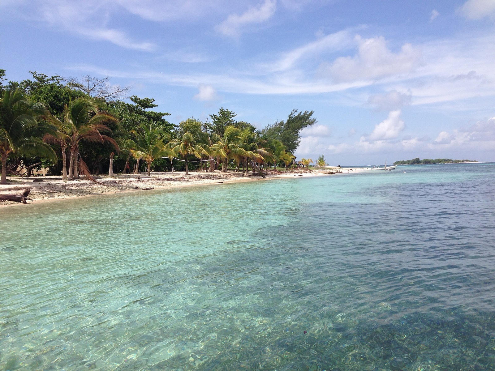 Photo: Chupu · CC BY-SA 3.0
Arrive 3:00 pm
The administrative heart of the Sapodilla Cayes, at the southern tip of the barrier reef: a crescent beach, a 65-ft lighthouse and a ranger station. Anchor west of the caye and check in with the rangers. This is one of the two longest legs, about five hours, so leave early and keep a bow lookout for coral heads. Hawksbill turtles nest on the beaches, so keep deck lights low.
- 4:00 pmCheck in with the rangersThey will tell you which areas are closed and where to anchor.
DAY 3 · Hunting Caye Anchorage & Ranger Station
Photo: Chupu · CC BY-SA 3.0A rest day. Snorkel the fringing reef by dinghy, walk the beach and climb up to the lighthouse. Reserve rules apply: no fishing or collecting in the no-take zones, no touching coral, and no anchoring on reef. Land only where the rangers allow, and keep off the turtle nesting beaches.
- 9:30 amSnorkel the fringing reefTie the dinghy to a sand anchor, never to coral.
- 3:00 pmBeach and lighthouse walkKeep to the paths.
30 NM · about 5 hto Whipray Caye (Wippari)
DAY 4 · Whipray Caye (Wippari)
 AI image
Arrive 3:00 pm
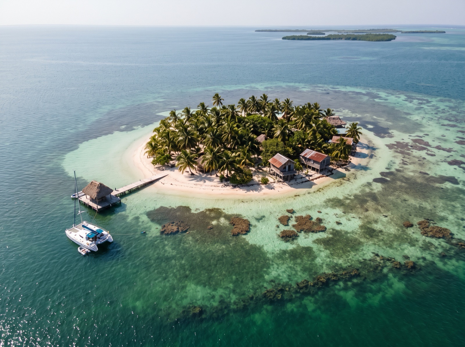
A one-acre caye with a fishing lodge and a bar, about 8 miles from Placencia. The run up from the Sapodillas is the longest of the trip, about five hours, so leave Hunting Caye early. There are two moorings on the west side; anchoring is tricky among unmarked coral heads, and Viper Rocks, a line of coral heads, lies south of the caye. Ask the lodge ahead whether it is serving visiting crews.
- 5:30 pmDinner at the Sea Urchin, if openCall ahead: one charter guide reports the lodge closed to passing boats.
6.5 NM · about 1 h 5 mto Lagoon Cayes Anchorage
DAY 5 · Lagoon Cayes Anchorage
 AI image
Arrive 10:30 am · leave 1:30 pm
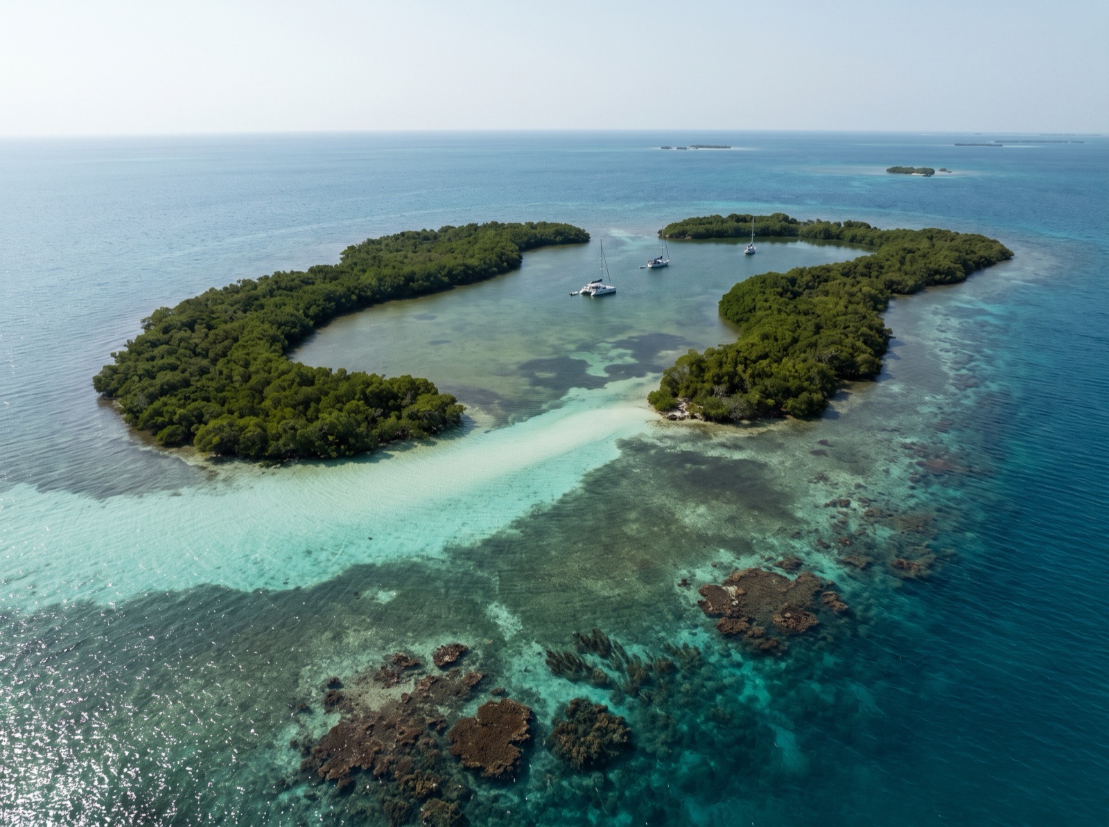
Two kidney-shaped mangrove cayes around a lagoon that is a favourite hiding place in strong winds. Find the entrance by eye, cross a bar of about 10 ft into deeper water, and anchor after the second bar. Brain coral and sea fans make easy snorkelling, with coral heads to the south and windward.
- 11:30 amLunch and snorkelEasy snorkelling on brain coral and sea fans near the entrance.
4 NM · about 40 mto Hideaway Caye Moorings (Pelican Cayes)
Hideaway Caye Moorings (Pelican Cayes)
 AI image
Arrive 2:30 pm
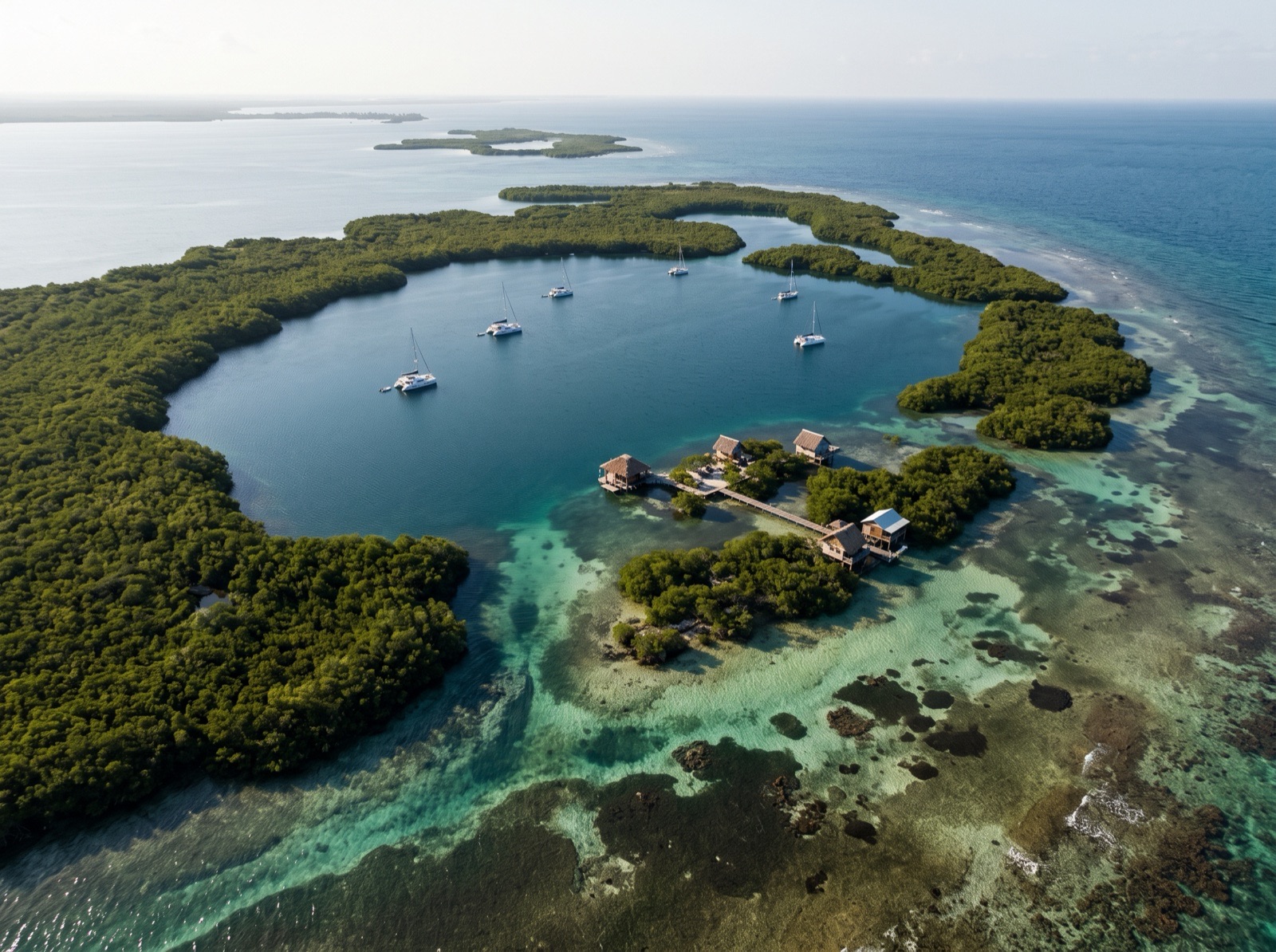
The anchorage in the middle of the Pelican Range, a ring of mangrove cayes sheltered from almost every direction. A few maintained moorings serve boats to about 50 ft, and the small over-water bar serves dinner; book on VHF 74. The charts are inaccurate here, so never make the approach for the first time in poor light.
- 3:30 pmSnorkel the mangrove pondsSponges grow on the mangrove roots, with rays and turtles in the channels. This is inside the South Water Caye Marine Reserve: look, but do not touch.
11.5 NM · about 1 h 55 mto South Water Caye Anchorage
DAY 6 · South Water Caye Anchorage
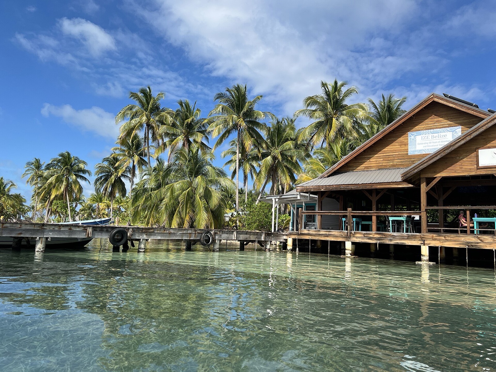 Photo: Nosferattus · CC0 1.0
Arrive 12:00 pm
A palm-covered caye on the barrier reef, with the drop-off a short swim from the beach. Anchor on the west side in about 10 ft; the bottom is mostly grass, so look for sand, and the shelter is good in easterlies only. Three small resorts feed visiting crews if you book during the day.
- 2:00 pmSwim the drop-offThe wall is on the east side; go only in calm conditions.
- 6:30 pmDinner ashoreBook by VHF or in person earlier in the day.
6 NM · about 1 hto Tobacco Caye
DAY 7 · Tobacco Caye
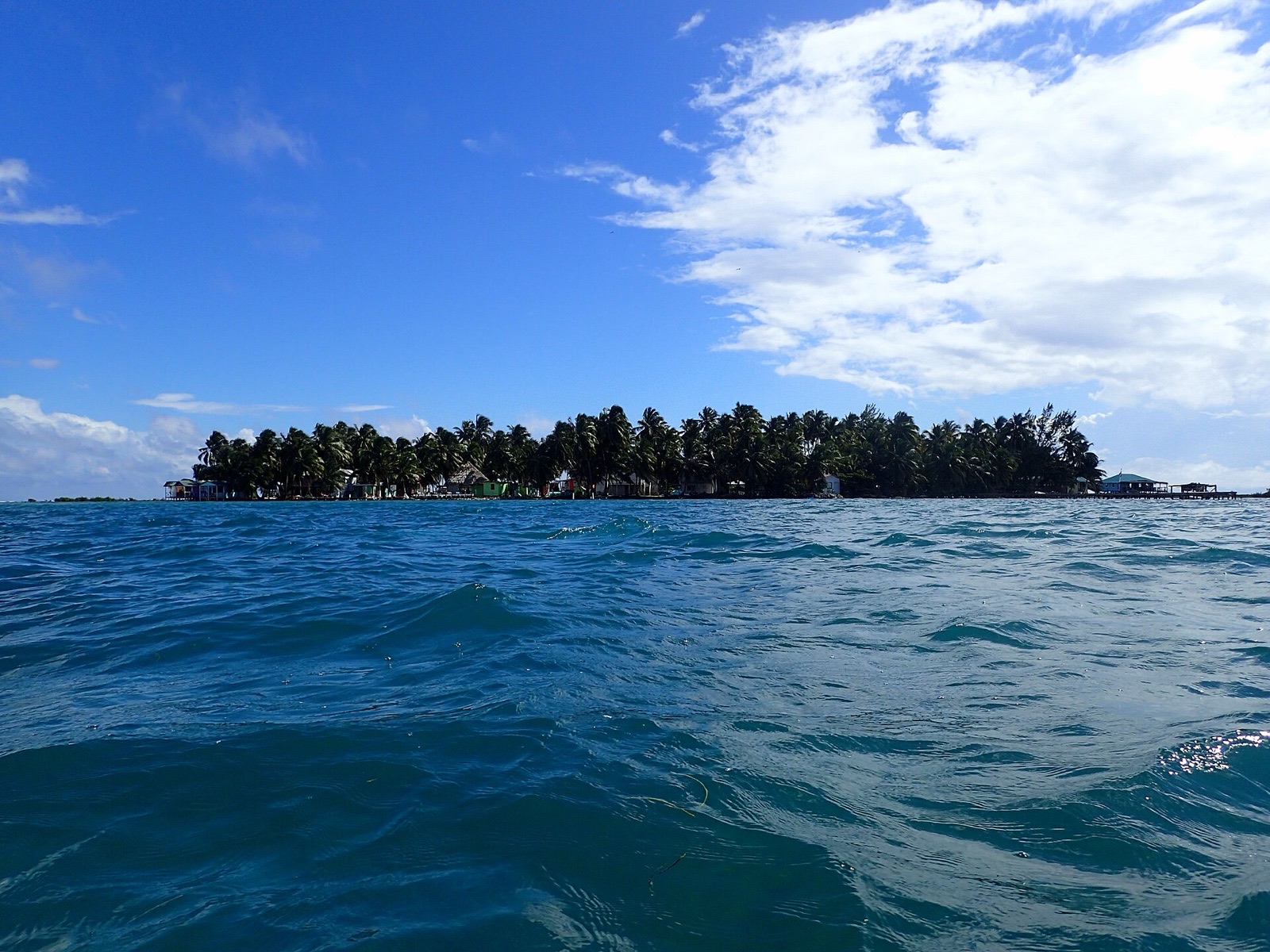 Photo: Kaldari · CC0 1.0
Arrive 10:30 am
A three-acre fishing caye on the reef with a few small lodges and a waterfront bar. Anchor west of the island in 5 to 10 ft; the reef calms the sea more than the island blocks the wind. Generators run only at night, and a small shop sells basics only. Use the short day to rest before the crossing to Glover's.
- 11:30 amReef snorkel from the beachThe reef edge runs along the east side of the caye.
- 5:00 pmSunset at Reef's EndThe bar serves visiting boat crews.
20 NM · about 3 h 20 mto Middle Caye Ranger & Research Station (Glover's)
DAY 8 · Middle Caye Ranger & Research Station (Glover's)
 AI image
Arrive 11:30 am · leave 12:30 pm
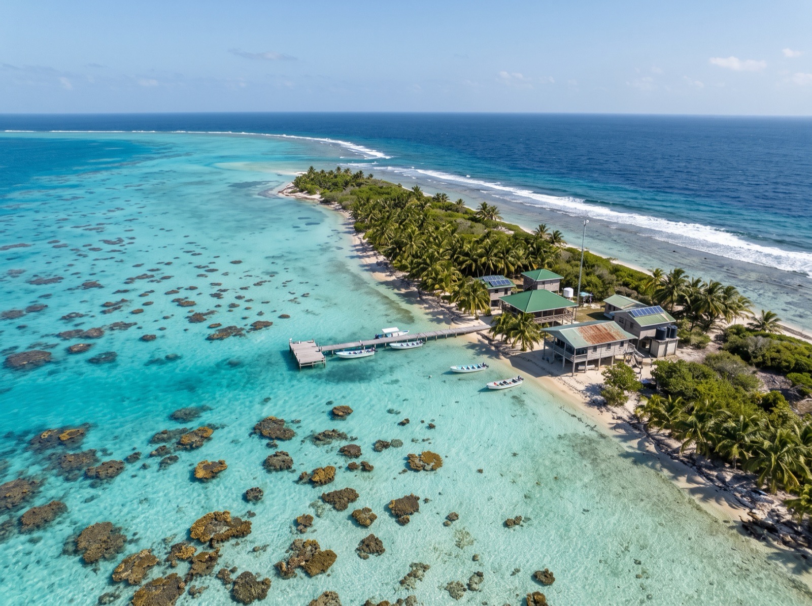
The Fisheries ranger station and the research station for Glover's Reef Marine Reserve. Report to the rangers on arrival and ask where you may anchor, snorkel and land. The Moorings and Dream Yacht Charter require a local skipper aboard beyond the barrier reef, so book one with the base well before this leg.
- 11:45 amReport to the rangersAsk about zones and any current closures before you snorkel.
3 NM · about 30 mto Southwest Caye Anchorage (Glover's Reef)
Southwest Caye Anchorage (Glover's Reef)
 AI image
Arrive 1:30 pm
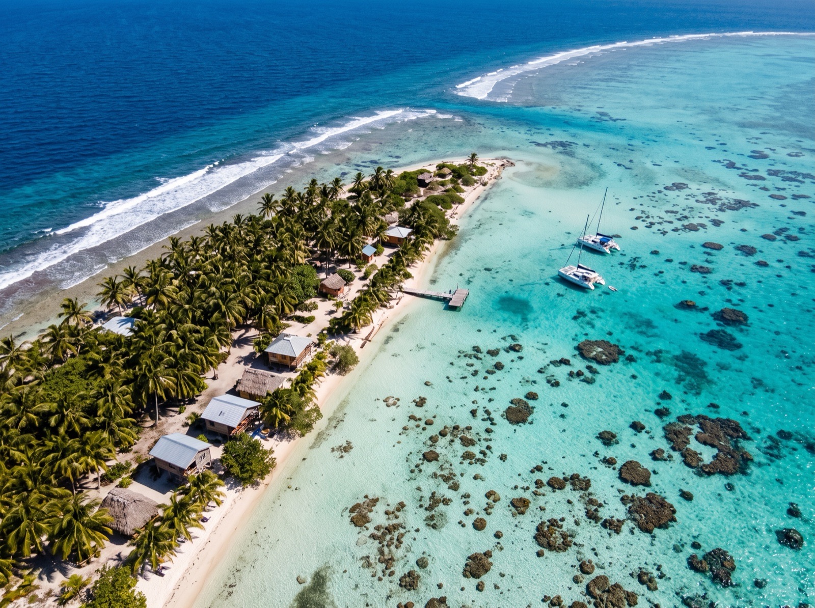
The favoured yacht anchorage at Glover's, in sand inside the reef by Southwest Caye, with clear water and patch reefs all around. Enter through the Southwest Channel by eye with the sun high, weaving between coral heads. Holding is good and the lagoon is flat, though gusts still reach the boat.
- 3:00 pmSnorkel the nearest patch reefsStay in the General Use zone and tie the dinghy to sand.
5.5 NM · about 55 mto Glover's Reef Patch Reefs
DAY 9 · Glover's Reef Patch Reefs
 AI image
Arrive 9:30 am · leave 12:30 pm
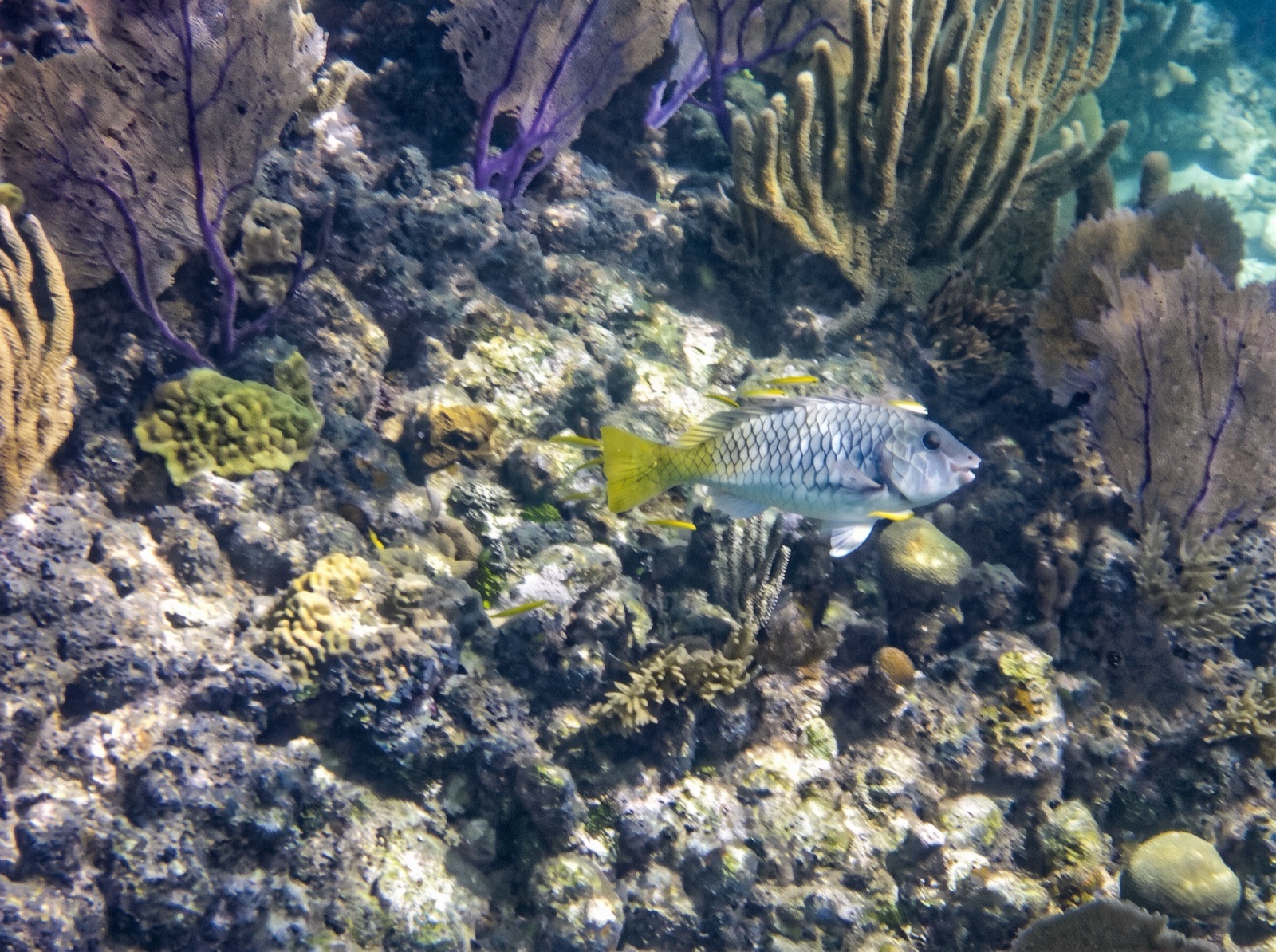
Some 850 coral patches and pinnacles rise to the surface inside the lagoon, and you can snorkel straight off the dinghy. Depths run to about 50 ft, and much is shallower. Snorkel only in the General Use zone: the Conservation and Wilderness zones are no-take or closed. Never stand on coral or anchor near it, and expect current near the channels.
- 10:00 amPatch reef snorkelDrift the shallow heads; keep the dinghy on a sand anchor.
3 NM · about 30 mto Long Caye Anchorage (Glover's Reef)
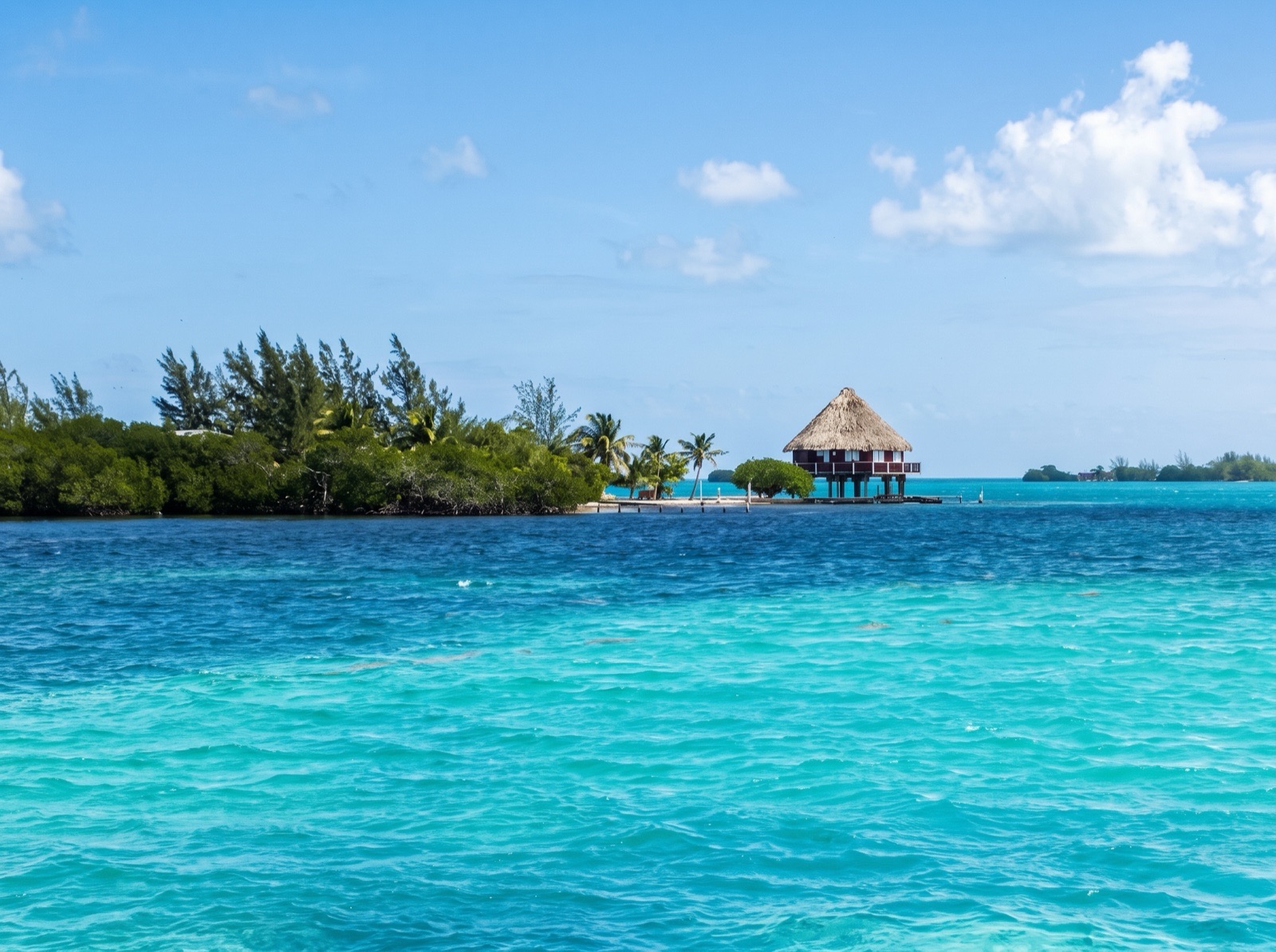
Long Caye Anchorage (Glover's Reef)
 AI image
Arrive 1:30 pm
Anchor in the lee of Long Caye on the eastern rim, beside the narrow channel to Northeast Caye. Sound carefully, because the lagoon is full of coral patches. The channel carries strong tidal flow, and fishing is not allowed south of Northeast Caye.
- 3:00 pmBeach walkAsk before landing near the lodges.
DAY 10 · Long Caye Anchorage (Glover's Reef)
AI imageA layover day for the wall. The Long Caye Wall, just east of the caye, drops thousands of feet and is exposed to the trades, so go on a calm morning with a licensed guide if you dive. Snorkellers can stay on the lagoon-side reefs. Never anchor on the reef; use a mooring or drift from the tender.
- 8:30 amWall dive or lagoon snorkelA licensed guide is required for scuba; snorkel the lagoon patches if the swell is up.
24 NM · about 4 hto Thatch Caye Moorings
DAY 11 · Thatch Caye Moorings
 AI image
Arrive 2:30 pm
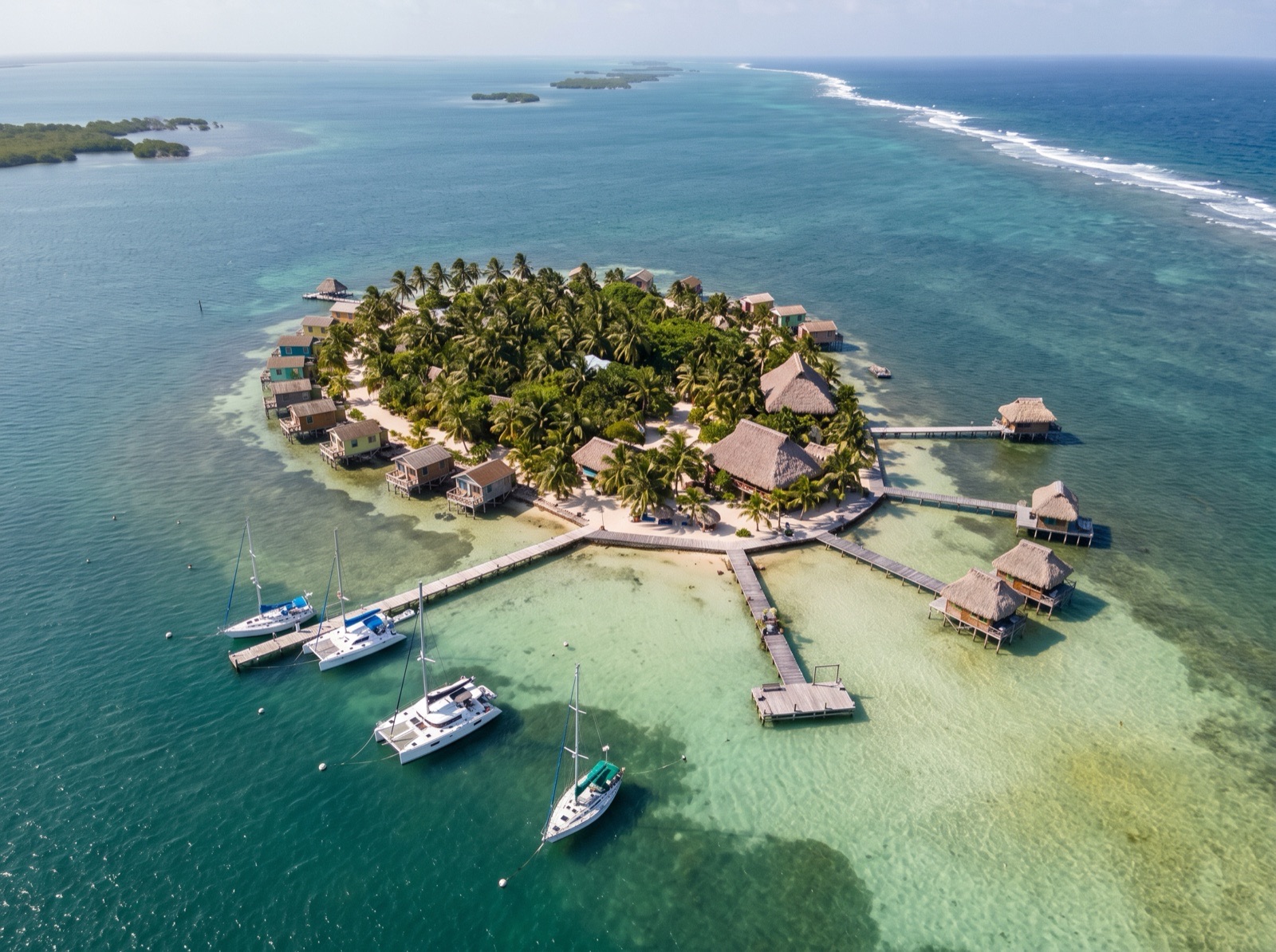
A small resort island south of Coco Plum Caye with seven visitor moorings, a restaurant and two bars. Book dinner a day ahead. The run back from Glover's is open water, so leave early and keep the sun high behind you as you approach the reef cuts.
- 4:00 pmGuided snorkel in the reserveBook tours the day before.
25 NM · about 4 h 10 mto Whipray Caye (Wippari)
DAY 12 · Whipray Caye (Wippari)
AI imageArrive 2:00 pm
The return to Whipray Caye, about 8 miles from Placencia, keeps the last day short. The same warnings apply: two moorings on the west side, unmarked coral heads, and Viper Rocks to the south. Pick up a mooring early in the afternoon while the light is still good.
9.5 NM · about 1 h 35 mto Placencia Harbour Anchorage
DAY 13 · Placencia Harbour Anchorage
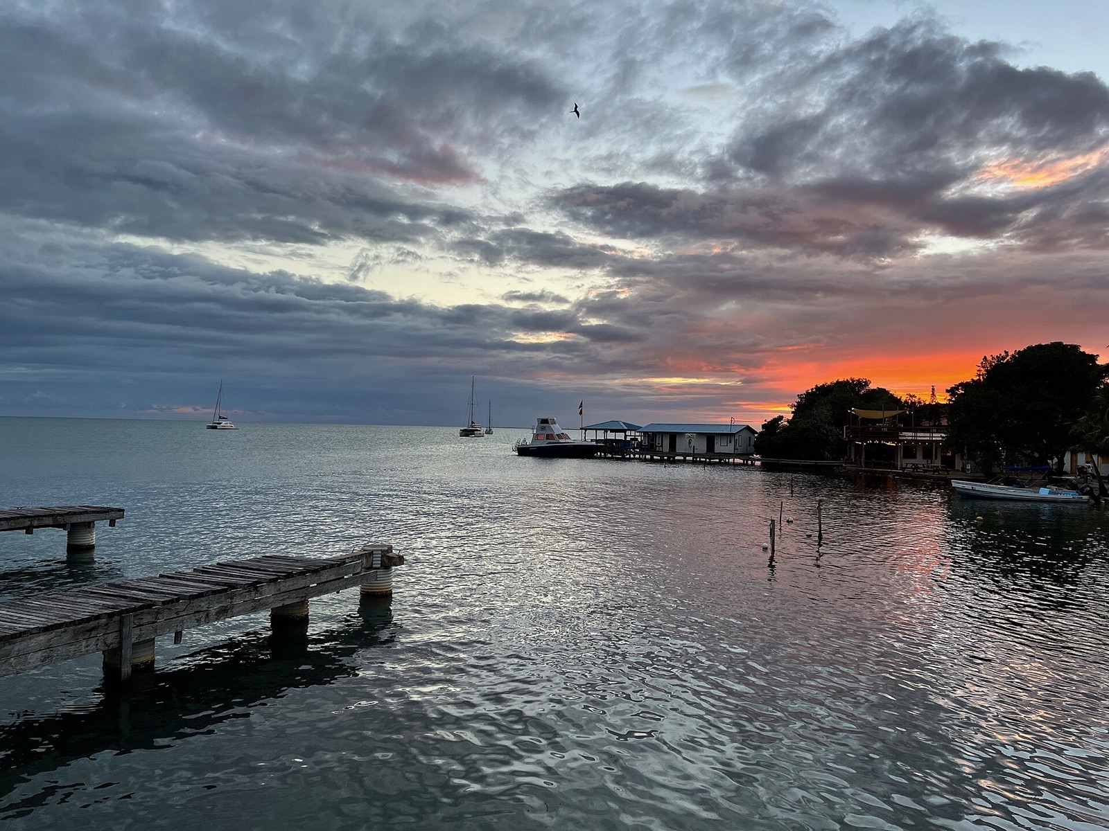 Photo: Jim McIntosh · CC0 1.0
Arrive 11:00 am
The cruising hub of southern Belize, with anchoring in mud between Placencia village and Placencia Caye. It is open to the south and south-southeast, so move if the wind goes there. Land at the town pier or fuel dock, lock the dinghy and outboard at night, and expect weekend noise from shore. Placencia is not a port of entry.
- 12:30 pmLunch ashorePlacencia's sidewalk has bars, restaurants and supermarkets.
3 NM · about 30 mto Laru Beya Marina (Placencia)
DAY 14 · Laru Beya Marina (Placencia)
AI imageArrive 10:00 am
Return to the base for check-out. Call on VHF 74 about 15 minutes before arriving so a skipper can bring the boat in, and allow time to clean and refuel. Charters end at 11:00 am, so the sail from Placencia is a short morning hop.
Comments
No comments yet