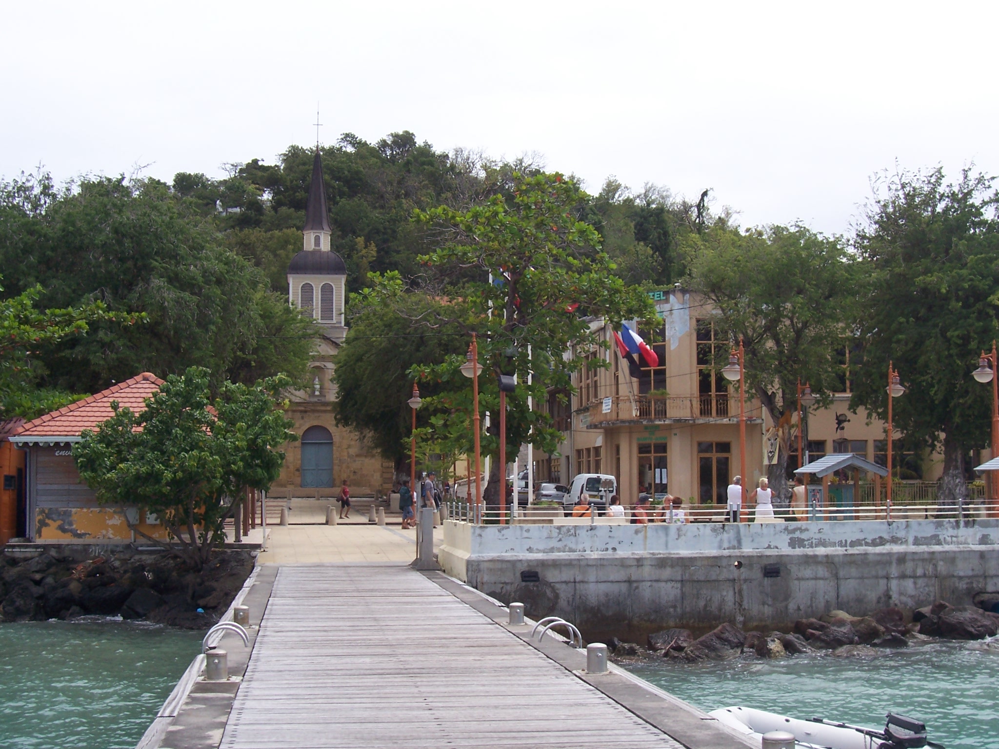
 CC BY 3.0, Mica, Wikimedia Commons
Anchorage· Martinique· Windward Islands
Ste-Anne Anchorage
14° 26.1′ N · 60° 53.2′ W
A huge, shallow sand anchorage off the pretty fishing village of Ste-Anne at the mouth of the Cul-de-Sac du Marin, rarely full and with turquoise water and a beach walk to Pointe Marin.
Practical
Noonsite gives the position as 14°26'06"N 61°53'14"W. The longitude is a typo for 60°53'14"W, which is used here. Anchor in 3-6 m on sand off the village or further south off Pointe Marin and Anse Caritan. It is less protected than the inner Marin anchorages and can get rolly when the trades go south-east or a north swell wraps in. In strong trades (20-30 knots, Christmas winds) the fetch kicks up a steep chop, so give plenty of scope. More mooring balls are being installed and anchoring is being discouraged (Noonsite). Dinghy landing is at the town's concrete dock or the floating dock at Pirates Beach (see separate entries). Bus A runs from the town centre to Le Marin, €2.10 one way (Noonsite, 2018; verify locally). Security: Noonsite and CSSN call the Ste-Anne anchorage and dinghy dock the region's theft hot spot, with dinghies slashed in periods of local tension, and they report assaults in August and September 2026. Lock everything, lift the dinghy at night and listen to the cruiser net. The dinghy speed limit is 2 knots.
Best for
Swimming at anchor near the services of Le Marin
Season
Year-round; uncomfortable in strong south-east trades or northerly swell
Nearby
- Winter North Swell and Christmas Winds (Martinique)Right here
- Natiyabel Dive Centre (Ste-Anne fishing port)0.2 NM away
- La Dunette (Ste-Anne waterfront)0.3 NM away
- Le M (formerly Paille Coco), Ste-Anne0.3 NM away
- Ste-Anne Beach Restaurants0.3 NM away
- Ste-Anne Market and Groceries0.3 NM away
- Ste-Anne Village, Church and Dinghy Dock0.3 NM away
- People Beach (Anse Caritan)0.4 NM away