 CC BY-SA 2.0, Flickr user via Wikimedia Commons
Hike· Bora Bora· French Polynesia — Society Islands
Mount Pahia Hike
16° 30.6′ S · 151° 45.0′ W · approximate
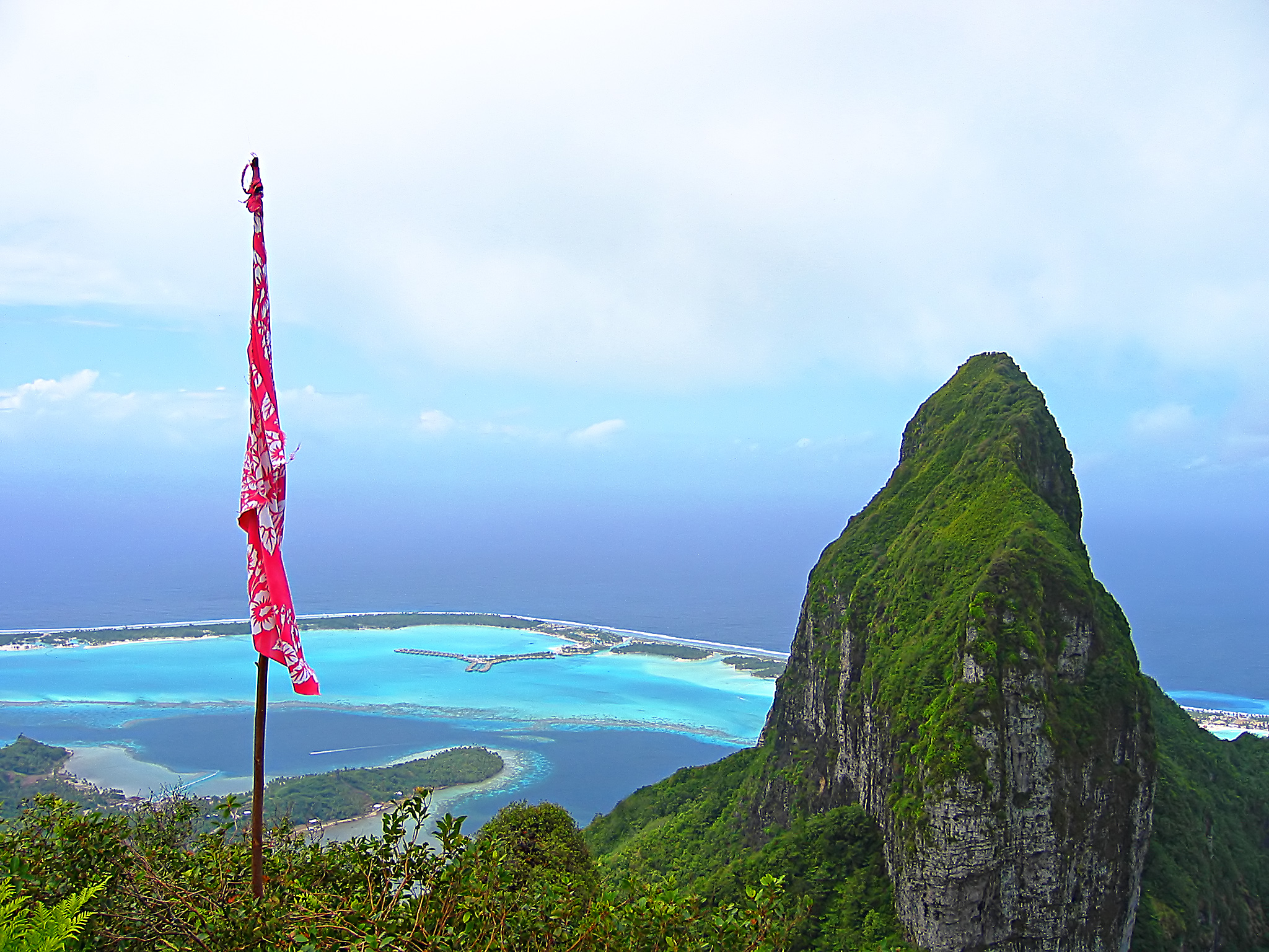
A steep scramble from the edge of Vaitape to the 661 m twin summit of Mount Pahia, Bora Bora's second-highest peak, with a near-360° view of the lagoon, the motus and Otemanu next door.
Practical
Expert World Travel: trailhead at the end of the road near the Catholic church in Tiipoto (coordinate is the OSM Tiipoto neighbourhood, approx); 3.4 km, about 600 m gain, roughly 2 hours 30 minutes up; many switchbacks, scrambling and some vertical sections with fixed ropes; start passes close to guarded private property, so a local guide is advised; dry weather only, since guides refuse after rain. Tahiti Tourisme describes a 7 km trail with rope railings and slippery slopes, and a 'bird cave' high on the mountain said to be the resting place of souls. Alternative: Mount Ohue (619 m) from behind Hina Pearls opposite the Vaitape port, 5.1 km return, about 5 hours, difficult and rope-secured; the ridge continues to Pahia (about 1 extra hour return). Start early and carry plenty of water.
Best for
Best summit view in Bora Bora
Season
Dry season (May–Oct); never after rain
Nearby
- Bobcat Wine & Coffee House (Vaitape)0.2 NM away
- Bora Bora Dispensary & Pharmacy0.2 NM away
- Bora Bora Laverie0.2 NM away
- Bora Bora Marine Repairs (Taxi Motu Marine & canvas)0.2 NM away
- Bora Bora Pearl Farm0.2 NM away
- Coffee & Tee Café (Vaitape)0.2 NM away
- Heiva i Bora Bora (Vaitape)0.2 NM away
- Le Fournil du Fenua Bakery (Vaitape)0.2 NM away