 AI image
Grenadines Round Trip from St Vincent
The Grenadines
97 NM · Moderate · 12 days
♡ Not saved yet · No comments yet
ModerateThe Bequia Channel can be rough in reinforced trades; the rest is short, line-of-sight hops.
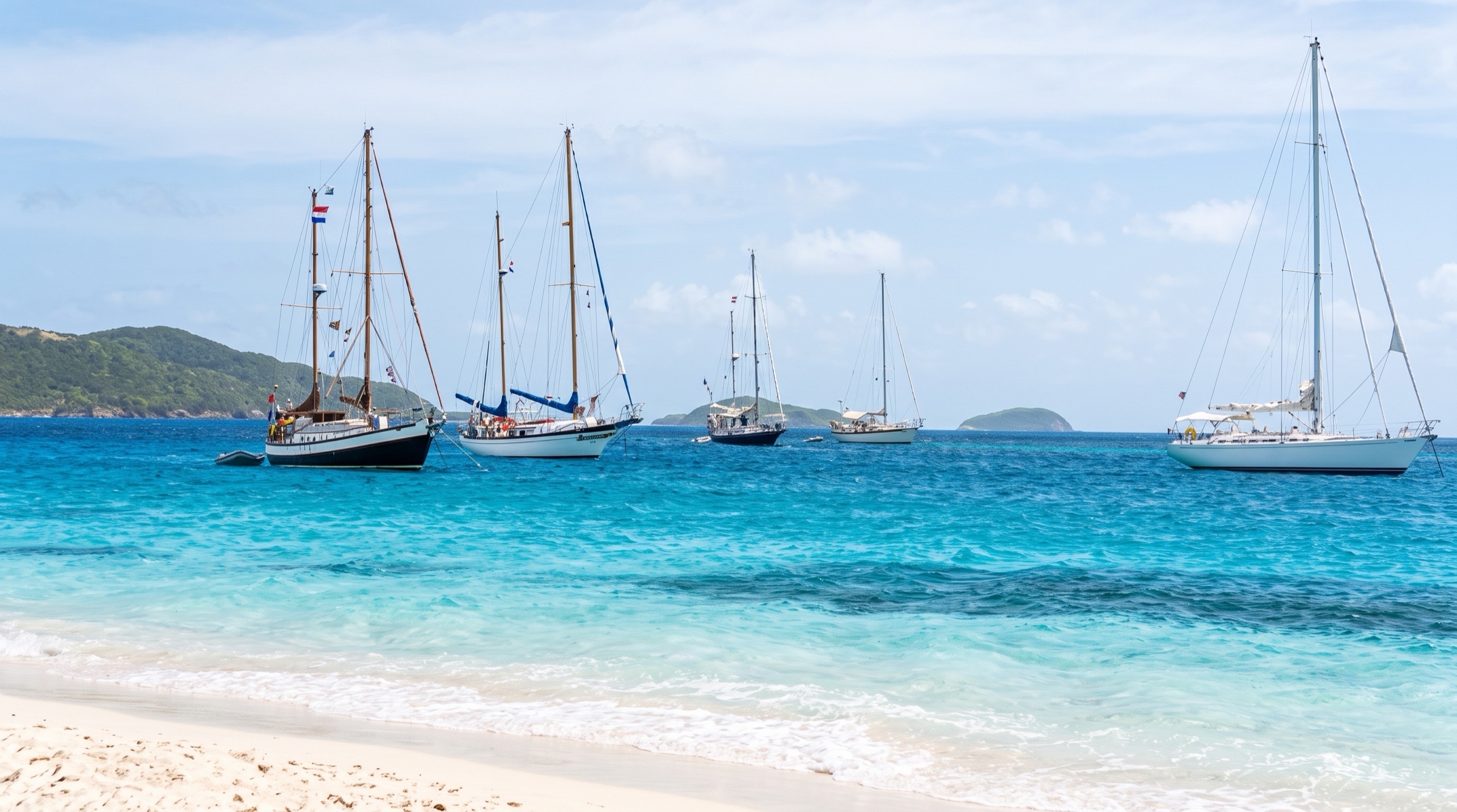
A 12-day round trip from Blue Lagoon Marina, south through Bequia, Mustique, Canouan, the Tobago Cays, Mayreau and Union Island to Petit St Vincent, then back north the same way. Most legs are short hops, with snorkelling at the Tobago Cays, a sandbar lunch at Mopion and one beach or bar every evening.
DAY 1 · Blue Lagoon Marina (St Vincent)
 AI image
Leave 10:00 am
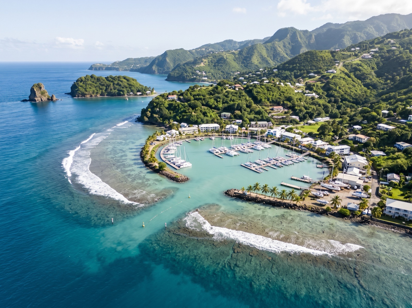
A small hotel marina inside Blue Lagoon with a fuel dock, a restaurant and the most convenient customs office for yachts on St Vincent. Finish checking in and provision here, since the shops get sparser as you go south. Boats that draw more than about 6.5 ft cannot use the marked channel at low tide, so plan your departure around the tide.
- 9:00 amChart briefing and provisioningTop up fuel, water and fresh food before the first mooring.
8.5 NM · about 1 h 25 mto Admiralty Bay, Bequia
Admiralty Bay, Bequia
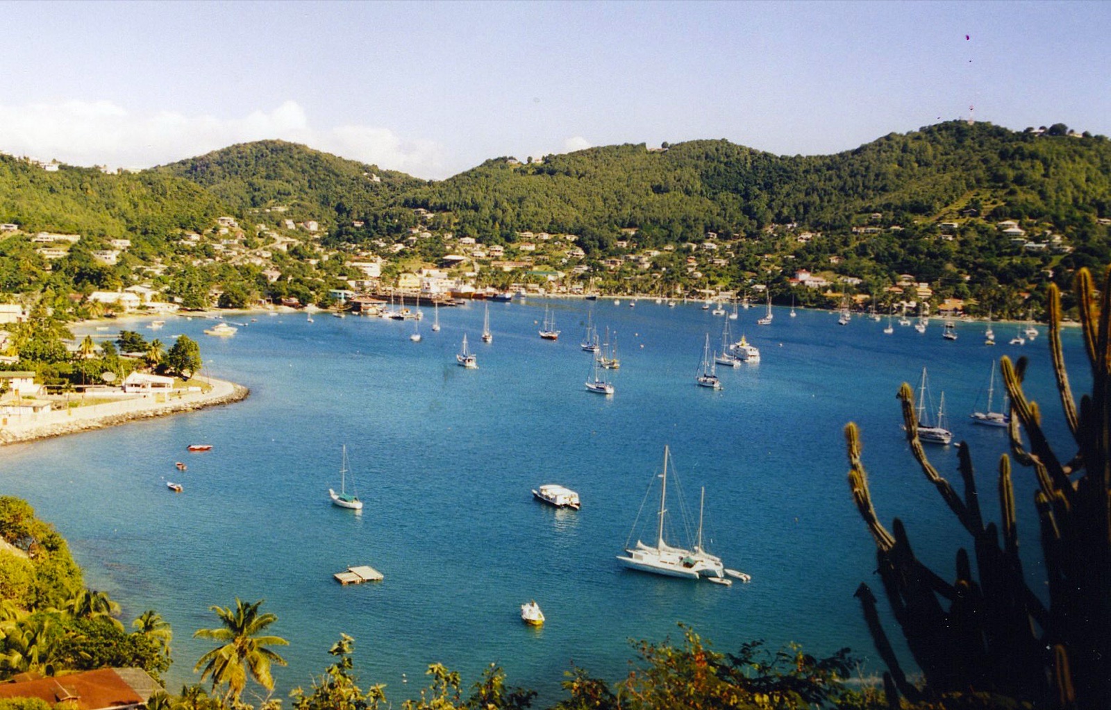 Photo: David Broad · CC BY 3.0
Arrive 12:00 pm
The sailor's harbour of the Grenadines, a deep bay with Port Elizabeth around its head and boat builders working on the beach. The first leg crosses the Bequia Channel, which can be lively in reinforced trades, so reef early. Moorings here are private and unregulated, so dive on yours to check it, or anchor in sand either side of the ferry channel.
- 4:00 pmWalk the Belmont WalkwayA waterfront path along the south shore with bars and cafes on the way back to town.
9.5 NM · about 1 h 35 mto Britannia Bay, Mustique
DAY 2 · Britannia Bay, Mustique
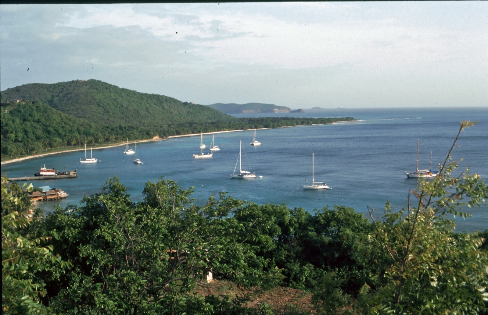 Photo: qwesy qwesy · CC BY 3.0
Arrive 11:30 am · leave 9:30 am
Mustique is a private island, and this mooring field off the jetty is the only place a visiting yacht may stop. Call the moorings office on the radio before you arrive, as space is controlled and anchoring is generally not allowed. Turtles graze between the boats, and the beach bar at the jetty is an easy dinghy ride.
- 12:30 pmSnorkel the mooringsTurtles are common around the boats; keep to the 5-knot speed limit.
15 NM · about 2 h 30 mto Charlestown Bay, Canouan
DAY 3 · Charlestown Bay, Canouan
 AI image
Arrive 12:00 pm · leave 9:30 am
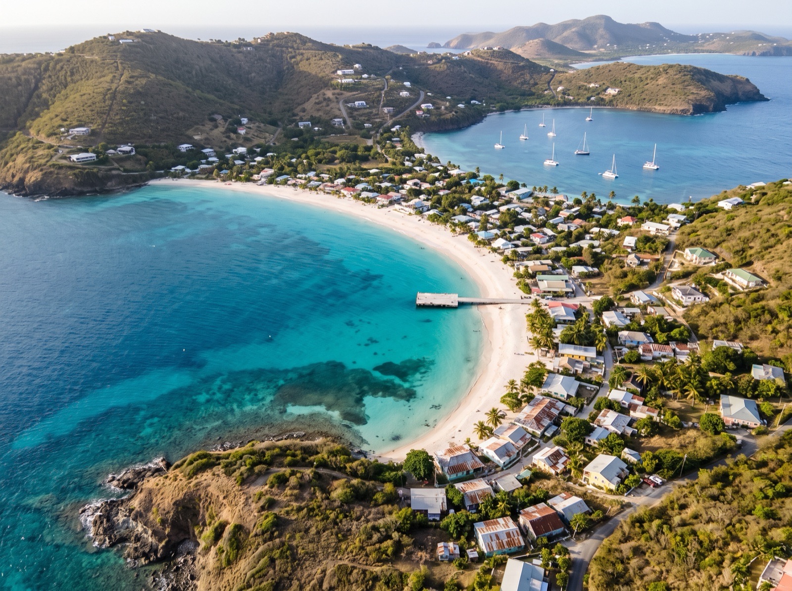
Canouan's main anchorage is a wide sand bay under green hills, with the village, ferry wharf and customs just ashore. Holding is good in sand, but the bay is open to the northwest and gusts off the hills swing boats around. It is a natural last stop before the Tobago Cays and has the last proper shops on the way south.
5.5 NM · about 55 mto Tobago Cays Moorings
DAY 4 · Tobago Cays Moorings
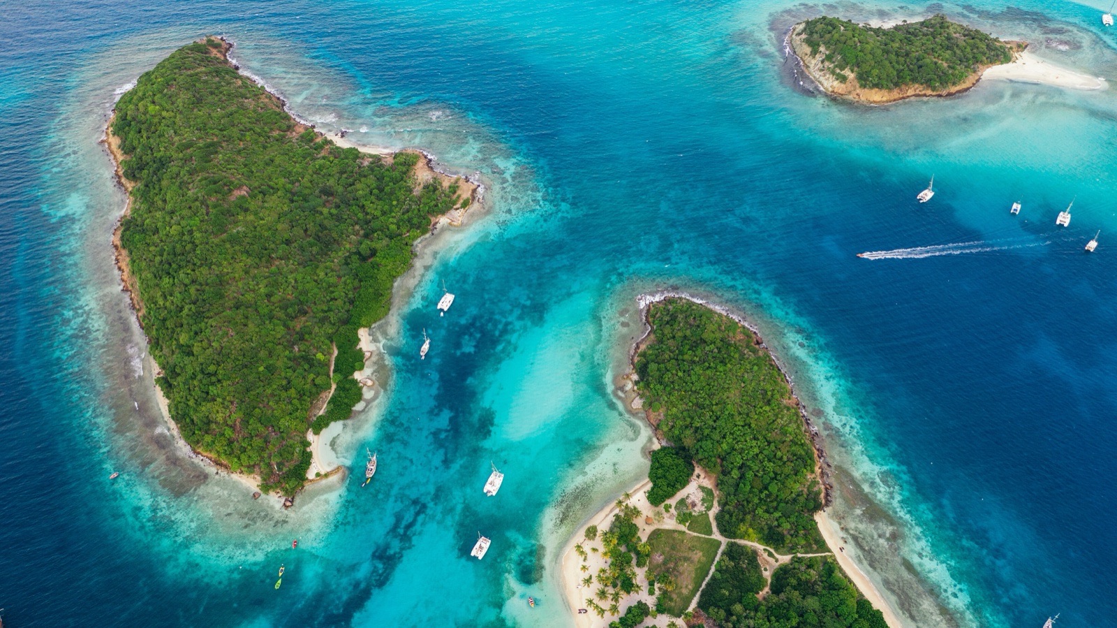 Photo: Stefan Schäfer, Lich · CC BY-SA 4.0
Arrive 11:00 am · leave 9:30 am
The signature stop of the trip: a mooring field in the open lagoon by Baradal's turtle area, with Horseshoe Reef between you and the Atlantic. Park rangers collect the mooring and entrance fees, and the moorings have been poorly maintained at times, so check yours. Snorkel the turtles in the morning and the reef when the light is high.
- 12:00 pmSnorkel Baradal's turtle areaStay on the sandy edges and keep off the seagrass.
2.5 NM · about 25 mto Salt Whistle Bay, Mayreau
DAY 5 · Salt Whistle Bay, Mayreau
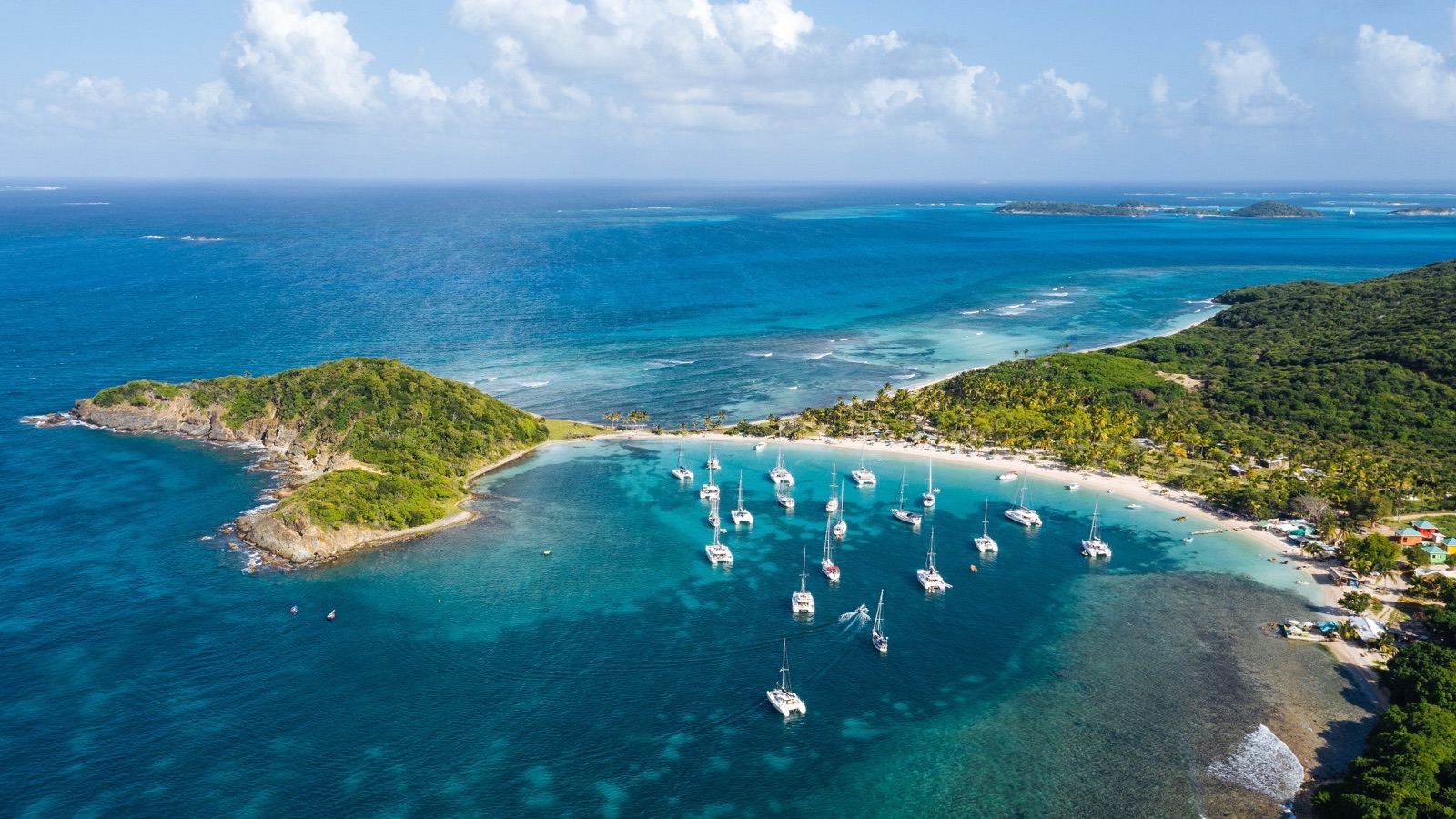 Photo: Stefan Schäfer, Lich · CC BY-SA 4.0
Arrive 11:30 am · leave 10:30 am
A half-moon of white sand and palms on Mayreau's northwest tip, one of the most photographed anchorages in the Caribbean. It sits inside the Tobago Cays Marine Park, so the same fees apply. Space is tight and charter catamarans fill the moorings, so arrive early and check any mooring before you trust it.
- 5:00 pmSundowner at the beach barsA short dinghy ride ashore.
4 NM · about 40 mto Clifton Harbour, Union Island
DAY 6 · Clifton Harbour, Union Island
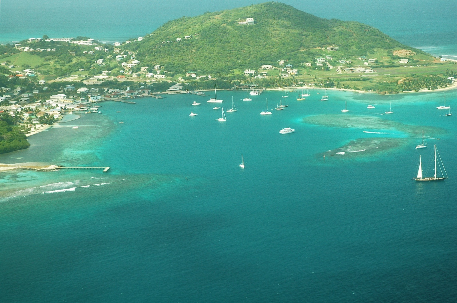 Photo: Igbgrant at English Wikipedia · CC BY 2.5
Arrive 11:30 am · leave 10:00 am
A reef-protected harbour off Union Island's main town and the southern clearance port for St Vincent and the Grenadines. Only the Tobago Cays Marine Park rangers should be paid for moorings, so ignore pushy freelance offers. Provision in town, then visit the Happy Island bar on its conch-shell islet.
- 5:00 pmDrinks at Happy IslandA small bar built on a heap of conch shells in the harbour.
2.5 NM · about 25 mto Chatham Bay, Union Island
DAY 7 · Chatham Bay, Union Island
 AI image
Arrive 11:00 am · leave 10:00 am
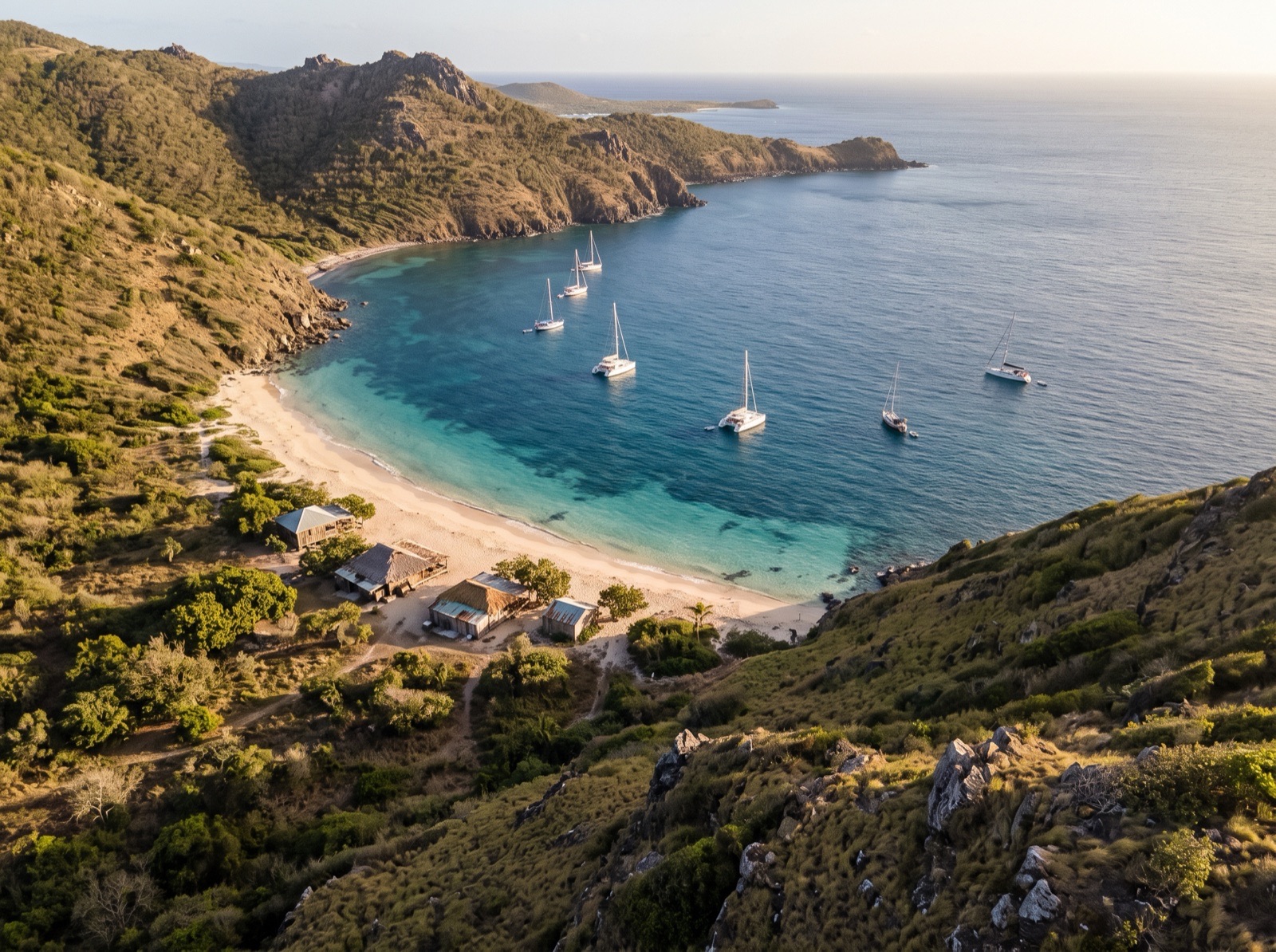
A wide, quiet bay filling Union's west coast, with steep hills behind, turtles in the water and a few beach-shack restaurants. Anchor in sand off the beach. It is generally calm, but short, hard gusts roll down the hills. The bay is not a port of entry, so complete your clearance at Clifton first.
- 12:00 pmSnorkel the north and south sidesBoth ends of the bay have good snorkelling.
6.5 NM · about 1 h 5 mto Petit St Vincent (turnaround)
DAY 8 · Petit St Vincent (turnaround)
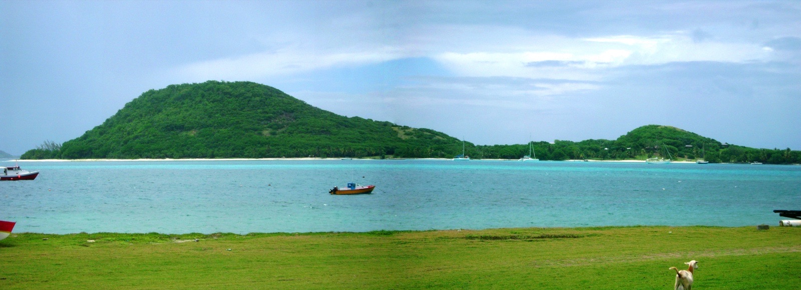 Photo: dpursoo · CC BY-SA 3.0
Arrive 11:00 am · leave 9:00 am
The southernmost island of St Vincent and the Grenadines and the turnaround point of this trip. Current changes with the tide and boats swing when the wind drops, and the reef off the dinghy dock extends farther than it looks. Petite Martinique, a mile southeast, belongs to Grenada, so do not land there without clearing in.
1 NM · about 10 mto Mopion Sandbar
DAY 9 · Mopion Sandbar
 AI image
Arrive 9:15 am · leave 11:30 am
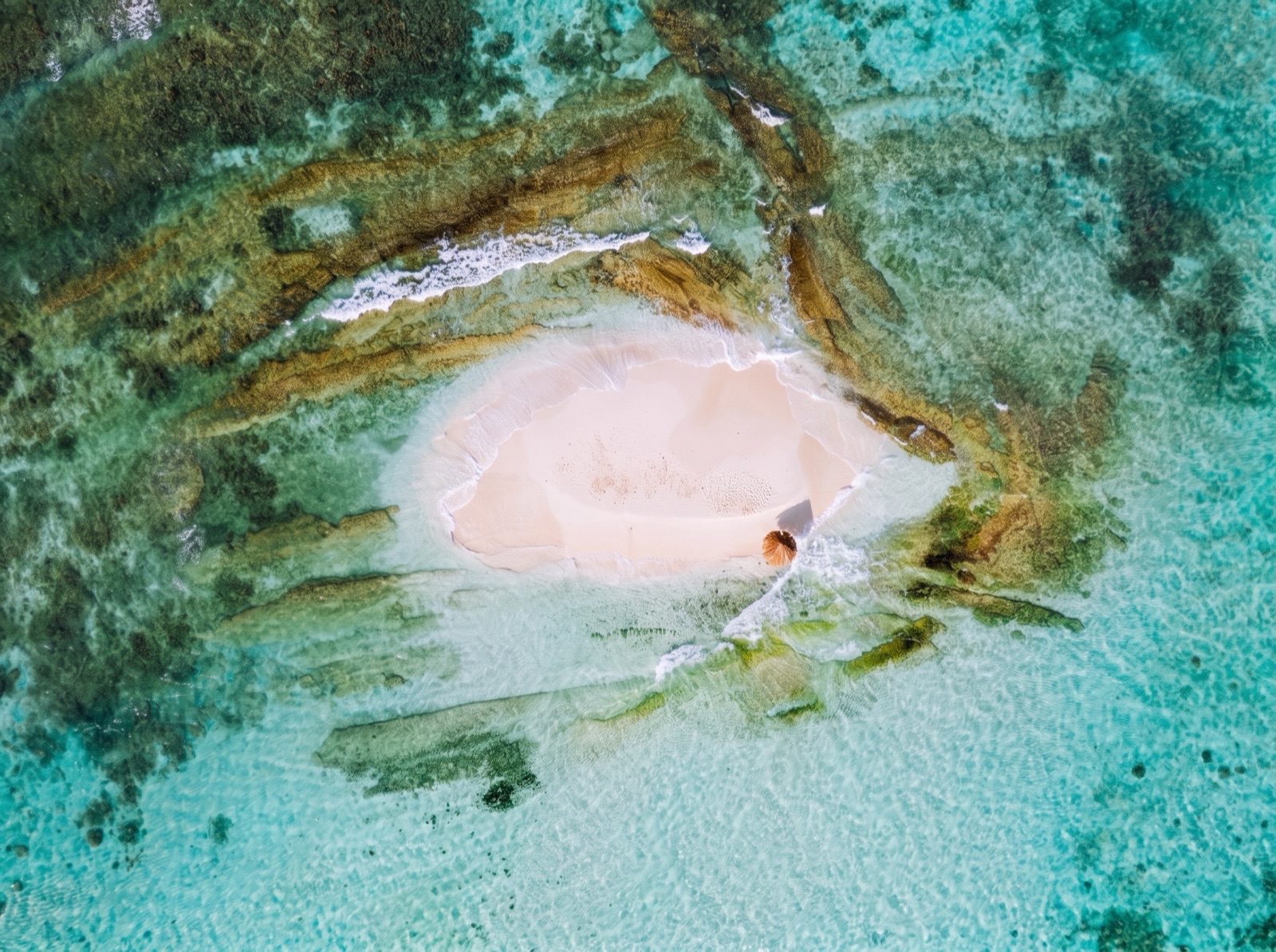
A tiny sand cay on the reef northwest of Petit St Vincent, traditionally topped by a single thatched umbrella. Visit by dinghy from the anchorage, or anchor nearby only in settled weather and good light, as reefs surround it. There is no shade or services, so take all your rubbish away.
- 9:30 amSwim and snorkel off the sandbarCheck the light first: the reefs are easier to read when the sun is high.
6.5 NM · about 1 h 5 mto Tobago Cays, Petit Rameau Channel
Tobago Cays, Petit Rameau Channel
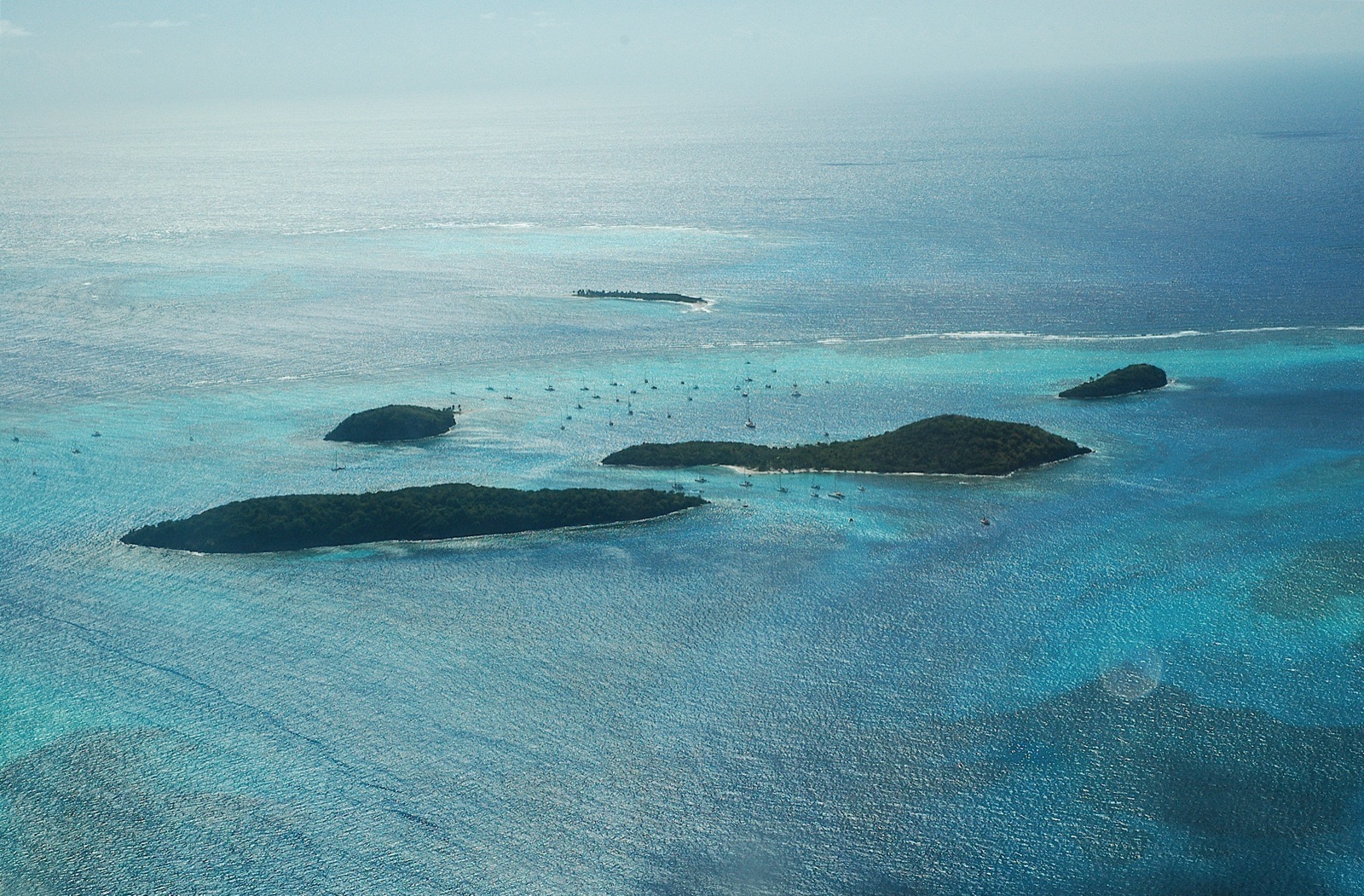 Photo: Igbgrant at English Wikipedia · CC BY 2.5
Arrive 1:00 pm · leave 11:00 am
The most sheltered spot in the Cays: a narrow cut between two palm-fringed islets with a sand bottom. Strong tidal current runs through the cut, so many boats take a mooring instead, or set bow and stern anchors. Walk the trails on Petit Bateau and swim in the lagoon before dark.
6 NM · about 1 hto Rameau Bay, Canouan
DAY 10 · Rameau Bay, Canouan
 AI image
Arrive 11:30 am · leave 9:30 am
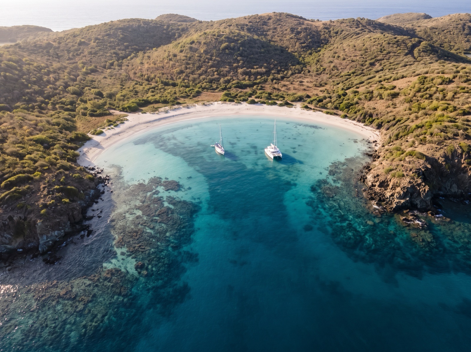
A quieter bay just north of Charlestown that cruisers use to escape the crowds and gusts of the main anchorage. With the current and tide, boats swing randomly, so leave generous room and expect to set the anchor more than once. There are no services ashore, so go to Charlestown for supplies.
20.5 NM · about 3 h 25 mto Princess Margaret Bay, Bequia
DAY 11 · Princess Margaret Bay, Bequia
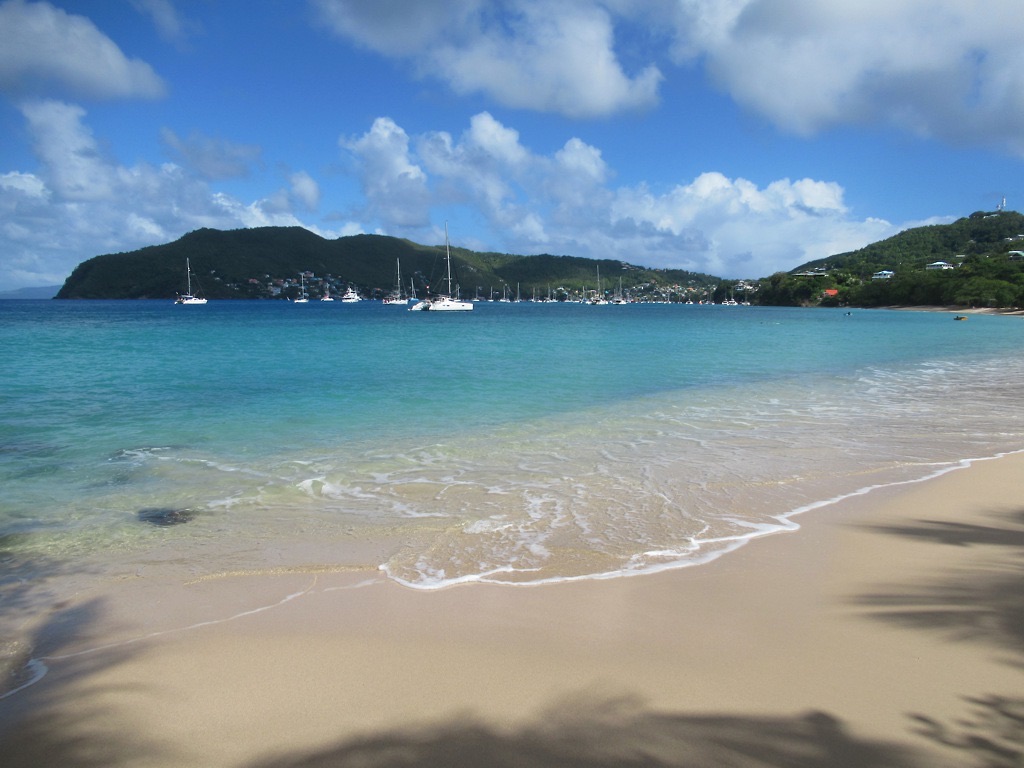 Photo: David Stanley from Nanaimo, Canada · CC BY 2.0
Arrive 12:30 pm · leave 7:30 am
The south side of Admiralty Bay, with clear water over sand, a long golden beach and turtles between the boats. This is the longest leg of the trip, around four to five hours, so leave early and expect trade-wind swell crossing the Bequia Channel tomorrow. Anchor at least 200 yards off the beach, away from swimmers.
- 2:00 pmSnorkel toward Lower BayCruisers rate the reef off the west end of the beach among the best on the island.
9 NM · about 1 h 30 mto Blue Lagoon Marina (return)
DAY 12 · Blue Lagoon Marina (return)
AI imageArrive 11:30 am
Back where you started, after the Bequia Channel in the morning, usually a close reach in the trades. Radio the marina before you enter, and again allow for the tide in the channel if you draw over about 6.5 ft. Allow time to refuel and clean up before your checkout.
Comments
No comments yet