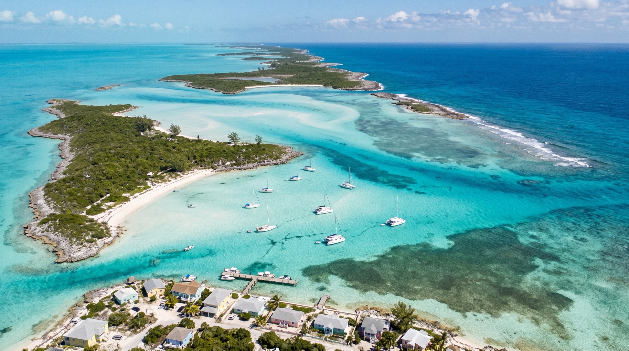
 AI image
Exumas South: Staniel Cay to George Town and Back
Exuma Cays
131 NM · Challenging · 8 days
♡ Not saved yet · No comments yet
ChallengingOcean cuts into Exuma Sound: never transit a cut with wind against an ebb; use slack water.
Eight days south from Staniel Cay through the central and southern Exumas to George Town and back along the same chain. The route uses the bank side where it can, and runs outside through Exuma Sound on the way to Elizabeth Harbour and back. That passage is the challenge: every cut needs a slack-water window and a settled forecast.
DAY 1 · Staniel Cay Yacht Club Marina
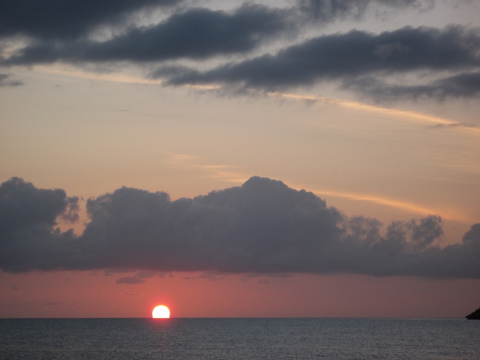 Photo: cogdogblog · CC0
Arrive 9:00 am · leave 11:00 am
The charter starts here, the social and fuel hub of the central Exumas. This is the only reliable diesel between the Land and Sea Park and George Town, so top up tanks and water before you leave. Check the forecast for the cuts ahead and plan your slack-water windows from the tide tables.
1.5 NM · about 15 mto Big Majors Spot Anchorage
Big Majors Spot Anchorage
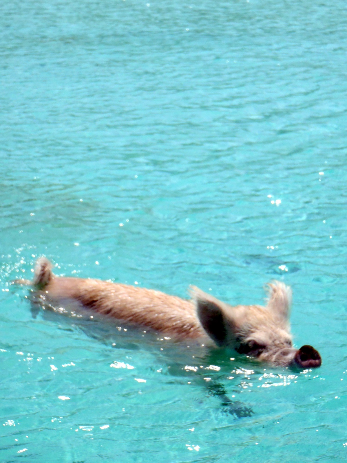 Photo: cdorobek · CC BY 2.0
Arrive 11:30 am · leave 1:30 pm
A wide sand bay with good holding and room for dozens of boats, best known for the swimming pigs on nearby Big Major Cay. Protected from north through south but open to the west, so leave before a front clocks the wind. Anchor well off the beach and dinghy in for lunch.
- 12:00 pmVisit the pigsDinghy to the beach and go ashore for the swimming pigs; give them room and keep your hands out of reach.
6.5 NM · about 1 h 5 mto Black Point Settlement Anchorage
Black Point Settlement Anchorage
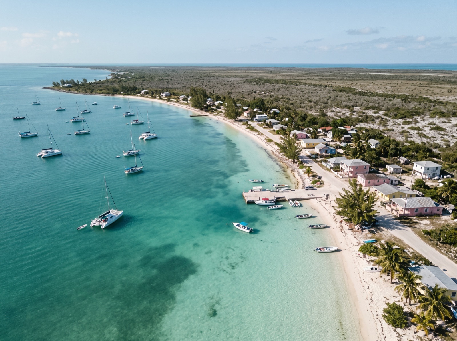 AI image
Arrive 3:00 pm · leave 9:00 am
One of the largest and best anchorages in the Exumas, off a working Bahamian village. Holding is excellent, but the bay becomes a lee shore if the wind clocks west. There are no slips or moorings and no fuel; free water and trash disposal are near the government dock.
- 4:30 pmLaundry and a walk ashoreBlack Point is a good place for provisions, a hot meal and fresh bread ordered a day ahead.
11 NM · about 1 h 50 mto Little Farmer's Cay Anchorage
DAY 2 · Little Farmer's Cay Anchorage
 AI image
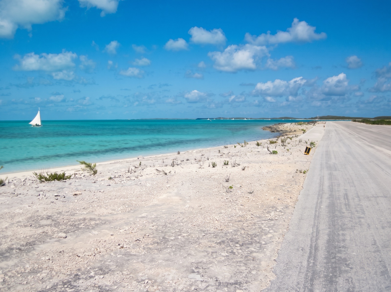
Arrive 11:30 am · leave 2:00 pm
A small settlement on a 68-acre cay with good sand holding north of the airstrip and moorings available locally. Do not anchor with your mast in line with the runway approach. The anchorage is exposed to the west, so keep an eye on the forecast. Stop for lunch before the next leg.
5 NM · about 50 mto Cave Cay and Cave Cay Cut
Cave Cay and Cave Cay Cut
 AI image
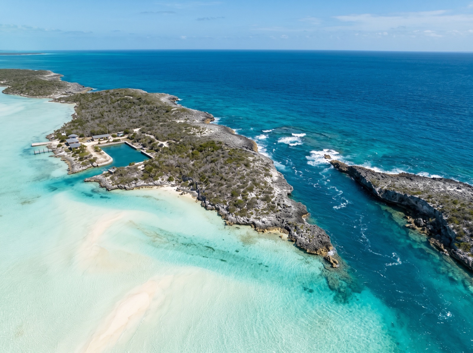
Arrive 3:00 pm · leave 9:00 am
Cave Cay Cut is regarded as one of the more reliable cuts into Exuma Sound in this part of the chain, which makes this a useful night before the run south. Services here are reported closed since the island was sold, so arrive self-sufficient. Look at the cut from the bank side in daylight and note the tide times.
3 NM · about 30 mto Rudder Cut Cay Anchorage and Sea Caves
DAY 3 · Rudder Cut Cay Anchorage and Sea Caves
 AI image
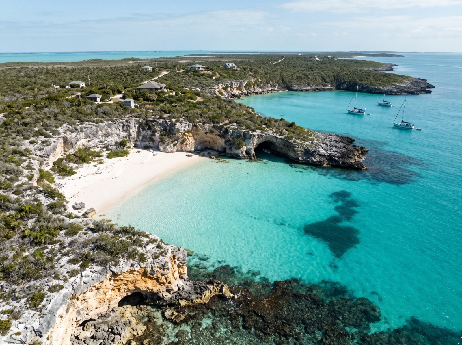
Arrive 9:30 am · leave 12:30 pm
A sheltered bight on the bank side with a sand beach and sea caves cut into the cliff, one big enough to motor a dinghy into. It is also a good staging spot while you wait for weather or a cut. Some beaches here are private and posted, so respect the signs.
- 10:00 amExplore the sea cavesDinghy along the cliff and snorkel at the caves in calm water, keeping clear of the swell at the entrances.
12 NM · about 2 hto Lee Stocking Island Research Station
Lee Stocking Island Research Station
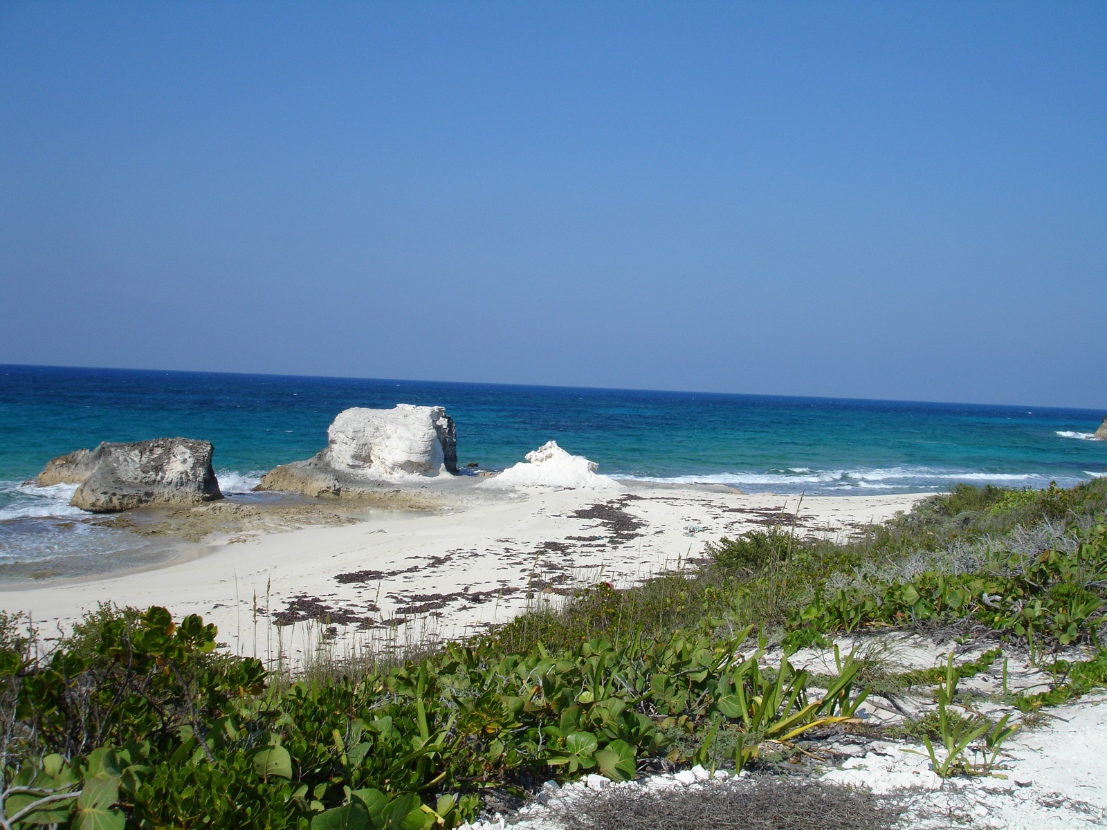 Photo: Kenneth Sams · CC BY 3.0
Arrive 4:00 pm · leave 8:00 am
Anchor off the abandoned research station on Lee Stocking Island, left in place when it closed in 2012. Current is strong, so allow room and use a snubber. Land at the stone steps or ramp rather than trusting the main dock, and treat the buildings as off limits unless clearly open.
4.5 NM · about 45 mto Rat Cay and Rat Cay Cut
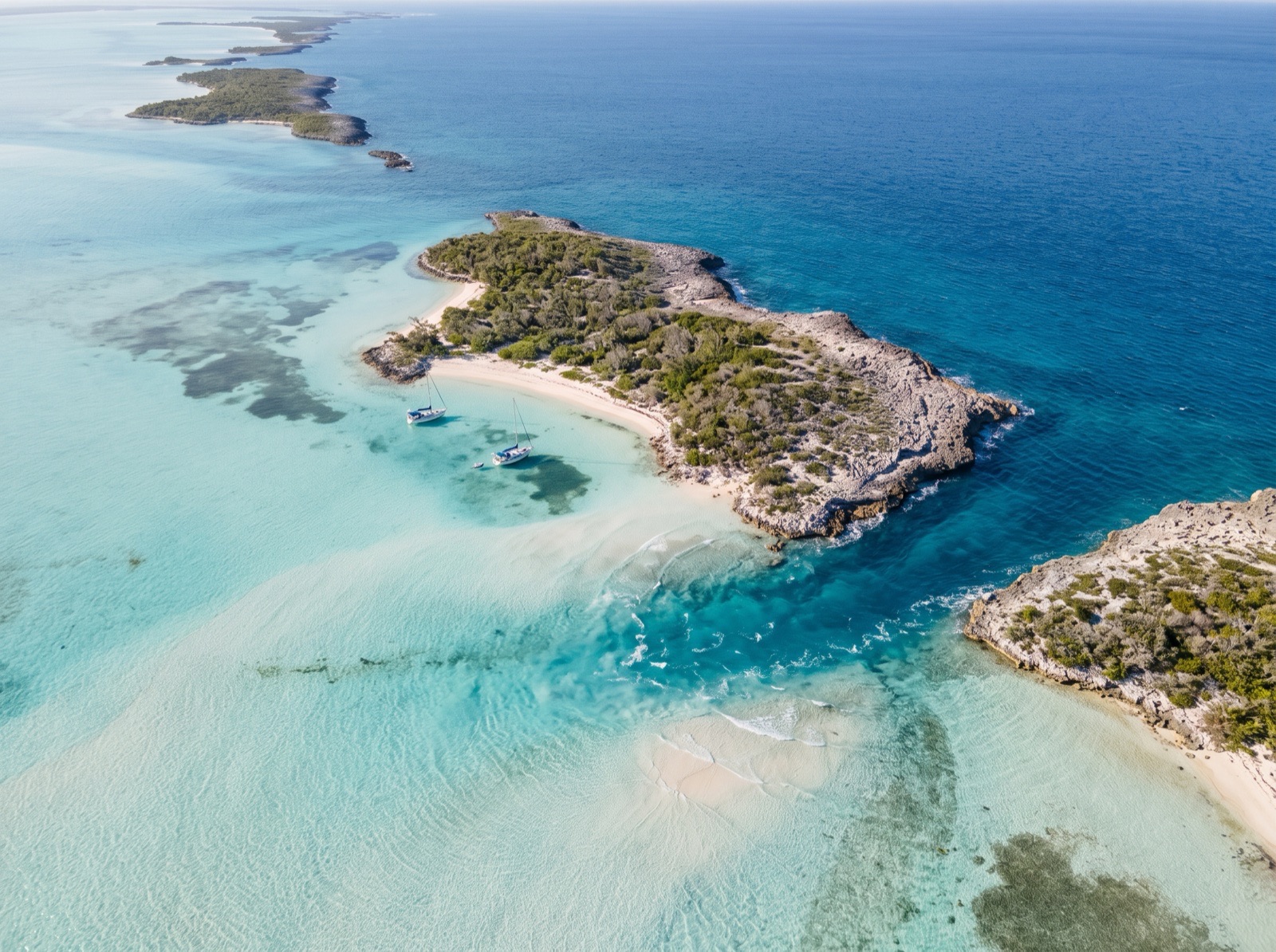
DAY 4 · Rat Cay and Rat Cay Cut
 AI image
Arrive 9:00 am · leave 9:00 am
A short hop to a good staging anchorage for the run to George Town. Rat Cay Cut is the direct way out to Exuma Sound from here, with Adderley Cut by Lee Stocking as the alternative. Check charted depths for your draft and go at slack water. Prefer the west beach in easterlies.
- 10:00 amBeach walk and snorkelA calm morning to stretch your legs and check the forecast before the long day through the Sound.
22.5 NM · about 3 h 45 mto Monument Beach Anchorage
DAY 5 · Monument Beach Anchorage
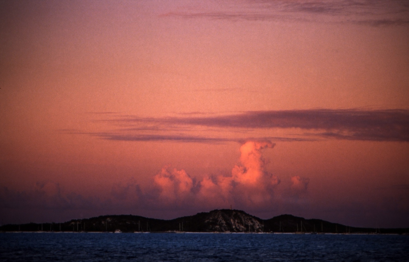 Photo: Rüdiger Stehn · CC BY-SA 2.0
Arrive 2:00 pm · leave 4:00 pm
Arrive after the run through Exuma Sound and in through Conch Cay Cut, then anchor under the old salt beacon off Stocking Island. This is one of the calmer anchorages in Elizabeth Harbour, with a hike on the doorstep. Anchor lights are required here, and a hard front makes it uncomfortable.
- 2:30 pmHike up to the monumentA short walk on Stocking Island for the view over the harbour.
1.5 NM · about 15 mto Kidd Cove Anchorage
Kidd Cove Anchorage
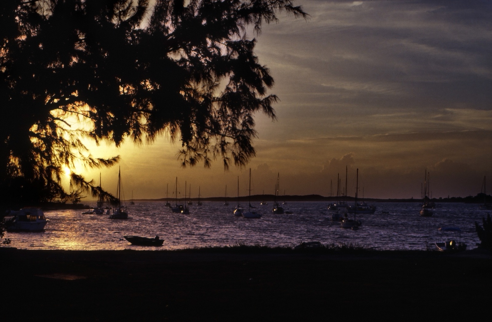 Photo: Rüdiger Stehn · CC BY-SA 2.0
Arrive 4:30 pm · leave 10:00 am
George Town's town-side anchorage, closest to the government dock, the grocery store and the dinghy basin. Chop and traffic come with the convenience. Large construction boulders are reported on the bottom here and are a real anchor and keel risk, so choose your spot carefully and stay clear of the mail-boat channel.
- 5:30 pmDinner ashoreDinghy into town for provisions and a meal. Stock up on fresh food for the return.
23 NM · about 3 h 50 mto Rat Cay and Rat Cay Cut
DAY 6 · Rat Cay and Rat Cay Cut
AI imageArrive 3:30 pm · leave 9:00 am
The return leg begins with the Sound crossing back to the bank, timed so you enter on the flood or at slack. Rat Cay is the staging stop on the way home and you can anchor on the west beach for the night. Check wind and swell before you leave Elizabeth Harbour.
4.5 NM · about 45 mto Lee Stocking Island Research Station
DAY 7 · Lee Stocking Island Research Station
Photo: Kenneth Sams · CC BY 3.0Arrive 11:00 am · leave 1:00 pm
A lunch stop on the way north, anchored off the ghost research station, with the same current and the same rule of dinghying to the stone steps. A good time to take the Perry Peak trail if you skipped it on the way south.
14.5 NM · about 2 h 25 mto Cave Cay and Cave Cay Cut
Cave Cay and Cave Cay Cut
AI imageArrive 3:00 pm · leave 8:30 am
Back on the bank side for the night, with the cut a short walk from the anchor for a last look at the Sound. If the forecast has turned, this is a sheltered place to wait. Plan tomorrow's early start for the run to Staniel Cay.
16 NM · about 2 h 40 mto Black Point Settlement Anchorage
DAY 8 · Black Point Settlement Anchorage
AI imageArrive 11:00 am · leave 1:30 pm
A last lunch stop before Staniel Cay. Fill water jugs from the public spigot, dispose of trash, and pick up fresh bread if you ordered it the day before. Check the wind direction if you plan to stay, as the bay is exposed to the west.
5.5 NM · about 55 mto Staniel Cay Yacht Club Marina
Staniel Cay Yacht Club Marina
Photo: cogdogblog · CC0Arrive 3:00 pm · leave 5:00 pm
The charter ends where it started. Take on fuel and water at the dock before returning the boat and settle up with the base. If you arrive early, walk the dock and watch the nurse sharks at the fish-cleaning table.
Comments
No comments yet